
Asbury Street in College Station, Texas
Asbury Street in College Station is a two-lane unclassified road. The street has a bike lane (bike lane). It runs as a one-way street in a southeast-northwest direction starting from Ross Street and crosses Hogg Street, New Street and University Drive and ends at Tauber Street. The nearest stop is Asbury Water Tower. The bus lines 01 and 01-04 serve this stop. Asbury Street also exists in Brown County, Denton County and Cherokee County.
- Road Type
- unclassified road
- Lanes
- 4
- Route
- southeast-northwest
Image
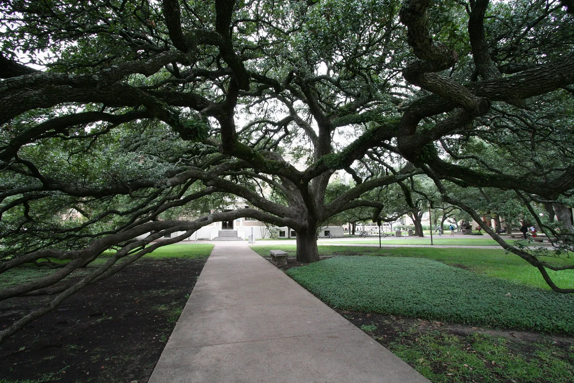
Bus stops
- bus lines 01, 01-04
Streets nearby
Tauber Street50 ft
New Street350 ft
Ireland Street0.1 mi
Hogg StreetSmoothie King
0.1 mi
Wheels Route0.3 mi
Houston StreetChick-fil-A, Fish Pond West, MSC, Beutel
0.3 mi
Old Main DriveMSC
0.3 mi
Military Walk0.3 mi
Amenities nearby
Sbisa Dining Hall0.1 mi
Legett Residence Hall0.2 mi
Clinics nearby
A. P. Beutel Health Center0.3 mi
Dormitories nearby
Hotard Hall250 ft
Neeley Residence Hall350 ft
Hobby Residence Hall450 ft
Schuhmacher Residence Hall0.1 mi
Walton Residence Hall0.1 mi
Milner Hall0.2 mi
Nagle Hall0.4 mi
Fountains nearby
Fish Pond0.2 mi
Libraries nearby
Cushing Memorial Library0.3 mi
Parking lots nearby
Northside Garage500 ft
Parks nearby
Chemistry Plaza0.3 mi
Academic Plaza0.3 mi
Pastry shops nearby
Insomnia Cookies200 ft
Places of worship nearby
All Faiths Chapel0.3 mi
Residential buildings nearby
Haas Residence Hall0.2 mi
McFadden Residence Hall0.2 mi
Service buildings nearby
Central Utility Plant0.1 mi
University buildings nearby
Utilities & Energy Services Central Office0.1 mi
Mitchell Institute0.1 mi
Mitchell Physics Building0.1 mi
Blocker Building0.1 mi
Engineering Innovation Center0.2 mi
Lechner Hall0.2 mi
Reed-McDonald Building0.2 mi
Heaton Hall0.2 mi
Fermier Hall0.2 mi
Halbouty Geosciences Building0.2 mi
Mechanical Engineering Office Building0.2 mi
Thompson Hall0.2 mi
Harrington Education Center0.3 mi
Bolton Hall0.3 mi
Harrington Education Center Classroom Building0.3 mi
YMCA Building0.3 mi
Doherty Building0.3 mi
Francis Hall0.3 mi
Academic Building0.3 mi
Coke Building0.3 mi
Biological Sciences Building West0.4 mi
 Public transit map College Station Legend
| Railway | |
| Bus | |
| Streetcar |
 Bicycle map College Station Legend
| Bike path | |
| Bike lane on roadway | |
| Cycling allowed on bus lane | |
| Bicycle street | |
| Open to cyclists | |
| Open to cyclists, good path | |
| Cycling prohibited | |
| Cobblestone |
| Long-distance bike route | (depending on scale) | |
| Long-distance bike route |
 Pedestrian map College Station Legend
| Path |
| Long-distance hiking trail | (depending on scale) | |
| Long-distance hiking trail | ||
| Pedestrians prohibited |