
Northeast Texas Trail in Farmersville, Texas
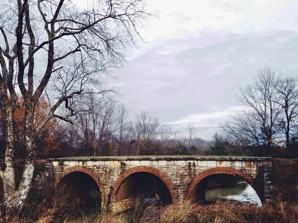
Northeast Texas Trail in Farmersville is a razed railway. It runs in a northeast-southwest direction and crosses Murchison Street, Houston Street and College Street. It ends in a cul-de-sac. Northeast Texas Trail is also known as Chaparral Rail Trail. Nearby there is a tourist information. Northeast Texas Trail also exists in Lamar County, Bowie County, Red River County and Hunt County. Ⓦ.
- Alternate Name
- Chaparral Rail Trail
- Bicycle
- designated
- Road Type
- bike path
- Website
- https://netexastrail.org/
- Route
- northeast-southwest
Image
Tourist information centers
Streets nearby
Murchison Street400 ft
North Buckskin Street0.2 mi
Woodard Street0.2 mi
Prospect Street0.2 mi
Austin Street0.2 mi
6th Street0.3 mi
Central Street0.3 mi
Houston Street0.3 mi
Short Street0.3 mi
9th Street0.3 mi
Merit Street0.3 mi
Jackson Street0.3 mi
East 5th Street0.3 mi
8th Street0.3 mi
North Rike Street0.3 mi
Collin Street0.4 mi
Central Avenue0.4 mi
5th Street0.4 mi
7th Street0.4 mi
Pendleton Street0.4 mi
Hale Street0.4 mi
College Street0.4 mi
South Buckskin Street0.5 mi
Candy Street0.5 mi
South Rike Street0.5 mi
North Washington Street0.5 mi
South Main StreetFarmersville Grain and Hardware
0.5 mi
County Road 6550.5 mi
Onion Alley0.5 mi
Rolling Hills Circle0.5 mi
Hill Street0.5 mi
Bois D Arcade Avenue0.6 mi
Shinn Circle0.6 mi
Willow Tree Lane0.6 mi
East Santa Fe Street0.6 mi
Rolling Hills Lane0.6 mi
Orange Street0.7 mi
Farr Hill Lane0.7 mi
Summit Street0.7 mi
Summitt Street0.7 mi
Bob White Street0.8 mi
County Road 10770.8 mi
Parks nearby
City Park0.5 mi
Places of worship nearby
Farmersville Unted Methodist Church0.4 mi
Public buildings nearby
Farmersville Public Saftey Building0.5 mi
Railways nearby
CPKC Greenville Subdivision0.5 mi
Sheds nearby
Onion Shed0.6 mi
Sports fields nearby
J W Spain Athletic Complex0.2 mi
Town halls nearby
Farmersville City Hall0.6 mi
| Length | 130 |
|---|---|
| Located in | Texas |
| Country | United States |
 Public transit map Farmersville Legend
| Railway | |
| Bus | |
| Streetcar |
 Bicycle map Farmersville Legend
| Bike path | |
| Bike lane on roadway | |
| Cycling allowed on bus lane | |
| Bicycle street | |
| Open to cyclists | |
| Open to cyclists, good path | |
| Cycling prohibited | |
| Cobblestone |
| Long-distance bike route | (depending on scale) | |
| Long-distance bike route |
 Pedestrian map Farmersville Legend
| Path |
| Long-distance hiking trail | (depending on scale) | |
| Long-distance hiking trail | ||
| Pedestrians prohibited |