
East 9th Street in Houston
East 9th Street in Houston is a two-lane, asphalted residential street. It runs in an east-west direction starting from West 9th Street and crosses Heights Boulevard, Harvard Street, Cortlandt Street, Arlington Street, Columbia Street, Oxford Street and Beverly Street and ends at Studewood Street.
- Road Type
- residential street
- Lanes
- 2
- Route
- east-west
Image
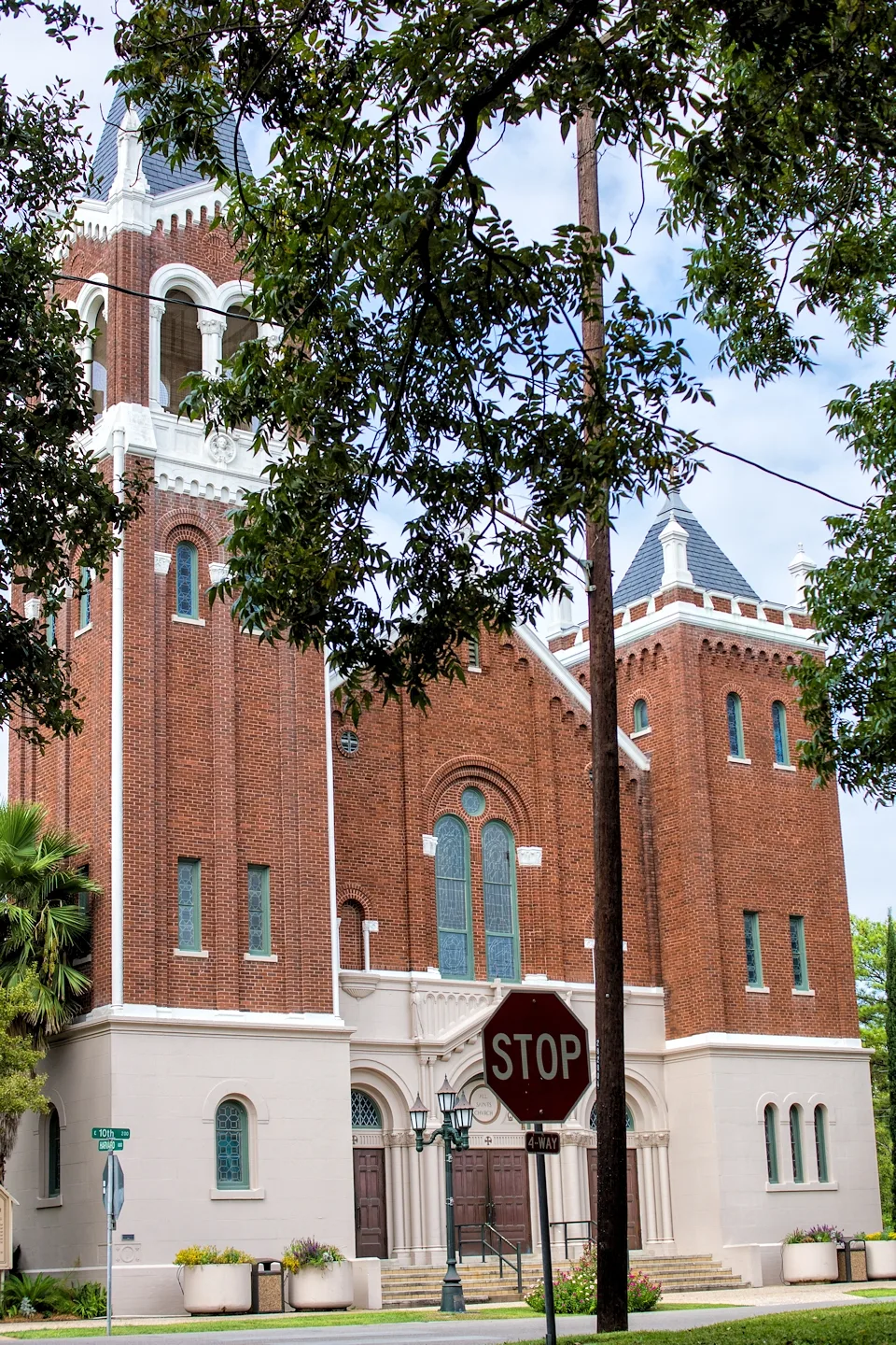
Cosmetics stores
Opticians
Dentist offices
Banks
Cafes
Restaurants
Convenience stores
Places of worship
Fast food restaurants
Clothing stores
Jewelry stores
Garden centers
Liquor stores
Streets nearby
East 10th StreetShokku Ramen, Maison Pucha Bistro
0.1 mi
East 8th Street0.1 mi
West 9th Street0.2 mi
Columbia Street0.2 mi
Heights BoulevardThe Boardroom, Salata, Clear Smiles, Barnaby's Cafe, Ideal Image, Heights Christian Church, The Houston Saengenbund, Arcadia, 3rd Generation Ink, Retreat Massage, The Monk's Kitchen, Water Tree, TJ's Smoke Shop, Subway
0.2 mi
Paul Carr Jogging TrailLombard Lamp
0.2 mi
West 8th Street0.2 mi
Oxford StreetJenni's Noodle House
0.2 mi
East 7th Street0.3 mi
East 11th StreetMetro Mart, Frost Bank, Buchanan's Native Plants, Starbucks, Three Dog Bakery
0.3 mi
West 7th StreetWarby Parker, Chubbies, Aesop, Postino
0.3 mi
Beverly StreetHeights Liquor
0.3 mi
Mosby Circle0.3 mi
Cortlandt StreetBudget, Shell
0.4 mi
Harvard StreetFirst Baptist Church Heights, Bonjour, Metro by T-Mobile, Star Pizza
0.4 mi
White Oak DriveTacos A Go Go, Christian’s Tailgate, Barnaby's Cafe, JuiceLand, Russo's New York Pizzeria, Memorial Eye
0.4 mi
East 8½ StreetNew Heights Coffee Roasters
0.4 mi
East 6½ Street0.5 mi
Frasier Street0.5 mi
Granberry Street0.5 mi
Bars nearby
Grace Pizza and Shakes0.5 mi
Buildings nearby
J H Clare House500 ft
Parish Office0.1 mi
Charles Roessler House0.2 mi
Moses A Clanton House0.2 mi
Meitzen House0.2 mi
James L Jensen House0.2 mi
John W Anderson House0.2 mi
Wimberly House0.3 mi
Isbell House0.4 mi
Andrews Law Office0.5 mi
Cafes nearby
Melange Creperie0.3 mi
Antidote Coffee0.5 mi
Clothing stores nearby
Lululemon0.3 mi
Convenience stores nearby
Woods Food Mart0.5 mi
Dry cleaners nearby
Wolfe's Cleaners0.4 mi
Fitness centers nearby
Citizen Pilates0.2 mi
Liquor stores nearby
Premium Draught0.4 mi
Parks nearby
Donovan Park0.2 mi
Trees For Houston - Promenade Tree Park0.3 mi
Pet grooming salons nearby
Heights Pet Grooming0.5 mi
Recreation grounds nearby
Harvard Park250 ft
Religious areas nearby
All Saints Catholic Church0.2 mi
Restaurants nearby
Cloud 10 Creamery0.3 mi
Coltivare Pizza & Garden0.4 mi
Good Dog Houston0.4 mi
Onion Creek0.4 mi
School buildings nearby
All Saints School0.2 mi
Single-family houses nearby
All Saints Rectory0.2 mi
 Public transit map Houston Legend
| Railway | |
| Bus | |
| Streetcar |
 Bicycle map Houston Legend
| Bike path | |
| Bike lane on roadway | |
| Cycling allowed on bus lane | |
| Bicycle street | |
| Open to cyclists | |
| Open to cyclists, good path | |
| Cycling prohibited | |
| Cobblestone |
| Long-distance bike route | (depending on scale) | |
| Long-distance bike route |
 Pedestrian map Houston Legend
| Path |
| Long-distance hiking trail | (depending on scale) | |
| Long-distance hiking trail | ||
| Pedestrians prohibited |