
North Clark Street in Burleson, Texas
North Clark Street in Burleson is a residential street. It runs in a north-south direction starting from North Dobson Street and crosses North Field Street, Higgins Street, East Tabb Street and East King Street and ends at East Renfro Street. Nearby there is a place of worship. North Clark Street also exists in Eastland County, Duval County and Rockwall County.
- Road Type
- residential street
- Route
- north-south
Image
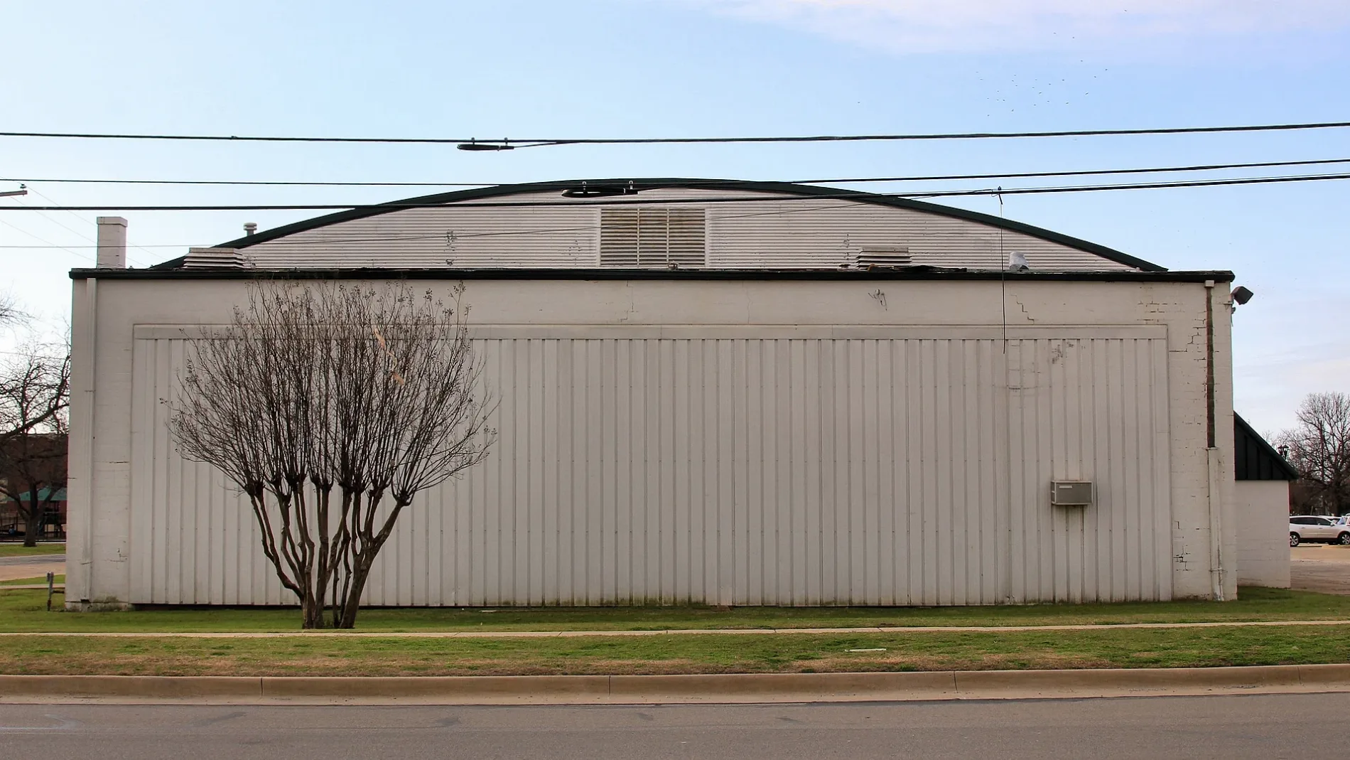
Places of worship
Streets nearby
North Dobson Street350 ft
East King Street400 ft
East Tabb Street450 ft
Higgins Street500 ft
Baker Street500 ft
North Lawson StreetOl' South Pancake House
0.1 mi
North Scott StreetThe Rim, Rio Mambo, Airrosti
0.1 mi
North Burleson BoulevardReece Plumbing Hvac
0.1 mi
North Main Street0.2 mi
South Clark Street0.2 mi
B & G Boulevard0.2 mi
West Renfro StreetOrthodontics by Birth and Fletcher, Best Value West Pharmacy, Murry Bakery
0.2 mi
South Burleson BoulevardSonic, Texas Best Smokehouse, Valero, 10 Federal Storage, White's Collision Repair, Palm Harbor Homes
0.2 mi
South Scott Street0.2 mi
Stampede Drive0.2 mi
West Ellison Street0.2 mi
North Rudd Street0.2 mi
North Field Street0.2 mi
East Ellison StreetCity Market, Burleson
0.2 mi
South Main StreetPandan Thai Street Eats, Fresco's Cocina Mexicana, Grump's Burgers, MeccaFox
0.2 mi
North Wilson Street0.2 mi
West King Street0.3 mi
East Bufford Street0.3 mi
Village Creek Parkway0.3 mi
Northwest Hillery StreetBest Massage
0.3 mi
East Renfro StreetFish City Grill, First Impressions, Stonehaven Dental & Orthodontics
0.3 mi
North Commerce Street0.4 mi
Wilshire Boulevard NEBurleson Bingo
0.4 mi
Northeast Wilshire Boulevard0.4 mi
Auto repair shops nearby
Team Hoover Automotive0.1 mi
Bartlett Auto Repair0.1 mi
Banks nearby
Wells Fargo0.3 mi
Beauty salons nearby
RDA Pro Mart0.2 mi
Car dealerships nearby
Burleson Nissan0.3 mi
Hiley Mazda of Burleson0.3 mi
Hiley Hyundai of Burleson0.3 mi
Convenience stores nearby
7-Eleven0.3 mi
Dentist's offices nearby
Dental Visions0.2 mi
Fast food restaurants nearby
Fuzzy's Taco Shop0.1 mi
Gas stations nearby
Mobil0.3 mi
Motorcycle shops nearby
Stampede Harley-Davidson0.2 mi
Parks nearby
Clark Park500 ft
Veterans Memorial Park0.2 mi
Places of worship nearby
BC Baptist Church0.2 mi
Restaurants nearby
Hard Eight Pit BBQ0.2 mi
Waffle House0.3 mi
Babe's Chicken0.3 mi
Secondhand stores nearby
Gypsy Trunk & Fabulous Junk0.1 mi
Tobacco shops nearby
Burleson Discount Tobacco550 ft
 Public transit map Burleson Legend
| Railway | |
| Bus | |
| Streetcar |
 Bicycle map Burleson Legend
| Bike path | |
| Bike lane on roadway | |
| Cycling allowed on bus lane | |
| Bicycle street | |
| Open to cyclists | |
| Open to cyclists, good path | |
| Cycling prohibited | |
| Cobblestone |
| Long-distance bike route | (depending on scale) | |
| Long-distance bike route |
 Pedestrian map Burleson Legend
| Path |
| Long-distance hiking trail | (depending on scale) | |
| Long-distance hiking trail | ||
| Pedestrians prohibited |