
East 16th Street in Dumas, Texas
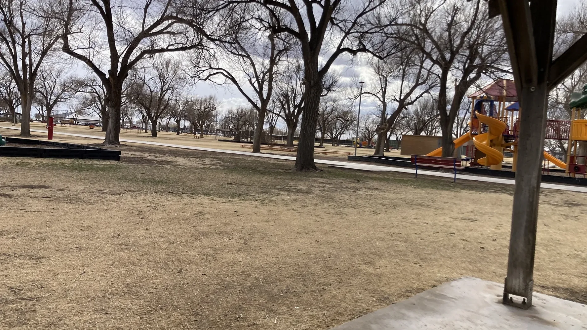
East 16th Street in Dumas is a two-lane, asphalted residential street. The street has no sidewalks. It runs in an east-west direction starting from West 16th Street and crosses South Dumas Avenue, South Bliss Avenue, South Meredith Avenue, Binkley Avenue and Durrett Avenue and ends at South Maddox Avenue. East 16th Street also exists in Travis County, Harris County, Fannin County, Medina County and Lamb County.
- Road Type
- residential street
- Lanes
- 2
- Speed Limit
- 30 mph
- Route
- east-west
Image
Laundries
Weighbridges
Restaurants
Beauty salons
Galleries
- The Art Center (opening hours: Mon–Sat 10–17, Web) at South Dumas Avenue 1810 (79029) – approx. 0.5 mi.
Places of worship
Antique stores
Fast food restaurants
Auto repair shops
Jewelry stores
Bakeries
Variety stores
Cell phone stores
Cafes
Vending machines
Sporting goods stores
Clinics
Clothing stores
Schools
Event venues
Streets nearby
Binkley Avenue500 ft
McDade Walkway0.2 mi
East 14th StreetCity of Dumas Fleet Maintenance Garage
0.2 mi
South Dumas AvenueSubway, Thai Siam, Lava You, Little Caesars, CAT Scale, The Plaza Restaurant & Bar, Verizon, Cash Store, Moore Life Thrift Shop, Macha Tacos Y Clamatos food truck, Babe. Boutique, Creative Edge Barbershop & Salon, La Espuela Boots, Premium Barbershop, Nelly's, Mejia's Used Furniture, Sparkle Jewelry And Gifts, Lao Sticky Rice food truck, Northside Cleaners, Vranoci Italian Cafe & Pizzeria
0.3 mi
East 17th Street0.3 mi
East 18th Street0.3 mi
West 14th StreetSunset Elementary School, 7 Brew
0.4 mi
West 16th Street0.4 mi
East 19th Street0.4 mi
West 18th Street0.4 mi
Buildings nearby
State Farm - Rick Avina0.2 mi
Allstate - Craig Riseling0.4 mi
Car dealerships nearby
Edwards Chrysler Dodge Jeep Inc0.3 mi
Pike Ford of Dumas0.4 mi
Convenience stores nearby
Bleezies0.3 mi
United Express0.3 mi
Dry cleaners nearby
Patty's Alterations & Cleaners0.2 mi
Fast food restaurants nearby
KFC0.3 mi
The Burger0.3 mi
Taco Bell0.3 mi
Golden Chick0.3 mi
McDonald's0.3 mi
Furniture stores nearby
Aaron's0.4 mi
Gas stations nearby
Valero0.3 mi
Hotels nearby
Red Roof Inn0.3 mi
Best Western Windsor Inn0.3 mi
Invision Inn Dumas0.3 mi
Quality Inn Dumas0.3 mi
Motels nearby
Econo Lodge Dumas0.3 mi
Super 8 by Wyndham Dumas0.4 mi
Office buildings nearby
Yerby's RV Park office0.1 mi
Parks nearby
McDade Park0.2 mi
Places of worship nearby
Southside Baptist Church0.3 mi
Residential areas nearby
Golden Heritage Apartments0.4 mi
Westover Apartments0.4 mi
Restaurants nearby
287 Roadhouse0.3 mi
Pizza Hut0.3 mi
Sazon0.3 mi
Big Country Cafe0.4 mi
Taqueria El Tapatio0.4 mi
Retail buildings nearby
Guylane Plaza Shopping Center0.3 mi
Rv parks nearby
Yerby's RV Park0.1 mi
Shelters nearby
Pavilion at McDade0.2 mi
Sports centers nearby
Dumas Aquatic Park0.2 mi
Sports fields nearby
Dumas Skate Park0.2 mi
Pioneer Park Baseball Field0.2 mi
Dumas Football Stadium0.2 mi
Supermarkets nearby
United Supermarkets0.4 mi
Tire dealers nearby
287 Tire Shop0.4 mi
 Public transit map Dumas Legend
| Railway | |
| Bus | |
| Streetcar |
 Bicycle map Dumas Legend
| Bike path | |
| Bike lane on roadway | |
| Cycling allowed on bus lane | |
| Bicycle street | |
| Open to cyclists | |
| Open to cyclists, good path | |
| Cycling prohibited | |
| Cobblestone |
| Long-distance bike route | (depending on scale) | |
| Long-distance bike route |
 Pedestrian map Dumas Legend
| Path |
| Long-distance hiking trail | (depending on scale) | |
| Long-distance hiking trail | ||
| Pedestrians prohibited |