
Hamblin Lane in Clearfield, Utah
Hamblin Lane in Clearfield is a service road and it runs in a southeast-northwest direction starting from Bushnell Way and crosses Weekes Way and ends at 200 South.
- Road Type
- service road
- Route
- southeast-northwest
Image
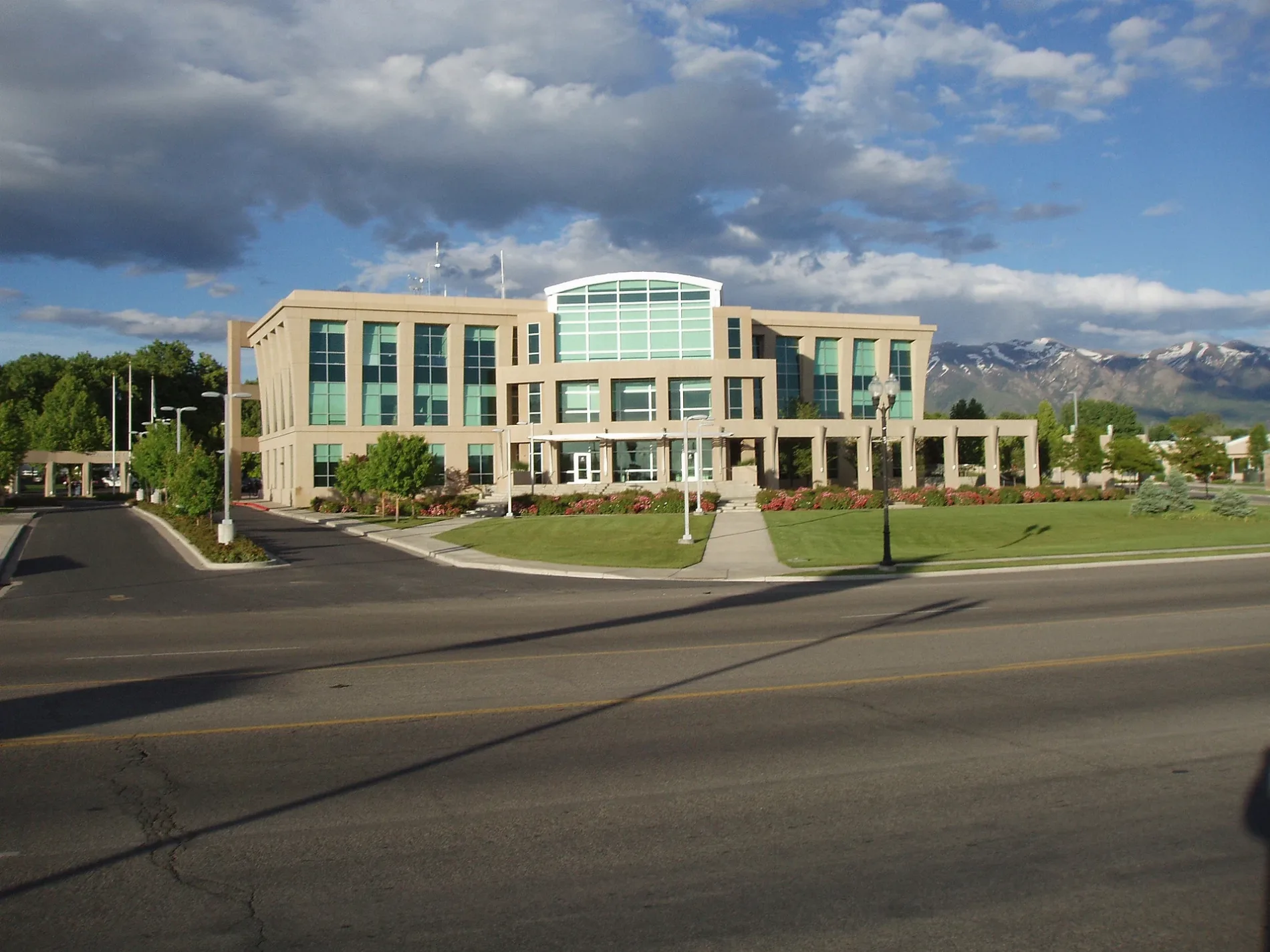
Places of worship
Town halls
Tire dealers
Furniture stores
Bus stops
Schools
Pubs
Restaurants
Auto repair shops
Dentist offices
Supermarkets
Streets nearby
200 SouthBogey's, Clearfield Community Church, Master AutoTech
150 ft
Bushnell Way250 ft
Weekes Way250 ft
Depot StreetRancho Markets #8, Mi Rancho, State St @ 22 S
0.1 mi
South Main StreetRB's One Stop
0.1 mi
350 South0.2 mi
Carter Lane0.2 mi
East 350 SouthWest Gate Addition
0.2 mi
South 275 East0.2 mi
State StreetState St @ 860 S, State St @ 712 S, State St @ 580 S, State St @ 595 S, State St @ 325 S, State St @ 448 S, State St @ 571 S, Victor's Tires & Custom Wheels, State St @ 1299 S, Main St @ 1338 S, King's Auto Repair, Boost Mobile, State St @ 1455 S, Sew N Save, State St @ 151 S (Clearfield), State St @ 226 S, State St @ 1139 S, State St @ 925 S
0.2 mi
Marilyn Drive0.2 mi
South Pacific AvenueAntelope School
0.2 mi
South 150 West0.2 mi
Center StreetClearfield, Wasatch Elementary School
0.2 mi
100 North0.3 mi
North Pacific Avenue0.3 mi
West 90 North0.4 mi
North 300 East0.4 mi
Willow Way0.4 mi
North Main StreetMain St @ 291 N, Clearfield Dental, Main St @ 30 N
0.4 mi
North 250 West0.4 mi
West 200 South0.4 mi
Lakeview DriveLakeview
0.4 mi
South 300 West0.4 mi
Hunters Hollow0.4 mi
Aspen Grove0.4 mi
North 300 West0.4 mi
Deer Creek0.4 mi
West 75 South0.4 mi
West 200 North0.4 mi
South 500 West0.4 mi
South 350 West0.4 mi
Whispering Pines0.4 mi
Baer Creek Drive0.4 mi
250 NorthThe Church of Jesus Christ of Latter-day Saints
0.5 mi
Apartment buildings nearby
Second State Apartments350 ft
Hart Apartments0.2 mi
Buildings nearby
Davis County Department of Health0.2 mi
Commercial buildings nearby
THUNDER TOWING LLC0.2 mi
Gas stations nearby
Steve and Walts0.4 mi
Hotels nearby
Charin Inn0.3 mi
Libraries nearby
Davis County Library Clearfield Branch0.2 mi
Parks nearby
D. Wayne and EuVola M. Thurnock Family Memorial Park0.4 mi
Train Watch Park0.5 mi
Post offices nearby
United States Post Office0.3 mi
Railways nearby
Union Pacific Railroad0.1 mi
Restaurants nearby
Pizza Hut0.2 mi
Betos0.5 mi
School buildings nearby
Wasatch Elementary School0.2 mi
Public transit map Clearfield Legend
| Railway | |
| Bus | |
| Streetcar |
Bicycle map Clearfield Legend
| Bike path | |
| Bike lane on roadway | |
| Cycling allowed on bus lane | |
| Bicycle street | |
| Open to cyclists | |
| Open to cyclists, good path | |
| Cycling prohibited | |
| Cobblestone |
| Long-distance bike route | (depending on scale) | |
| Long-distance bike route |
Pedestrian map Clearfield Legend
| Path |
| Long-distance hiking trail | (depending on scale) | |
| Long-distance hiking trail | ||
| Pedestrians prohibited |