
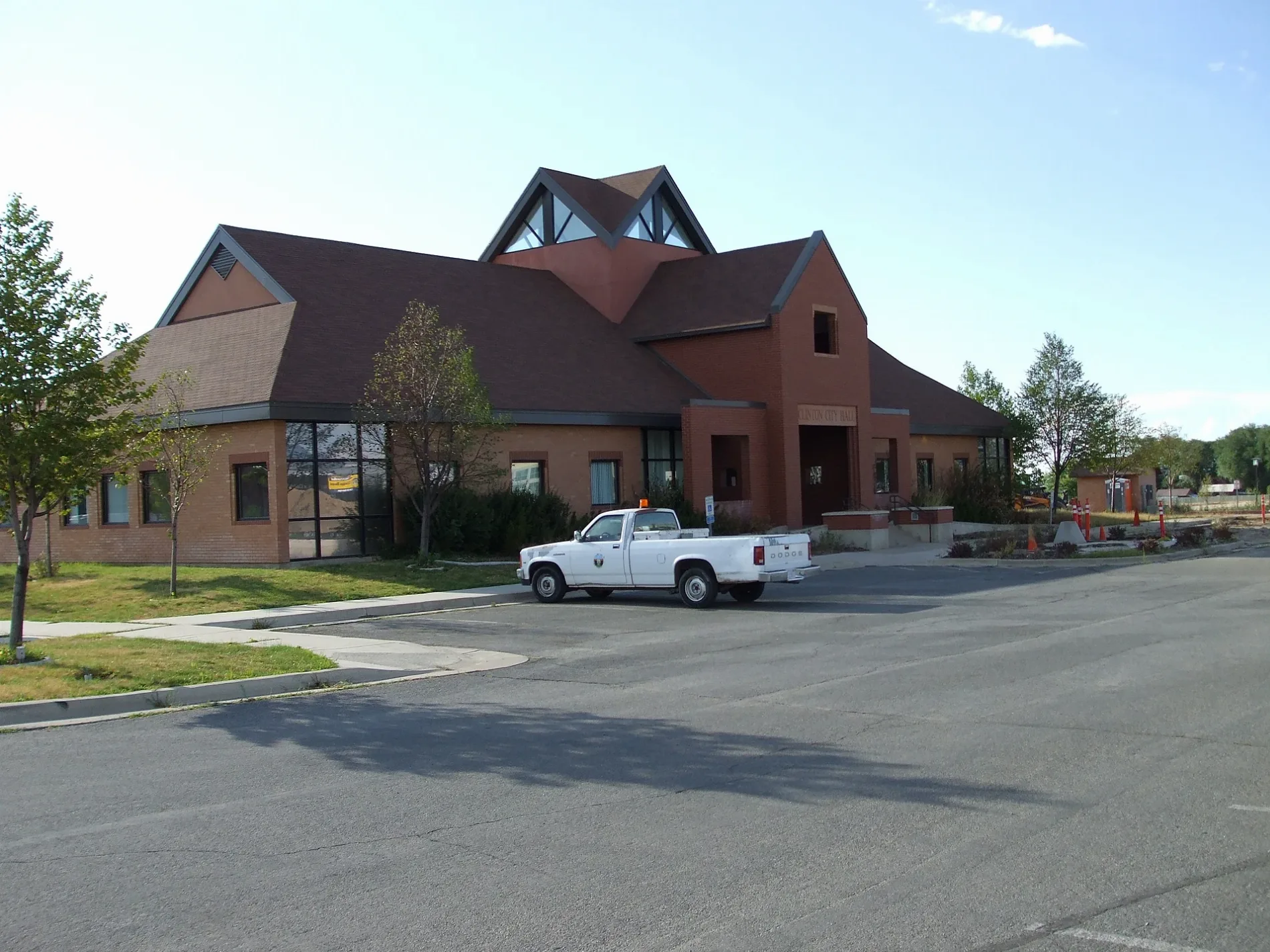
1630 North in Clinton, Utah
1630 North in Clinton is an asphalted residential street and runs in an east-west direction starting from North 2225 West and crosses North 2140 West and ends at North 2000 West. 1630 North also exists in Cache County, Iron County and Utah County.
- Road Type
- residential street
- Route
- east-west
Image
Dentist offices
Beauty salons
Ice cream shops
Restaurants
Fast food restaurants
Hair salons
Clinics
Video game stores
Cell phone stores
Bus stops
Car washes
Places of worship
Jewelry stores
Streets nearby
North 2030 West400 ft
North 2140 West550 ft
North 2090 West0.1 mi
North 1960 West0.2 mi
West 1570 North0.2 mi
North 2225 West0.2 mi
West 1800 NorthO'Reilly Auto Parts, The Church of Jesus Christ of Latter-day Saints, Fiiz Drinks, Country Pines Retirement Community, Supercuts, Jamba, Taco Time, Cold Stone Creamery, Verizon, Hungry Howie's, Cricket Wireless, Jade Nails, Sprint, Hibachi House, Maurices, Walgreens, Blue Rhino, Sport Clips, Swig, He Flys
0.2 mi
West 1680 NorthAl Vi Village, Deanetta
0.2 mi
West 1520 North0.2 mi
North 2000 WestCoombs Orthodontics, 2000 W @ 1275 N, 2000 W @ 1330 N, Stone Ridge Dental, Tanner Clinic - Westside, 2000 W @ 1539 N, 2000 W @ 1654 N, Quick Quack Car Wash, Jersey Mike's Subs, AT&T, Clinton Dental Group, Domino's, 2000 W @ 1830 N (Clinton), 2000 W @ 1877 N (Clinton), Jimmy John's, Papa Murphy's, Costa Vida, Ross, 2000 W @ 2201 N, 2000 W @ 2218 N, 2000 W @ 2664 N, Chipotle, Mo'Betahs, Dutch Brothers
0.2 mi
North 1900 West0.2 mi
North 2150 West0.2 mi
North 2275 West0.2 mi
North 2430 West0.3 mi
West 1740 North0.3 mi
West 1850 North0.3 mi
North 1750 WestGoodyear
0.3 mi
North 2095 West0.4 mi
North 2125 West0.4 mi
West 2000 North0.4 mi
North 2165 West0.4 mi
North 2195 West0.4 mi
Clinton Canal TrailPetco, Little Caesars
0.4 mi
Amenities nearby
Championship Martial Arts0.2 mi
Attractions nearby
Fat Cats0.3 mi
Auto parts stores nearby
AutoZone0.4 mi
Auto repair shops nearby
Grease Monkey0.2 mi
Jiffy Lube0.3 mi
Banks nearby
Golden West Credit Union450 ft
America First Credit Union0.1 mi
Bank of America0.2 mi
Mountain America Credit Union0.4 mi
Car washes nearby
Monkey Shine Car Wash0.2 mi
Commercial areas nearby
Clinton Plaza 20000.2 mi
Department stores nearby
Kohl's0.4 mi
Drugstores nearby
Walgreens0.2 mi
Fast food restaurants nearby
Panda Express100 ft
Taco Bell200 ft
Burger King0.1 mi
Zaxby's0.2 mi
Subway0.2 mi
McDonald's0.3 mi
Carl's Jr.0.3 mi
Wendy's0.3 mi
Arby's0.3 mi
Gas stations nearby
7-Eleven0.2 mi
Hardware stores nearby
Lowe's0.4 mi
Residential areas nearby
Clearfield Towne Condiminiums0.4 mi
Supermarkets nearby
Walmart Supercenter0.2 mi
Public transit map Clinton Legend
| Railway | |
| Bus | |
| Streetcar |
Bicycle map Clinton Legend
| Bike path | |
| Bike lane on roadway | |
| Cycling allowed on bus lane | |
| Bicycle street | |
| Open to cyclists | |
| Open to cyclists, good path | |
| Cycling prohibited | |
| Cobblestone |
| Long-distance bike route | (depending on scale) | |
| Long-distance bike route |
Pedestrian map Clinton Legend
| Path |
| Long-distance hiking trail | (depending on scale) | |
| Long-distance hiking trail | ||
| Pedestrians prohibited |