
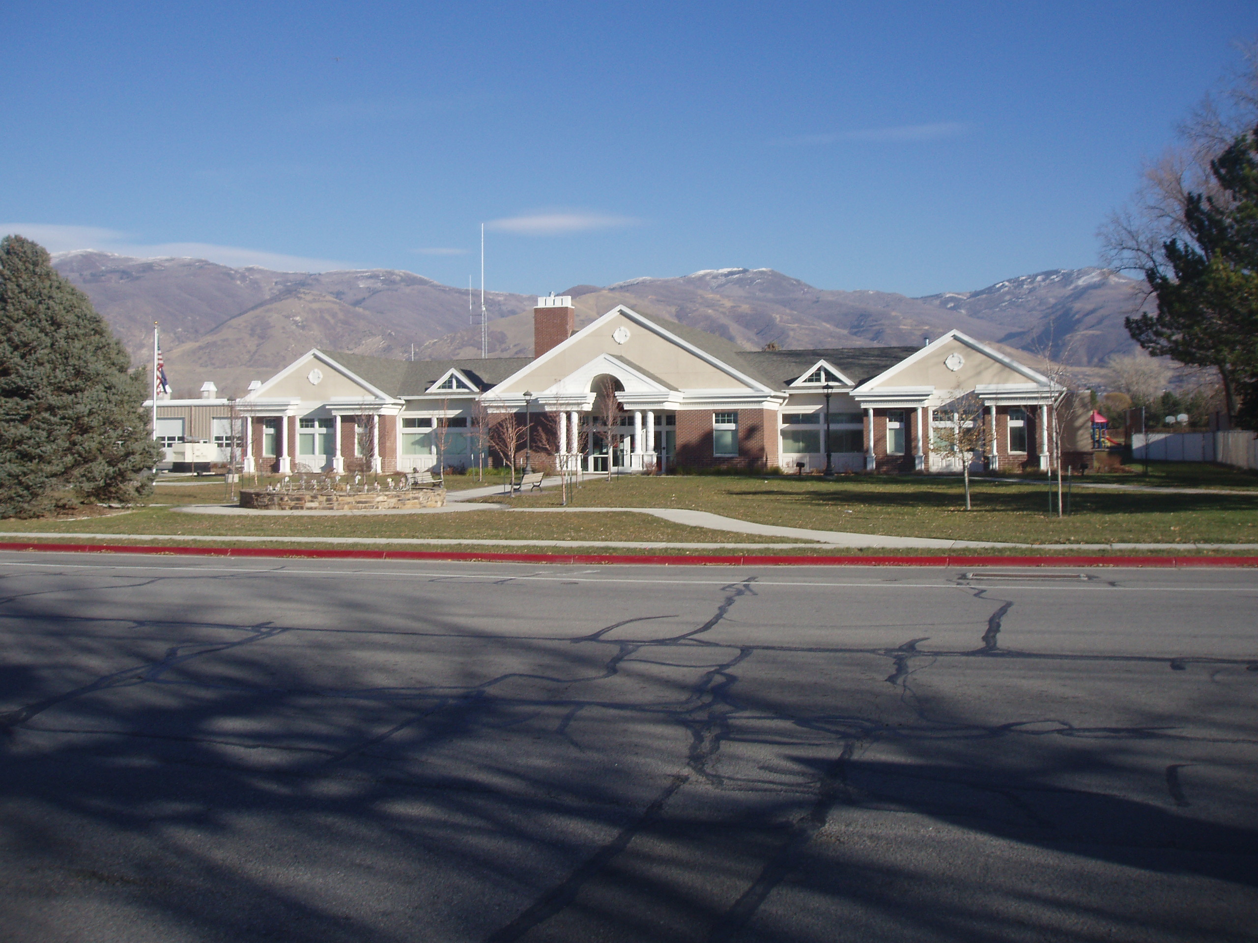
Eagle Ridge in Bountiful, Utah
Eagle Ridge in Bountiful is a residential area. Eagle Ridge also exists in Salt Lake County.
- Land Use
- residential area
Image
Restaurants
Bus stops
Studios
Farm stores
Beauty salons
Doctor's offices
Streets nearby
Gun Range RoadBountiful B
450 ft
Northridge Drive500 ft
East Skyline Drive North0.1 mi
Skyline Drive0.2 mi
700 North0.3 mi
Northern Hills Circle0.3 mi
Northern Hills Drive0.4 mi
1250 East0.4 mi
1200 East0.4 mi
1300 East0.4 mi
500 North0.4 mi
Bountiful Boulevard0.4 mi
1225 East0.4 mi
1150 East0.5 mi
Pheasant Ridge Circle0.5 mi
Old Ward Canyon Road0.5 mi
1100 East0.5 mi
600 North0.5 mi
Eagle Ridge Drive0.5 mi
Bountiful B Trail0.5 mi
250 North0.5 mi
400 NorthPlates and Palates
0.5 mi
1600 East0.5 mi
300 NorthMain St @ 301 N
0.5 mi
1575 East0.6 mi
50 North0.6 mi
1375 East0.6 mi
Center StreetBountiful, Book Garden, Zions Bank, Main St @ 1 N (Bountiful)
0.6 mi
Bonneville Shoreline Trail0.6 mi
Vineyard Circle0.7 mi
75 South0.7 mi
Briggs Drive0.7 mi
Viewcrest Drive0.7 mi
Seville Way0.7 mi
Viewcrest Circle0.8 mi
Vineyard Drive0.8 mi
Moss Hill Drive0.8 mi
Parks nearby
Tolman Park0.5 mi
Places of worship nearby
The Church of Jesus Christ of Latter-day Saints0.7 mi
Residential areas nearby
Quailbrook0.2 mi
Ellis Park0.4 mi
Eastwood Park0.4 mi
Howard Estates0.4 mi
Northern Hills0.4 mi
Pheasantridge Estates0.4 mi
Vineyard0.7 mi
Amby Briggs0.7 mi
Granada Hills0.7 mi
Sports fields nearby
Bountiful Lions Gun Range0.3 mi
Public transit map Bountiful Legend
| Railway | |
| Bus | |
| Streetcar |
Bicycle map Bountiful Legend
| Bike path | |
| Bike lane on roadway | |
| Cycling allowed on bus lane | |
| Bicycle street | |
| Open to cyclists | |
| Open to cyclists, good path | |
| Cycling prohibited | |
| Cobblestone |
| Long-distance bike route | (depending on scale) | |
| Long-distance bike route |
Pedestrian map Bountiful Legend
| Path |
| Long-distance hiking trail | (depending on scale) | |
| Long-distance hiking trail | ||
| Pedestrians prohibited |