
West John Street in Layton, Utah
West John Street in Layton is a residential street. It runs in an east-west direction starting from North 1980 West and crosses North Luke Street and ends at Matthew Drive. The nearest bus stop is Main St @ 1969 N (about 250 m away).
- Road Type
- residential street
- Route
- east-west
Image
Cell phone stores
Restaurants
Self storages
Computer stores
Gas stations
Clinics
Pharmacies
Bus stops
Fast food restaurants
Clothing stores
Tobacco shops
Shoe stores
Beauty salons
Convenience stores
Vending machines
Streets nearby
North Luke Street200 ft
West Ann Street350 ft
Cliffs Place450 ft
Matthew Drive450 ft
North Gregory Drive West0.1 mi
North 1980 West0.1 mi
North 1780 West0.1 mi
North Alfred Drive0.1 mi
West Gregory Drive0.1 mi
1750 West0.1 mi
North Gregory Drive0.1 mi
Gregory Drive0.1 mi
Ralph Street0.2 mi
Afton Circle0.2 mi
Clyde Street0.2 mi
Clara Street0.2 mi
Main StreetMain St @ 229 N, Main St @ 282 N, Main St @ 301 N, Ramblin Roads, Metro by T-Mobile, Woods Jewelry, All Natural Eyebrow Threading, Diamond Nails and Spa, Red Wing, Cold Stone Creamery, AT&T, Check Smart, Layton Smiles Dentistry, Main St @ 723 N, Main St @ 16 S, Redbox, Main St @ 2151 N (Layton), Main St @ 2070 N (Layton), Little Caesars, Smokeys Discount Cigarettes, Security Finance, X Zone Clothing, Layton Station (Bay B), Layton Station (Bay C), Layton Station (Bay A), Main St @ 780 N (Layton), Main St @ 736 S, Main St @ 968 S (Layton), Main St @ 891 S, Main St @ 836 S, That Place, Hugs, Main St @ 688 N (Layton), Main St @ 145 N, Hy & Mike's, Chesty's Auto Repair, Main St @ 570 N, Main St @ 515 N, Quick Emissions, Main St @ 1986 N (Layton), Main St @ 1580 N, Main St @ 1711 N, Main St @ 1591 N, Main St @ 1969 N, Louie's Pizza, Big Johnson's BBQ, Main St @ 1040 N, Main St @ 172 N, Jarocho's, el Máte, The Bark Spot, Main St @ 1164 N (Layton), Main St @ 1255 N, Main St @ 1125 N, GCB Computers, Eaton, Lucky Bamboo Tattoo and Gallery, Louie's Pizzeria, Main St @ 1045 N, 7-Eleven, Main St @ 1538 N, Main St @ 1380 N, Main St @ 1465 N, Shear Envy Salon, J&A Bakery, 1st Choice Money Lender
0.2 mi
Antelope DriveAntelope Dr @ 2025 W (Layton), Kid to Kid, Cloud 9 Smoke Shop, Speedway, Antelope Dr @ 2175 W, Antelope Dr @ 2190 W
0.2 mi
West 1620 North0.2 mi
Mark Street0.2 mi
Celia Way0.2 mi
North 1850 WestPark West Estates
0.3 mi
West 1850 NorthMeadowbrook Hollow
0.3 mi
Celia Circle0.3 mi
North Celia Way0.3 mi
James Drive0.3 mi
North 2200 West0.4 mi
James Circle0.4 mi
West Pale Moon Lane0.4 mi
Demetro Drive0.4 mi
1000 East1000 E @ 1410 S, Holly Haven I, Holly Haven II, 1000 E @ 1480 S, 1000 E @ 1599 S, 1000 E @ 1582 S, Tommy's Express Car Wash
0.4 mi
D&RGW Rail Trail0.4 mi
South 875 East0.4 mi
East Antelope DriveAntelope Dr @ 345 E, Antelope Dr / Demetro Dr (WB), Antelope Dr / Demetro Dr (EB), Antelope Dr / Chelemes Way, Antelope Dr @ 150 E, Antelope Dr @ 181 W
0.4 mi
East 2150 South0.4 mi
Sam Circle0.4 mi
Auto parts stores nearby
O'Reilly Auto Parts0.1 mi
Cafes nearby
Daily Rise Coffee Layton0.2 mi
Car dealerships nearby
Wasatch Rides0.1 mi
Convenience stores nearby
7-Eleven0.2 mi
Dry cleaners nearby
Red Hanger Cleaners0.2 mi
Fast food restaurants nearby
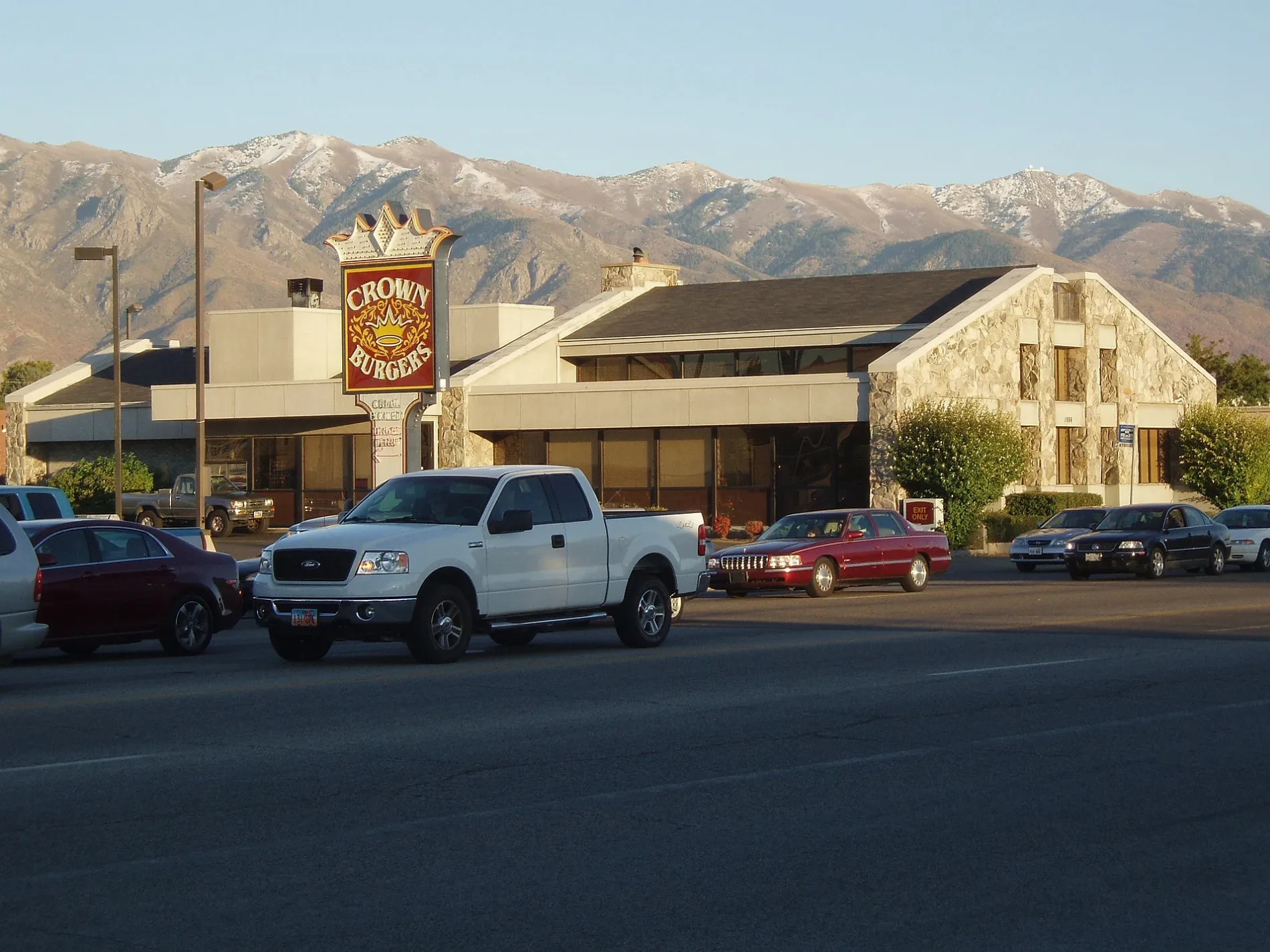
Crown Burger0.2 mi
Burger King0.3 mi
Port of Subs0.3 mi
Garage complexes nearby
EKF Custom0.1 mi
Gas stations nearby
Holiday Oil0.4 mi
Gun stores nearby
Tactical Penguin0.2 mi
Hair salons nearby
Hair Today Wig Salon & Supply0.2 mi
Paint stores nearby
Sherwin-Williams0.2 mi
 Public transit map Layton Legend
| Railway | |
| Bus | |
| Streetcar |
 Bicycle map Layton Legend
| Bike path | |
| Bike lane on roadway | |
| Cycling allowed on bus lane | |
| Bicycle street | |
| Open to cyclists | |
| Open to cyclists, good path | |
| Cycling prohibited | |
| Cobblestone |
| Long-distance bike route | (depending on scale) | |
| Long-distance bike route |
 Pedestrian map Layton Legend
| Path |
| Long-distance hiking trail | (depending on scale) | |
| Long-distance hiking trail | ||
| Pedestrians prohibited |