
Dome Peak Cutoff Trail in Duchesne County, Utah
Dome Peak Cutoff Trail in Duchesne County is an unpaved path. It runs in a northeast-southwest direction and ends in a cul-de-sac.
- Road Type
- path
- Route
- northeast-southwest
Image
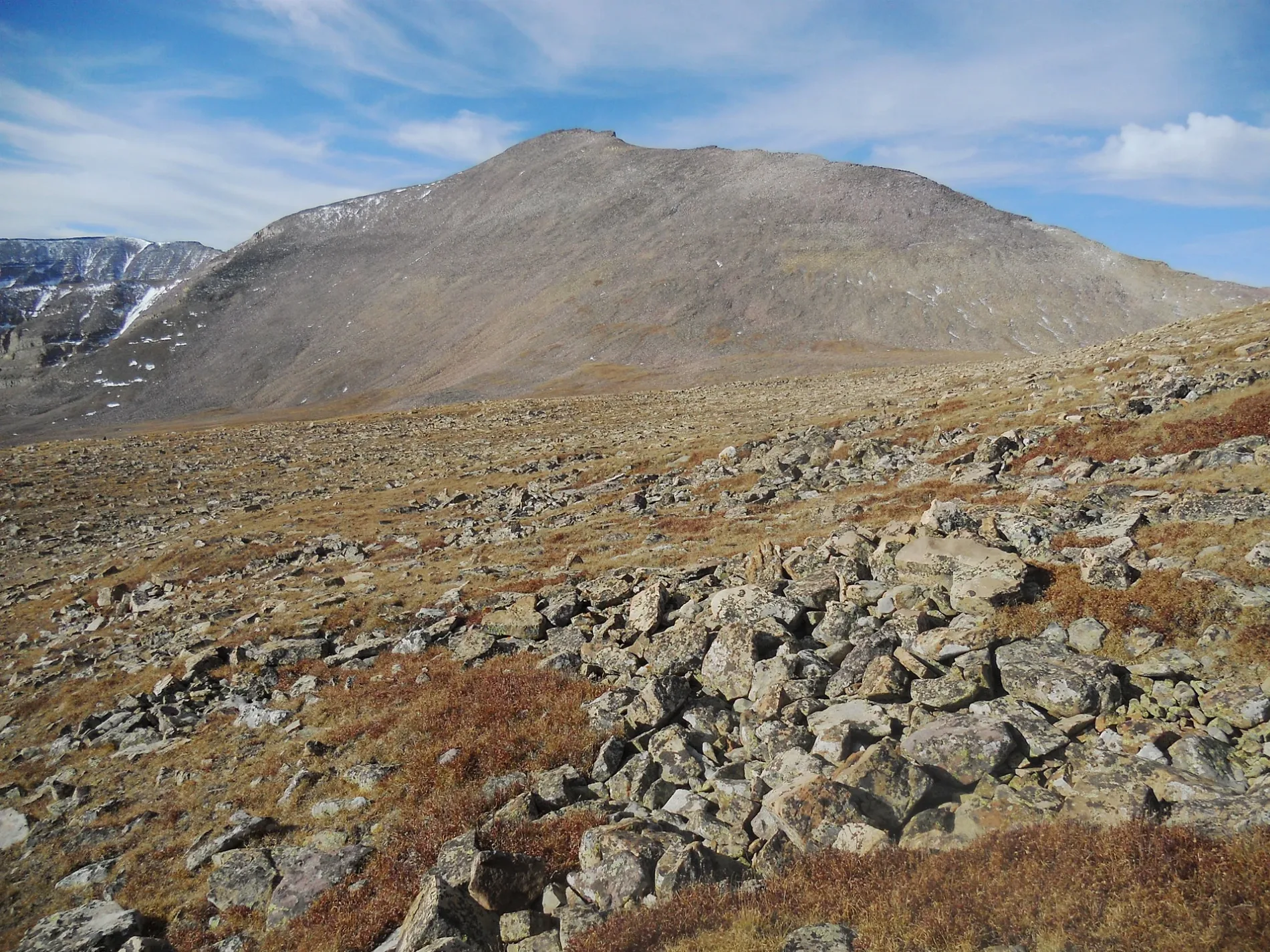
Streets nearby
Gunsight Trail0.4 mi
Gunsight Cutoff0.5 mi
Kings Peak Trail1.1 mi
Henry's Fork TrailHenrys Fork Trailhead
1.7 mi
Henry's Fork Basin Trail3.0 mi
Smiths Fork Pass Trail4.1 mi
Dams nearby
Lake Atwood Dam4.5 mi
Milk Lake Dam5.1 mi
Screes nearby
The Toilet Bowl0.6 mi
Streams nearby
Gilbert Creek2.1 mi
Henrys Fork2.4 mi
Yellowstone Creek3.3 mi
Center Fork Gilbert Creek3.9 mi
North Fork Gilbert Creek4.2 mi
Milk Creek4.7 mi
Waters nearby
U-761.3 mi
U-811.5 mi
U-801.9 mi
U-752.1 mi
Cliff Lake2.5 mi
Dollar Lake2.6 mi
Henrys Fork Lake2.7 mi
Y-232.7 mi
Lake Blanchard2.7 mi
U-832.7 mi
U-742.8 mi
Lake George Beard2.9 mi
Milk Lake3.0 mi
Grass Lake3.0 mi
Kings Lake3.0 mi
U-223.1 mi
Castle Lake3.3 mi
U-193.4 mi
U-793.8 mi
Gilbert Lake4.2 mi
Roberts Lake4.2 mi
Y-244.3 mi
Sawmill Lake4.3 mi
Bear Lake4.3 mi
Smiths Fork Pass Lake4.5 mi
Upper Carrol Lake4.6 mi
U-934.7 mi
Allen Lake4.7 mi
Y-194.8 mi
Allred Lake4.8 mi
East Carrol Lake4.9 mi
Y-205.1 mi
Lower Carrol Lake5.1 mi
West Timothy Lake5.1 mi
 Public transit map Duchesne County Legend
| Railway | |
| Bus | |
| Streetcar |
 Bicycle map Duchesne County Legend
| Bike path | |
| Bike lane on roadway | |
| Cycling allowed on bus lane | |
| Bicycle street | |
| Open to cyclists | |
| Open to cyclists, good path | |
| Cycling prohibited | |
| Cobblestone |
| Long-distance bike route | (depending on scale) | |
| Long-distance bike route |
 Pedestrian map Duchesne County Legend
| Path |
| Long-distance hiking trail | (depending on scale) | |
| Long-distance hiking trail | ||
| Pedestrians prohibited |