
Bryce Canyon Airport in Bryce, UT 84764
Bryce Canyon Airport in Bryce, UT 84764 (Garfield County) is an airfield (IATA: BCE, ICAO: KBCE). Bryce Canyon Airport is also known as BCE. Ⓦ.
- Operator
- Garfield County
Image
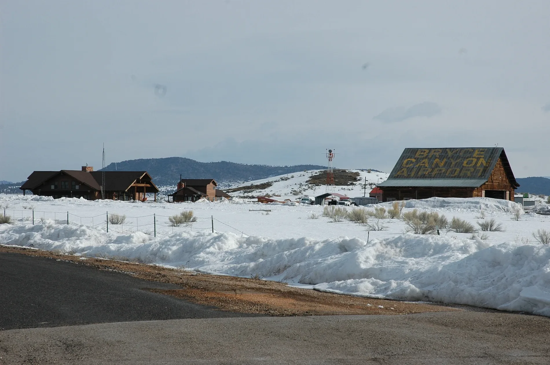
Streets nearby
Flake Mountain Road0.5 mi
Airport Road0.9 mi
Tropic Junction1.2 mi
North 100 West1.3 mi
Flake Swale Road1.5 mi
John's Valley RoadOsiris, Widtsoe Junction
1.5 mi
West 795 North1.5 mi
West 405 North2.0 mi
Ruesch Lane2.0 mi
Rodeo Road2.3 mi
120 North2.4 mi
200 East2.4 mi
100 North2.4 mi
300 East2.4 mi
70 North2.4 mi
220 East2.4 mi
50 North2.4 mi
Escalante View DriveBryce View Lodge - Building #3
2.4 mi
Homestead Drive2.4 mi
320 East2.4 mi
Tourist Rest Drive2.4 mi
240 East2.5 mi
40 North2.5 mi
260 East2.5 mi
75/85 North2.5 mi
280 East2.5 mi
Ridge View Drive2.5 mi
Grandview DriveBryce View Lodge Motel Office, Best Western / Grand
2.5 mi
North Main StreetBryce Canyon City
2.5 mi
West 100 North2.5 mi
105 EastBryce View Lodge - Building #2
2.5 mi
30 North2.5 mi
Old Bryce TownMountain Mercantile: Souvenirs & Keepsakes, Bryce Canyon Rock Shop
2.5 mi
Center StreetBryce View Lodge - Building #4, Ruby's Inn General Store
2.6 mi
Lake View Drive2.6 mi
Bob Syrett Drive2.6 mi
Attractions nearby
Ruby's Inn Horseback Riding2.5 mi
Ditches nearby
Historic Tropic Ditch Remnant2.4 mi
Fast food restaurants nearby
Subway1.3 mi
Hotels nearby
Bryce Canyon Resort1.3 mi
Best Western Plus Ruby's Inn2.5 mi
Antelope Lodge2.6 mi
Parks nearby
Bryce Canyon City Park2.4 mi
Places of worship nearby
Saint Dominic Catholic Mission1.4 mi
Restaurants nearby
Canyon Diner2.5 mi
Ebenezer's Barn and Grill2.6 mi
Sports fields nearby
Bryce Canyon City Park Junior Basketball Courts2.4 mi
Streams nearby
Shinglemill Swale2.6 mi
Other nearby
Bryce Substation2.4 mi
| Elevation | 2313 m |
|---|---|
| Heritage designation | National Register of Historic Places listed place |
| Located in | Garfield County |
| Country | United States |
 Public transit map Garfield County Legend
| Railway | |
| Bus | |
| Streetcar |
 Bicycle map Garfield County Legend
| Bike path | |
| Bike lane on roadway | |
| Cycling allowed on bus lane | |
| Bicycle street | |
| Open to cyclists | |
| Open to cyclists, good path | |
| Cycling prohibited | |
| Cobblestone |
| Long-distance bike route | (depending on scale) | |
| Long-distance bike route |
 Pedestrian map Garfield County Legend
| Path |
| Long-distance hiking trail | (depending on scale) | |
| Long-distance hiking trail | ||
| Pedestrians prohibited |