
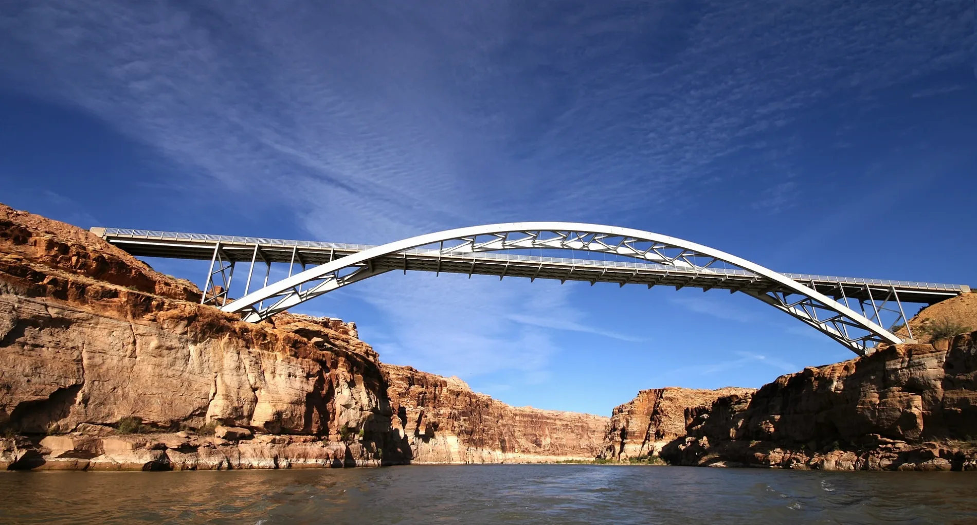
Hite Crossing Bridge in Garfield County, Utah
Hite Crossing Bridge in Garfield County is a two-lane, asphalted secondary road. It runs in a southeast-northwest direction and ends in a cul-de-sac. This street is part of the highway "95" as well as the Bicycle route "US:US 70" as well as the Hiking trail "ADT - Utah - R - Seg 3". Ⓦ.
- Road Type
- secondary road
- Lanes
- 2
- Route
- southeast-northwest
Image
Streets nearby
Hite Marina Access RoadHite Marina, Potable water tap near RV dump and fish cleaning station
1.3 mi
Fortknocker Canyon RoadDucket Crossing
3.6 mi
White Canyon North Road4.6 mi
Bare rocks nearby
Middle Finger Spire4.4 mi
Campgrounds nearby
Hite Marina Campground1.7 mi
Convenience stores nearby
Hite Outpost (Outfitter and Adventure Center)1.3 mi
Ranger stations nearby
Glen Canyon NRA Hite Ranger Station1.9 mi
Rivers nearby
Dirty Devil River1.2 mi
Colorado River1.9 mi
White Canyon5.7 mi
Streams nearby
Farley Canyon3.3 mi
Alcove Amble3.5 mi
Bushwhack Boogie3.9 mi
Rock Canyon4.3 mi
Other nearby
Hite Airport0.3 mi
Hite Airstrip0.3 mi
Brown's Rim Airstrip4.7 mi
| Year built | 1966 |
|---|---|
| Official opening | 1966 |
| Protected area | Glen Canyon National Recreation Area |
| Located in | Garfield County, San Juan County |
| Country | United States |
| Crosses | Colorado River |
| Carries thoroughfare | Utah State Route 95 |
| Location | Hite Crossing |
 Public transit map Garfield County Legend
 | Railway | |
| Bus | |
| Streetcar |
 Bicycle map Garfield County Legend
 | Bike path | |
| Bike lane on roadway | |
| Cycling allowed on bus lane | |
| Bicycle street | |
| Open to cyclists | |
| Open to cyclists, good path | |
| Cycling prohibited | |
| Cobblestone |
| Long-distance bike route | (depending on scale) | |
| Long-distance bike route |
 Pedestrian map Garfield County Legend
 | Path |
| Long-distance hiking trail | (depending on scale) | |
| Long-distance hiking trail | ||
| Pedestrians prohibited |