
Salt Lake City
Salt Lake City is located in Salt Lake County. About 199,723 people live here (as of 2020). Between 2010 and 2020, the population grew from 186,440 to 199,723. The region is at 1288 meters above sea level. The area covers about 289.3 square kilometers. The region is divided into 1 Municipalities and 20 Subregions. The region was founded in 1847. The ZIP codes are 84101–84199. The dialing code is 801. The name originates from Great Salt Lake (salt lake) Salt Lake City is capital city of the U.S. state of Utah and seat of Salt Lake County.
Salt Lake City – Facts
| Population | 199723 |
|---|---|
| Area | 289.3 km² |
| Subregions | 21 |
| Named after | Great Salt Lake |
| Year built | 1847 |
| Elevation | 1288 m |
| Located in | Salt Lake County |
| Postal code | 84101 |
| Country | United States |
| Native name | Salt Lake City |
| Official name | Salt Lake City |
| Described by | Brockhaus and Efron Encyclopedic Dictionary, The Nuttall Encyclopædia, Small Brockhaus and Efron Encyclopedic Dictionary, Encyclopædia Britannica 11th edition, The American Cyclopædia, Collier's New Encyclopedia, 1921, Encyclopædia Britannica Ninth Edition, The New Student's Reference Work, New International Encyclopedia, Meyer’s Universum, Achtzehnter Band |
Data source: Wikidata (CC0)
Photos from Salt Lake City
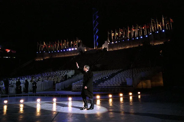
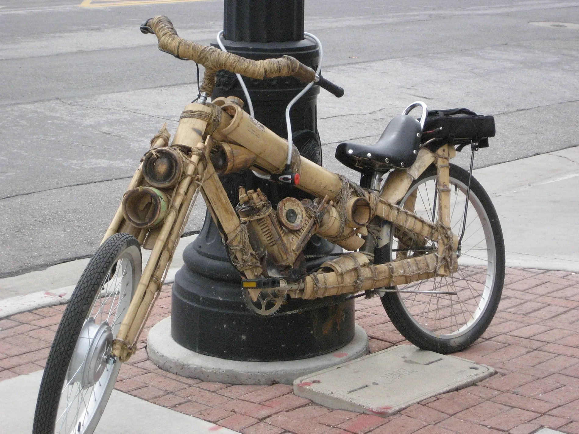
Municipalities and Neighborhoods in Salt Lake City
Streets in Salt Lake City
Streets
Mario Capecchi Drive
Mario Capecchi Drive / Research Road (Southbound), Mario Capecchi Drive / South Campus Drive (Southbound), University Medical Center, University Medical Center Station (Southbound), University Medical Center Station (Northbound), Madsen Health Center, Fort Douglas, Honors Market, Mario Capecchi Drive / South Campus Drive (Northbound), Mario Capecchi Drive / North Campus Drive (Northbound), Mario Capecchi Drive / 1900 East (Northbound)
Central Campus DriveUnion, Einstein Bros. Bagels, West Gold Medal Mile Route, U Warnock Engineering Building (Northbound), U Warnock Engineering Building (Southbound), Merrill Engineering Northbound, Merrill Engineering Southbound, U Union Building (Bay D), U Union Building (Bay B), U Union Building (Bay C), U Union Building (Bay A), Ute Brave
2100 EastFoothill Drive / Michigan Avenue (Northbound), 2100 East / Bryan Avenue (Southbound), 2100 East / St. Mary's Drive (Southbound), 2100 East / Bryan Avenue (Northbound), 2100 East / St. Mary's Drive (Northbound, Every Blooming Thing, Image Studios, Garden View Dental, 2100 East / Laird Avenue (Northbound), 2100 East / 1700 South (Southbound), 2100 East / 1700 South (Northbound), 2100 East / Laird Avenue (Southbound), Red Butte Veterinary Care, Steur & Friends Salon, Paw Paws, Eves & Sons Barbers, Found N Kept
South Campus DriveU Social Work Building (WB), Huntsman Basketball Facility, U South Campus Station (WB), U Social Work Building (EB), University South Campus, U Museum of Fine Arts (WB), South Campus, Swoop, U South Campus Station (EB), The Meldrum Theatre, Directory - South Canpus, U Museum of Fine Arts (EB)
Sunnyside AvenueThe Beastro, African Elephants, White Rhinos, Lions mouth fountain, Polar Bear, Harbor Seals & Sea Lions, Marble Seal, Otter, Sunnyside Avenue @ 2134 East, University Village West (EB), University Village West (WB), West Village 1, Spruce Community Center, West Village 2, West Village 3
South TempleThe Garden Restaurant, The Lion House Pantry, Temple Square, South Temple / 150 West (WB), Arena, South Temple / 350 West (WB)
Wakara WayWakara Way / Chipeta Way (WB), Building 420, Wakara Way / Komas Drive (WB), Knickerbockers Deli, Bright Horizon's, Wakara Way / 400 South (EB), Wakara Way / Komas Drive (EB), Wakara Way / Arapeen Drive (EB), Wakara Way / Arapeen Drive (WB), Ortho, Wakara Way / 400 South (WB), Wakara Way / Chipeta Drive (EB)
Foothill DriveFoothill Drive / VA Building 2 (EB), Foothill Drive / 2100 East, Foothill Drive @ 1445 South, Foothill Drive @ 1325 South, Five Alls, Foothill Drive @ 1458 South, Foothill Drive / Mario Capecchi Drive (Southbound), Foothill Drive / Wakara Way (NB), Foothill Drive / Wakara Way (Southbound), Foothill Drive / Sunnyside Avenue (Southbound), Foothill Drive @ 1520 South, Foothill Drive @ 1250 South
2200 EastSports Den, Utah Home Fitness, Chico's, SJ2, T-Mobile, Aline Boutique, Babinski's Baby, Shake Shack, Gold 'N Diamonds, Paddywax, Studio Salon
Floral WalkA New Look at Tradition, Fragrance Garden, Rainbird, Making a Mess, Deer, In Pursuit of Perfection, Cottam's Oaks, Herb Garden, ChargePoint
Campus Center DriveU Hungry Cafe, Arts and Education, Utah Museum of Fine Arts, Rex, Campus Bike Shop, The Museum Cafe, Spin, Museum Shop, Business Loop
Arapeen DriveSalt Lake City Fire Station Number 10, Arapeen Drive / Sunnyside Avenue (NB), Arapeen Drive / Komas Drive (NB), Arapeen Drive / Chipeta Way (NB), Imaging & Neurosciences, Java Bytes, Arapeen Drive / Komas Drive (SB), University Village East (SB), Arapeen Drive / 800 South (SB)
Chipeta WaySubway, Chipeta Way / 450 South (NB), Chipeta Way / Colorow Way (NB), Chipeta Way / Tabby Ln (NB), Chipeta Way / 450 South (SB), Chipeta Way / Tabby Ln (SB), Chipeta Way / Colorow Way (SB), Chipeta
Red Butte Canyon RoadRed Butte Garden Amphitheater, The Rose Family, Wildlife Habitat, Welcome to the World of Ornamental Grasses, Lot 75, Moose
Guardsman WayGuardsman Way / 600 South (NB), Guardsman, Guardsman Way / 500 South (SB), Guardsman Way / 600 South (SB), Guardsman Way / Sunnyside Avenue (SB), Guardsman Way / 700 South (NB)
1900 EastUniversity Hospital Free Valet Parking, University Hospital, North Medical Garage Visitor Entrance
1500 EastUTECH, Starbucks, Canyon View Credit Union, Block U, Union Food Court
North TempleNorth Temple / 300 West (EB), North Temple / Main Street (EB), North Temple / 150 West (EB)
North Temple StreetNorth Temple / 400 West (EB), North Temple Bridge/Guadalupe
Circle of Hope DriveHuntsman Cancer Institute, HCI Research North, Starbucks
West TempleWest Temple / North Temple (SB), West Temple & South Temple (NB)
400 WestThe Depot, Fidelity Station at The Gateway, Asher Adams, No. 119
Hempstead RoadPost Theater, Fort Douglas North, Fort Douglas South, Fort Douglas
Wasatch DriveWasatch Drive / Exploration Way (NB), Biotechnology Building, McCarthey Field
Foothill Dr. TrailMario Capecchi Drive / Pollock Road (Northbound), Mario Capecchi Drive / Research Road (Northbound), East Village 3
Medical Drive EastShoreline East, HCI Research North, HCI Research South
Komas DriveKomas Dr @ 542 S, Komas Drive @ 650 South, Komas Drive @ 542 South
HPER PathShakeSmart, UFirst Credit Union, City Edge Cafe
2300 EastWashington Federal, Kumon, Foothill Orthodontic Specialists
Presidents CircleKingsbury, Park, Two Creek Coffee House
Bonneville Shoreline Trail - Mount Wire SectionPeach Grove Trailhead, This is the Place, The Canyon Cafe, Natural History Museum
Rio Grande StreetDreamscapes, Flanker
Fort Douglas BoulevardUniversity Guest House & Conference Center, Guest House Southbound
Student Life WayOutdoor Adventures, University Of Utah Gymnastics
500 South500 South / VA Hospital (WB), 500 South / VA Hospital (EB)
North Campus DriveNorth Campus Drive / Federal Heights Drive (Eastbound), U Kennecott Building (WB)
PlazaCarolyn's Pantry, Spin
Lewis StreetChapel Glen, Heritage
Medical Drive SouthEmma Eccles Jones, HSEB
1300 SouthKatie Waltman Boutique, CREMA
100 SouthU Kennecott Building (EB)
Medical Drive NorthHuntsman Cancer Hospital, Huntsman Hospital
Foothill Drive TrailFoothill Drive / Sunnyside Avenue (Northbound)
50 NorthBorboleta
Bennion BoulevardVeterans Hospital
Sherman AvenueSlice House
Six Bridges TrailSecret Wayside
Georges Hollow TrailLiving Room
Officers CircleMuseum
George S. Eccles 2002 Legacy BridgeLegacy Bridge
Roosevelt AvenueEast-West Connection
1452 EastTwo Creek Coffee House
300 West300 West / South Temple (NB)
Jōb's CrossingU Kennecott Building (WB)
State StreetState Street / 1st Avenue (SB)
Connor RoadBenchmark Computer Lab
City Creek - Rudy's Connector Trail23 - North Fork
2030 EastMedical Towers
2000 EastThe England Hub
Tanner PlazaCrimson View
Bee ObservationBrio Coffee
Stover StreetThe Hive Pizzeria
USTAR pathUrban Pioneer Cafe
Arapeen Connector TrailWakara Bar
Canyon RoadMemory Grove Park Entrance, Zucker Fountain
Yuma Street
Pollock Road
1700 SouthPost offices
 Public transit map Salt Lake City Legend
| Railway | |
| Bus | |
| Streetcar |
 Bicycle map Salt Lake City Legend
| Bike path | |
| Bike lane on roadway | |
| Cycling allowed on bus lane | |
| Bicycle street | |
| Open to cyclists | |
| Open to cyclists, good path | |
| Cycling prohibited | |
| Cobblestone |
| Long-distance bike route | (depending on scale) | |
| Long-distance bike route |
 Pedestrian map Salt Lake City Legend
| Path |
| Long-distance hiking trail | (depending on scale) | |
| Long-distance hiking trail | ||
| Pedestrians prohibited |