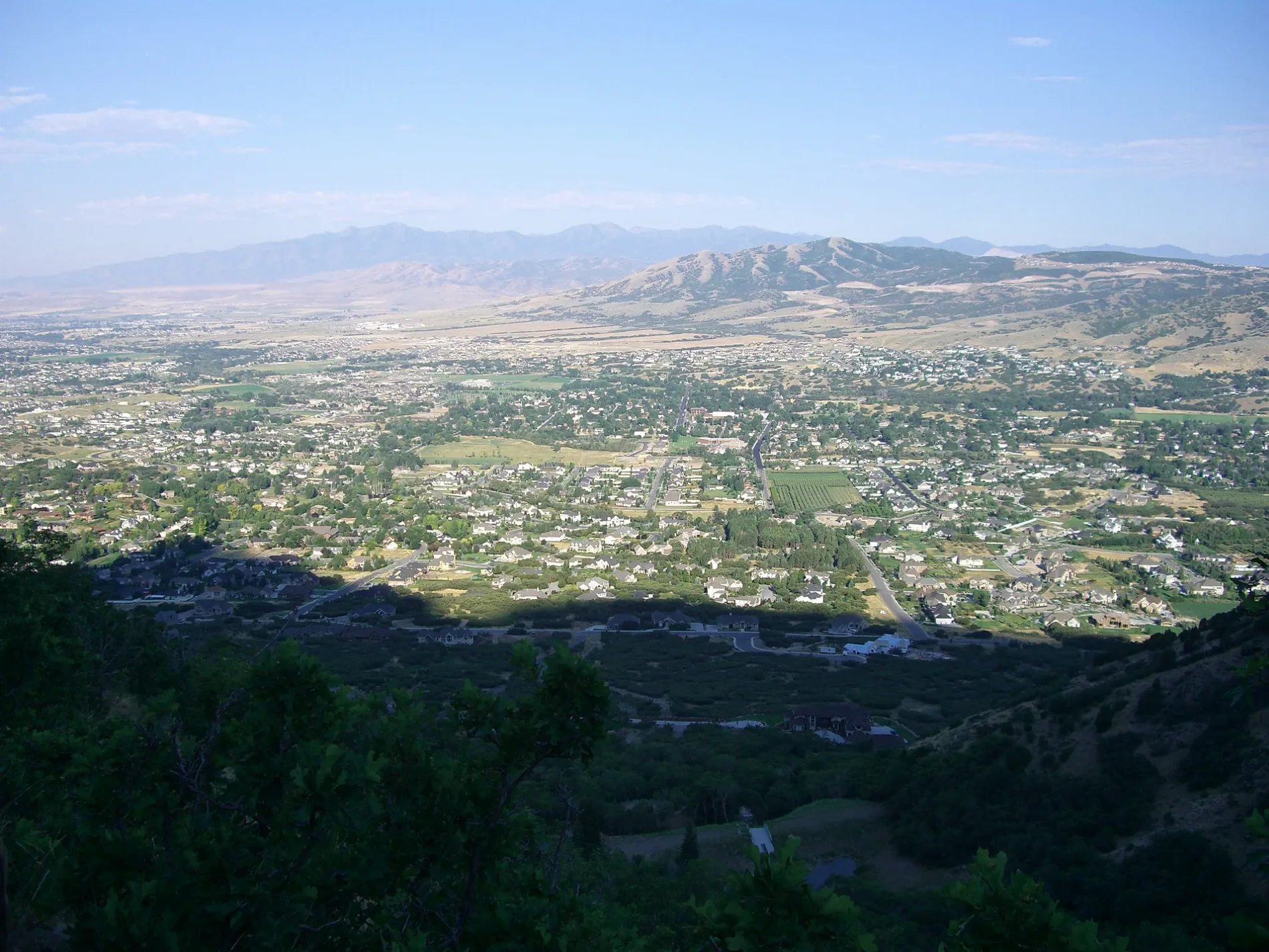
Overlooking Alpine, Utah, USA.View due west, from region of Utah State Route 92 (Wasatch Range)(aerial photo). The en:Oquirrh Mountains are on horizon; the en:Traverse Mountains are right. (intervening peak is South Mountain, 6829 ft (DeLorme Atlas, Utah), west of city-centers and north flowing en:Jordan River (Utah), from Utah Lake.) – Original uploader was Manderson164 at en.wikipedia, Public domain – Wikimedia Commons Alpine is located in Utah County. About 10,251 people live here (as of 2020). Between 2010 and 2020, the population grew from 9,555 to 10,251. The region is at 1509 meters above sea level. The area covers about 19.4 square kilometers. There are about 595 streets in Alpine. The region was founded in 1850. The postal codes are 84004. The dialing code is 801. Alpine is city in Utah County, Utah, United States. Among other things, Alpine has cafés and doctors. More information at www.alpinecity.org.


 Public transit map Alpine Legend
  Bicycle map Alpine Legend
  Pedestrian map Alpine Legend