
Vermont

Vermont
This page is the City map of Vermont, a map with streets, paths and places in the United States. Vermont covers approximately 24,923 square kilometres and had about 643,077 inhabitants in 2020, compared with 625,741 in 2010. The state was founded in 1791 and is located between New York, New Hampshire, Massachusetts and the Canadian province of Quebec. The Green Mountains extend through the centre of Vermont, while Lake Champlain forms much of the western border. Four long-distance cycling routes are documented in Vermont, including the Champlain Bikeway, also called Route Champlain, and the VTXL.
Bennington County

Bennington County is a county in southwestern Vermont with approximately 37,347 inhabitants and an area of about 1,755 square kilometres. The county was established in 1777, making it one of Vermont’s earliest counties.
The main population centres include Bennington and Manchester. Bennington is known for the 93-metre Bennington Battle Monument, which commemorates the Battle of Bennington during the American Revolutionary War in 1777.
To the mapWindham County

Windham County lies in southeastern Vermont and covers approximately 2,067 square kilometres. About 45,905 people live in the county, whose governmental organization dates to 1781.
Brattleboro is the largest town in the county and lies on the Connecticut River near the Massachusetts border. The West River flows through the county, while Mount Snow near Dover is a prominent mountain and winter recreation area.
To the mapWindsor County
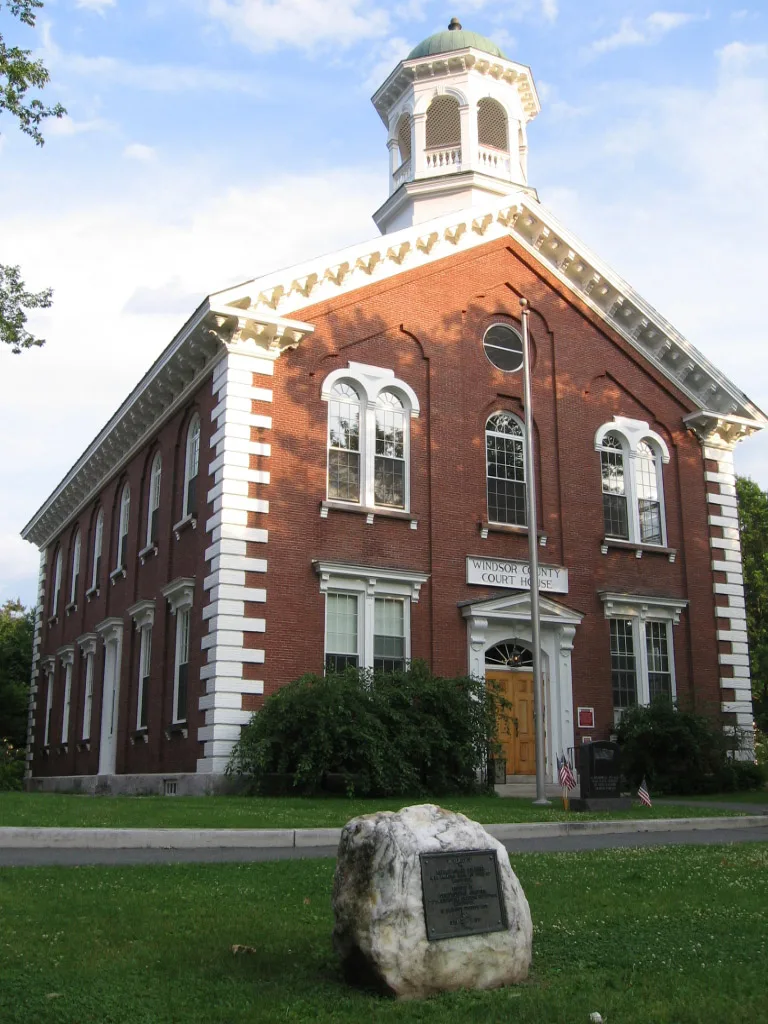
Windsor County is located in central-eastern Vermont and had approximately 57,753 inhabitants. The county was established in 1781 and reaches the Connecticut River along its eastern boundary.
Windsor and Woodstock are notable towns in the county, while the city of Springfield is an industrial centre in the Black River valley. The Ottauquechee River flows through Woodstock and joins the Connecticut River near Hartland.
To the mapRutland County

Rutland County occupies approximately 2,447 square kilometres in western-central Vermont and has about 60,572 inhabitants. Its mapped elevation is 155 metres, and the county was established in 1781.
Rutland is Vermont’s third-largest city by population and developed historically around marble and rail transport. The county includes the western slopes of the Green Mountains and the town of Killington, which lies near the 1,289-metre Killington Peak.
To the mapGrand Isle County
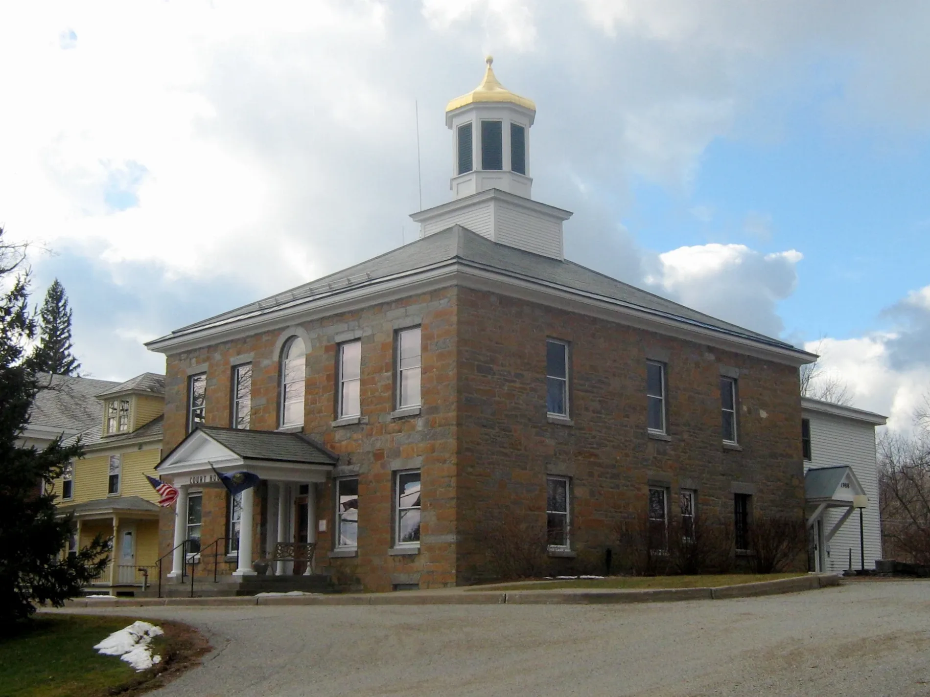
Grand Isle County consists of islands and peninsulas in the northeastern part of Lake Champlain. It is one of Vermont’s 14 counties and is connected to the mainland by bridges and causeways.
Grand Isle is the county seat and lies on the largest island of the county. South Hero, North Hero and Isle La Motte are other principal islands, while the International Boundary with Quebec runs north of the county through Lake Champlain.
To the mapFranklin County
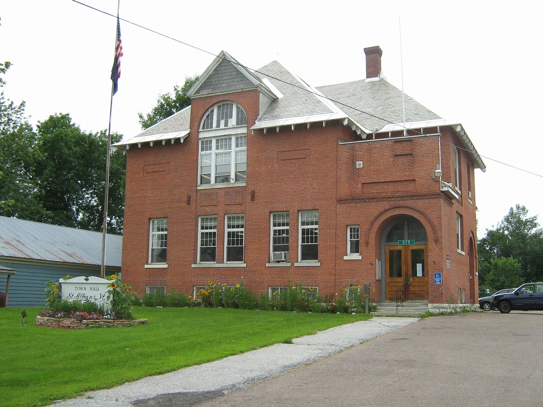
Franklin County is situated in northwestern Vermont beside Lake Champlain and the Canadian border. It covers approximately 1,792 square kilometres, has about 49,946 inhabitants and a mapped elevation of 218 metres; the county was established in 1792.
St. Albans is the county seat and a rail centre near the eastern shore of Lake Champlain. The Missisquoi River crosses the county before entering Missisquoi Bay, and Swanton is located near the river’s lower course.
To the mapChittenden County

Chittenden County is Vermont’s most populous county, with approximately 168,323 inhabitants and an area of about 1,605 square kilometres. It was established in 1787 and extends from Lake Champlain eastward into the foothills of the Green Mountains.
Burlington, Vermont’s largest city, stands on Lake Champlain and contains the University of Vermont campus. The Winooski River flows through Winooski and joins Lake Champlain near Burlington, while the county also includes Essex, South Burlington and Colchester.
To the mapAddison County

Addison County lies west of the Green Mountains along the eastern side of Lake Champlain. It had approximately 37,363 inhabitants and was established in 1785.
Middlebury is the county seat and the location of Middlebury College, founded in 1800. The town of Vergennes, chartered in 1788, is located in the western part of the county near Otter Creek, Vermont’s longest river.
To the mapWashington County

Washington County is located in central Vermont and had approximately 59,807 inhabitants. It was established in 1811 and includes much of the central Green Mountain region.
Montpelier, the Vermont state capital, lies in Washington County on the Winooski River. Barre is known for its granite-quarrying history, and the 1,244-metre Camel’s Hump rises near the county’s western edge.
To the mapLamoille County

Lamoille County covers approximately 1,201 square kilometres in north-central Vermont and has about 25,945 inhabitants. The county was established in 1836 and takes its name from the Lamoille River.
Hyde Park is the county seat, while Stowe lies at the foot of Mount Mansfield, Vermont’s highest mountain at 1,339 metres. The Lamoille River flows westward through Morrisville and Cambridge before reaching Lake Champlain.
To the mapOrleans County

Orleans County occupies approximately 1,868 square kilometres in northeastern Vermont and has about 27,393 inhabitants. The county was established in 1792 and includes the northern part of the Northeast Kingdom.
Newport is the county seat and lies at the southern end of Lake Memphremagog. The lake extends across the United States–Canada border, while the Missisquoi River drains the western part of the county toward Lake Champlain.
To the mapCaledonia County

Caledonia County is located in northeastern Vermont and covers approximately 1,703 square kilometres. About 30,233 people live in the county, which was established in 1792.
St. Johnsbury is the county seat and the largest community in the Northeast Kingdom. The Passumpsic River flows through St. Johnsbury and joins the Connecticut River, which forms the county’s eastern boundary with New Hampshire.
To the mapOrange County

Orange County lies in east-central Vermont and has approximately 29,277 inhabitants. It covers about 1,792 square kilometres and was established in 1781.
Bradford and Randolph are two of the county’s principal towns, while Chelsea is the county seat. The First Congregational Church in Randolph is associated with the town’s historic centre, and the Waits River flows through northern Orange County toward the Connecticut River.
To the mapEssex County
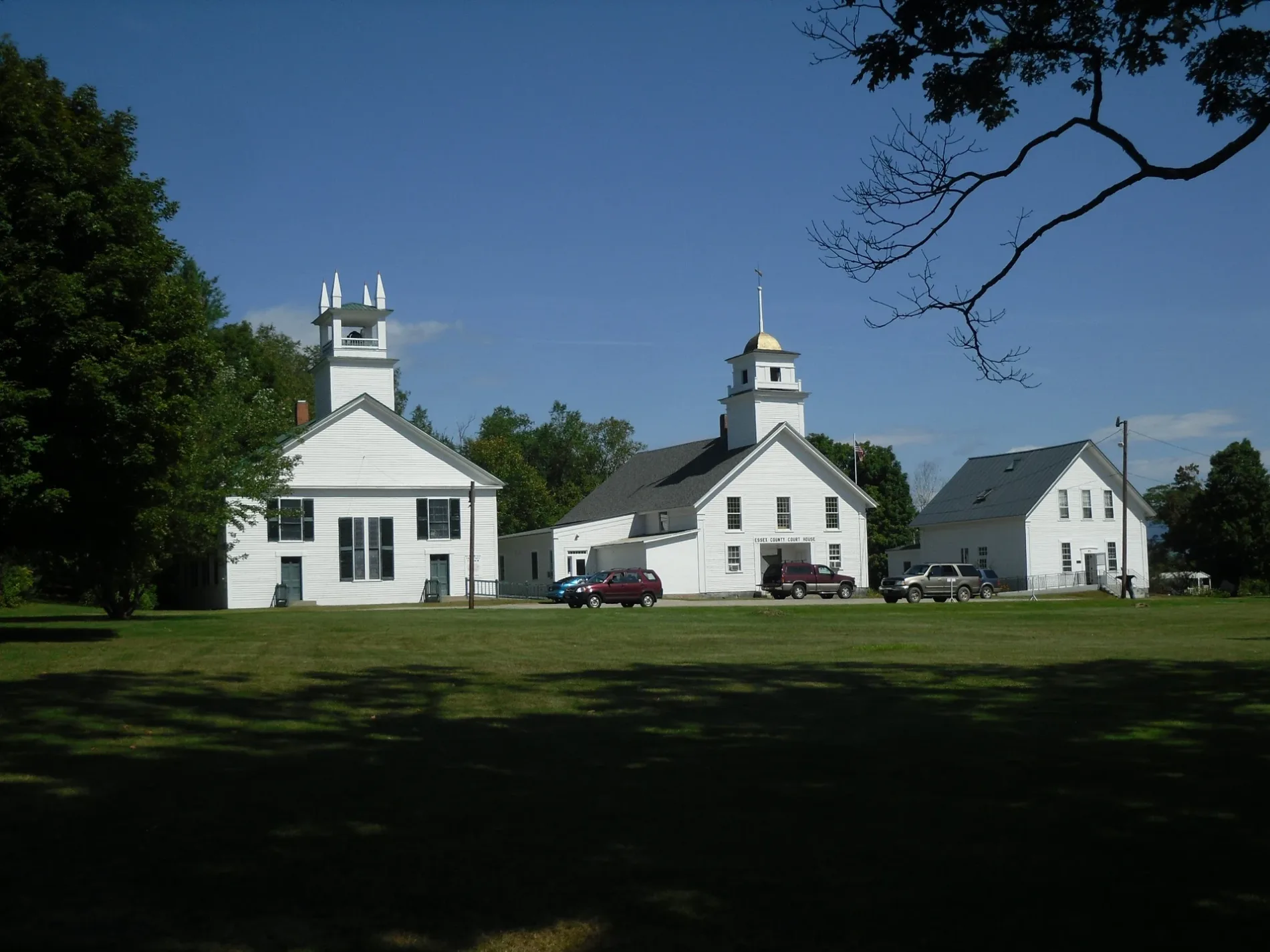
Essex County is Vermont’s northeasternmost county and covers approximately 1,745 square kilometres. With about 5,920 inhabitants, it has the smallest population of Vermont’s 14 counties; the county was established in 1800.
The Connecticut River forms the eastern border with New Hampshire, while the Nulhegan River drains a large part of the county’s forested interior. Island Pond and the town of Guildhall are important local settlements, and the county lies within Vermont’s Northeast Kingdom.
To the mapData sources: OpenStreetMap (ODbL), Wikidata (CC0) · Image: Wikimedia Commons
| Named after | Green Mountains |
|---|---|
| Year built | 1791 |
| Area | 24923 km² |
| Elevation | 305 m |
| Located in | United States |
| Country | United States |
| Body of water | Lake Champlain |
| Population | 643077 |
| Website | https://www.vermont.gov/ |
| Nickname | The Green Mountain State |
| Native name | Vermont |
| Official name | State of Vermont |

 Public transit map Vermont Legend
 | Railway | |
| Bus | |
| Tram |
 Bicycle map Vermont Legend
 | Bike path | |
| Bike lane on roadway | |
| Cycling allowed on bus lane | |
| Bicycle street | |
| Open to cyclists | |
| Open to cyclists, good path | |
| Cycling prohibited | |
| Cobblestone |
| Long-distance bike route | (depending on scale) | |
| Long-distance bike route |
 Pedestrian map Vermont Legend
 | Path |
| Long-distance hiking trail | (depending on scale) | |
| Long-distance hiking trail | ||
| Pedestrians prohibited |