
South 47th Avenue in Yakima, Washington
South 47th Avenue in Yakima is a residential street. It runs in a north-south direction starting from West Chestnut Avenue and crosses West Walnut Avenue and ends at Tieton Drive. South 47th Avenue also exists in Clark County.
- Road Type
- residential street
- Speed Limit
- 25 mph
- Route
- north-south
Image
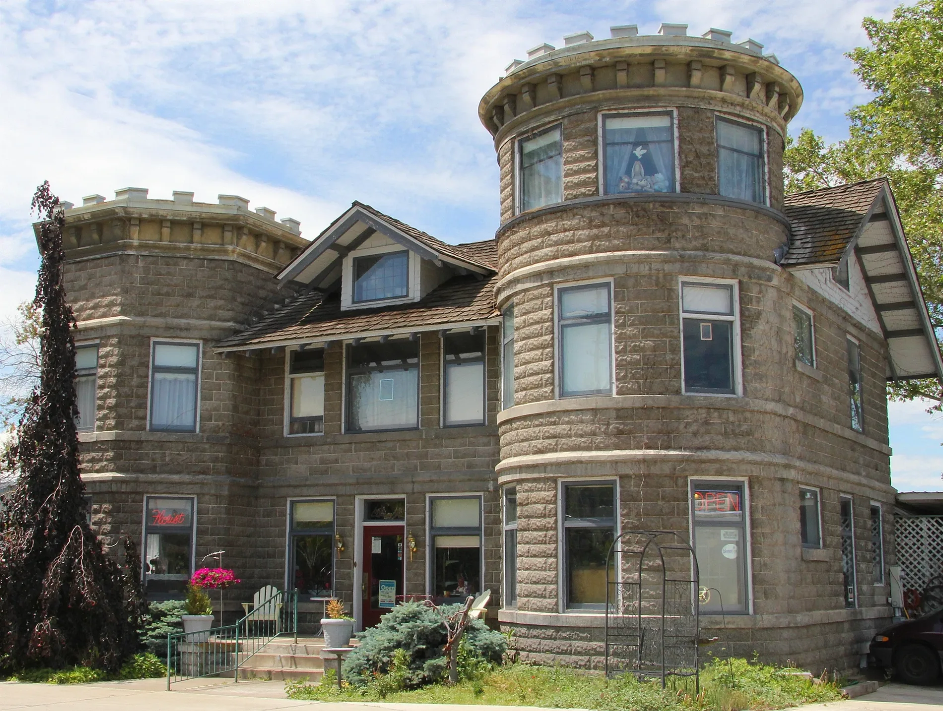
Hair salons
Produce markets
Cafes
Kindergartens
Community centers
Garden centers
Bus stops
Banks
Self storages
Veterinary clinics
Social facilities
Clinics
Jewelry stores
Cell phone stores
Streets nearby
West Walnut Avenue350 ft
South 45th Avenue0.1 mi
McCargar Street0.1 mi
Paulson Place0.1 mi
South 49th Avenue0.2 mi
Drake Street0.2 mi
South 44th AvenueApple Valley Dental & Braces
0.2 mi
West Chestnut AvenueSaint Pauls Cathedral School, Holy Family Activity Center, Highgate Senior Living, Christ the Teacher Catholic School, West Walnut Street and 7th
0.2 mi
South 50th Avenue0.2 mi
Bell AvenueC & S Coffeehouse
0.2 mi
South 48th Avenue0.2 mi
Bel Air Drive0.3 mi
Barge Street0.3 mi
Webster Street0.3 mi
Bonnie Lane0.3 mi
Cherry Park Court0.3 mi
Chisholm Trail0.3 mi
South 51st AvenueFox-N-Hound Hair Salon
0.3 mi
North 46th Avenue0.3 mi
South 46th Avenue0.3 mi
Apple Blossom Court0.3 mi
North 44th AvenueMontessori School of Yakima, Englewood Christian Church
0.3 mi
Bristol Way0.3 mi
West Way0.3 mi
Pear Tree Court0.3 mi
Tieton DriveWillow Springs, Umpqua Bank, Animal Medical Service, Tieton Dr. & 44th Ave., Tieton Dr. & S. 46th, Abbey's Pizza, Tieton Dr. & 50th, Holy Family, Tieton Dr. & 53rd, Museum Soda Fountain, Tieton Dr. & 17th Ave., Tieton Dr. & S. 18th, Franklin Park, Tieton Dr. & 24th Ave., Tieton & S. 26th, Memorial Hospital, Tieton Dr. & S. 32nd, Tieton Dr. & S. 34th, Tieton Dr. & S. 36th, Eisenhower High School, Supercuts, Starbucks, Domino's, The UPS Store, Auto Spa, Shell, Captain Crab & Ramen, Navigate Wireless, West, Tieton Dr. & Queen Ave., Tieton & 12th Ave., Tieton & 14th Ave.
0.3 mi
North 48th Avenue0.3 mi
North 49th AvenueJohnson's Orchards Fruit
0.3 mi
Glenmoor Circle0.4 mi
Peach Tree Lane0.4 mi
Plum Lane0.4 mi
North 52nd Avenue0.4 mi
West Arlington Avenue0.4 mi
Meadow Lane Court0.4 mi
Maclaren Court0.4 mi
South 53rd Avenue0.4 mi
Bars nearby
Jackson's Sports Bar0.2 mi
Xochimilco Tequila Bar & Restaurant0.4 mi
Cafes nearby
Caffé Capri Italian Espresso & Bistro0.1 mi
Clinics nearby
Active Life Chiropractic0.2 mi
Industrial areas nearby
Evans Fruit0.4 mi
Kindergartens nearby
Carroll Children's Center0.3 mi
Places of worship nearby
Tieton Drive Bible Chapel0.2 mi
Residential areas nearby
Glenmoor Green0.3 mi
Restaurants nearby
McGuire's Irish Restaurant And Pub0.2 mi
Abby's0.2 mi
El Portón0.2 mi
Zesta Cucina0.4 mi
Retail areas nearby
Glenwood Shopping Center0.1 mi
 Public transit map Yakima Legend
| Railway | |
| Bus | |
| Streetcar |
 Bicycle map Yakima Legend
| Bike path | |
| Bike lane on roadway | |
| Cycling allowed on bus lane | |
| Bicycle street | |
| Open to cyclists | |
| Open to cyclists, good path | |
| Cycling prohibited | |
| Cobblestone |
| Long-distance bike route | (depending on scale) | |
| Long-distance bike route |
 Pedestrian map Yakima Legend
| Path |
| Long-distance hiking trail | (depending on scale) | |
| Long-distance hiking trail | ||
| Pedestrians prohibited |