
Colby
Colby is an admin-level-8 locality in Wisconsin. The locality is included in the Wisconsin regional map. Its position can be identified together with Wisconsin’s roads and paths. No population, area or elevation figure is provided here.
 CartogiraffeMap · Streets · Places

Colby is an admin-level-8 locality in Wisconsin. The locality is included in the Wisconsin regional map. Its position can be identified together with Wisconsin’s roads and paths. No population, area or elevation figure is provided here.

Bayside is an admin-level-8 locality in Wisconsin. It belongs to the set of mapped Wisconsin subregions. The City map records its streets, paths and place name. No separate population, area or elevation figure is specified.

De Soto is an admin-level-8 village in Vernon and Crawford Counties, Wisconsin. The village has 309 residents and covers 3,240,778 square metres. Its listed elevation is 199 metres above sea level. De Soto is shown within Wisconsin’s network of roads and paths.

Pulaski is an admin-level-8 locality in Wisconsin. It is represented as a distinct subregion on the Wisconsin City map. The map places Pulaski within the state’s system of streets and paths. No further demographic or area data is supplied.

Muscoda is an admin-level-8 village in Grant County, Wisconsin. It has 1,307 residents and an area of 3,788,968 square metres. The listed elevation is 221 metres above sea level. Its mapped setting belongs to the Wisconsin region.

Montfort is an admin-level-8 locality in Wisconsin. The locality appears as a separate place in the regional map. Streets and paths connect its mapped position with the wider Wisconsin network. No population or area value is provided.

Livingston is an admin-level-8 village in Grant County, Wisconsin. Its population is 637, and its area is 2,649,225 square metres. Livingston has a listed elevation of 351 metres above sea level. The village is included in the Wisconsin City map.

Cuba City is a fourth-class city in Grant County, Wisconsin. It has 2,138 residents and covers 3,011,037 square metres. The listed elevation is 308 metres above sea level. Its streets and paths are represented within the Wisconsin regional map.

Marion is an admin-level-8 city in Shawano and Waupaca Counties, Wisconsin. It has 1,324 residents and an area of 6,680,758 square metres. The city’s listed elevation is 259 metres above sea level. Marion is mapped as a distinct Wisconsin locality.

Brodhead is an admin-level-8 city in Green County, Wisconsin. Its population is 3,274, and its area is 4,597,824 square metres. Brodhead stands at a listed elevation of 242 metres above sea level. The city is included in the map of Wisconsin streets and paths.

Watertown is an admin-level-8 city in Dodge and Jefferson Counties, Wisconsin. It has 22,926 residents and covers 32,228,606 square metres. The listed elevation is 260 metres above sea level. Watertown is one of the mapped urban localities in Wisconsin.

The City of Berlin is an admin-level-8 city in Green Lake and Waushara Counties, Wisconsin. It has 5,571 residents and an area of 16,551,633 square metres. Its listed elevation is 246 metres above sea level. The city’s roads and paths are part of the Wisconsin City map.

Turtle Lake is an admin-level-8 locality in Wisconsin. It is recorded as a separate subregion in the regional map. The locality is shown with Wisconsin’s mapped streets and paths. No separate population, area or elevation figure is listed.

Randolph is an admin-level-8 village in Dodge and Columbia Counties, Wisconsin. Its population is 1,796. The listed elevation is 298 metres above sea level. Randolph is represented as a distinct village on the Wisconsin map.

Kiel is an admin-level-8 city in Wisconsin. It has 3,932 residents and covers 6,862,338 square metres. The city’s listed elevation is 280 metres above sea level. Kiel is included among the mapped Wisconsin places.

Viola is an admin-level-8 village in Wisconsin. Its population is 676, and its area is 2,611,841 square metres. The listed elevation is 233 metres above sea level. The village is shown on the Wisconsin City map.

Unity is an admin-level-8 village in Clark and Marathon Counties, Wisconsin. It has 384 residents and covers 2,560,000 square metres. Its listed elevation is 407 metres above sea level. Unity is a mapped locality in central Wisconsin’s administrative structure.

Dorchester is an admin-level-8 locality in Wisconsin. It is listed as a distinct subregion of the state. Its streets and paths are represented in the Wisconsin City map. No separate population, area or elevation data is supplied.

Newburg is an admin-level-8 village in Ozaukee County, Wisconsin. It has 1,142 residents and an area of 2,324,126 square metres. The listed elevation is 258 metres above sea level. Newburg is included in the mapped network of Wisconsin places.

Spring Valley is an admin-level-8 locality in Wisconsin. The locality is shown as a separate place on the state map. Its mapped position is connected with Wisconsin streets and paths. No population, area or elevation figure is provided.
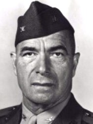
Stanley is an admin-level-8 city in Chippewa and Clark Counties, Wisconsin. It has 3,804 residents and covers 10,878,304 square metres. The listed elevation is 330 metres, and the city was established in 1881. Stanley is represented as a distinct locality in the Wisconsin map.
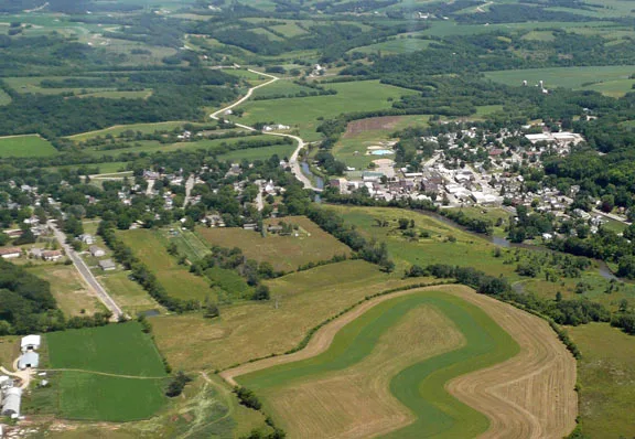
Blanchardville is an admin-level-8 locality in Wisconsin. It is listed separately among the state’s mapped subregions. The City map identifies its place name together with local streets and paths. No additional demographic or area data is supplied.

Cambridge is an admin-level-8 locality in Wisconsin. It is recorded as an individual subregion in the Wisconsin map. Its position can be viewed with the surrounding road and path network. No population, area or elevation value is specified.

Brooklyn is an admin-level-8 village in Dane and Green Counties, Wisconsin. It has 1,524 residents and covers 2,905,934 square metres. The supplied data does not specify an elevation. Brooklyn is shown as a separate locality on the Wisconsin City map.

Belleville is an admin-level-8 locality in Wisconsin. It forms one of the individually listed subregions of the state. The map records Belleville with Wisconsin’s streets, paths and place names. No separate population, area or elevation data is supplied.

Edgerton is an admin-level-8 city in Dane and Rock Counties, Wisconsin. Its population is 5,945, and its area is 10,778,975 square metres. The listed elevation is 249 metres above sea level. Edgerton is included in the Wisconsin regional map.

Waukesha County is an admin-level-6 county in Wisconsin. It has 406,978 residents. The county was established in 1846. Its municipalities and road network are part of the Wisconsin City map.

Milwaukee County is an admin-level-6 county in Wisconsin. Its population is 957,735. The county is part of the state’s southeastern metropolitan area. The regional map records its cities, streets and paths.

Washington County is an admin-level-6 county in Wisconsin. It has 136,761 residents and was established in 1845. The county is represented within the statewide administrative map. Its local roads and places appear in the Wisconsin City map.

Sheboygan County is an admin-level-6 county in Wisconsin. It has 118,034 residents and covers 3,292,000,000 square metres. The county was established in 1836. Its mapped territory includes the Lake Michigan side of Wisconsin.

Fond du Lac County is an admin-level-6 county in Wisconsin. Its population is 104,154, and its area is 1,983,000,000 square metres. The county was established in 1836. Its communities and transport network are included in the state map.

Green Lake County is an admin-level-6 county in Wisconsin. It has 19,018 residents and an area of 985,000,000 square metres. The county was established in 1858. Green Lake County is shown with its roads, paths and localities.

Dodge County is an admin-level-6 county in Wisconsin. Its population is 88,502. The county contains places including Watertown and Randolph. Its administrative area is represented in the Wisconsin City map.

Winnebago County is an admin-level-6 county in Wisconsin. It has 171,730 residents and was established in 1848. The county is part of the state’s mapped administrative structure. Its roads and places are included in the regional map.

Waushara County is an admin-level-6 county in Wisconsin. Its population is 24,520, and the county was established in 1851. The City of Berlin is among the listed localities associated with the county. Roads and paths across the county are shown on the Wisconsin map.

Outagamie County is an admin-level-6 county in Wisconsin. It has 190,705 residents and covers 1,669,000,000 square metres. The county was established in 1852. Its communities and transport routes are represented in the regional map.

Calumet County is an admin-level-6 county in Wisconsin. Its population is 52,442, and its area is 1,028,000,000 square metres. The county was established in 1850. It is shown as part of Wisconsin’s northeastern administrative network.

Marathon County is an admin-level-6 county in Wisconsin. It has 166,428 residents and covers 4,082,000,000 square metres. The county was established in 1850. Localities such as Unity are included within its wider mapped area.

Waupaca County is an admin-level-6 county in Wisconsin. Its population is 51,812, and the county was established in 1853. Marion is one of the listed cities associated with Waupaca County. The county’s roads and paths are represented on the state map.

Portage County is an admin-level-6 county in Wisconsin. It has 70,377 residents and covers 2,131,000,000 square metres. The county was established in 1836. Its settlements and transport network form part of the Wisconsin City map.

Shawano County is an admin-level-6 county in Wisconsin. Its population is 40,881, and its area is 2,355,000,000 square metres. The county was established in 1853. Marion is one of the listed cities extending into Shawano County.

Wood County is an admin-level-6 county in Wisconsin. It has 73,435 residents. The county is included in the central Wisconsin administrative map. Its cities, roads and paths are represented within the statewide City map.

Adams County is an admin-level-6 county in Wisconsin. Its population is 20,148. The county is recorded as a separate administrative subregion of the state. Its mapped places and transport routes belong to the Wisconsin regional map.

Clark County is an admin-level-6 county in Wisconsin. It has 34,659 residents and covers 3,157,000,000 square metres. The county was established in 1853. Stanley and Unity are listed localities connected with Clark County.
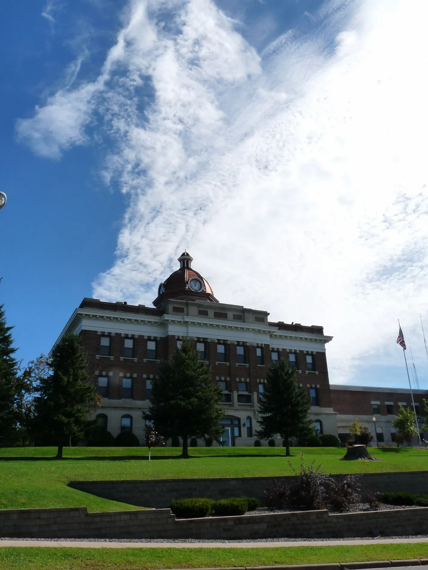
Taylor County is an admin-level-6 county in Wisconsin. Its population is 20,455. The county is shown as a distinct northern Wisconsin administrative area. Its roads and localities are included in the state map.
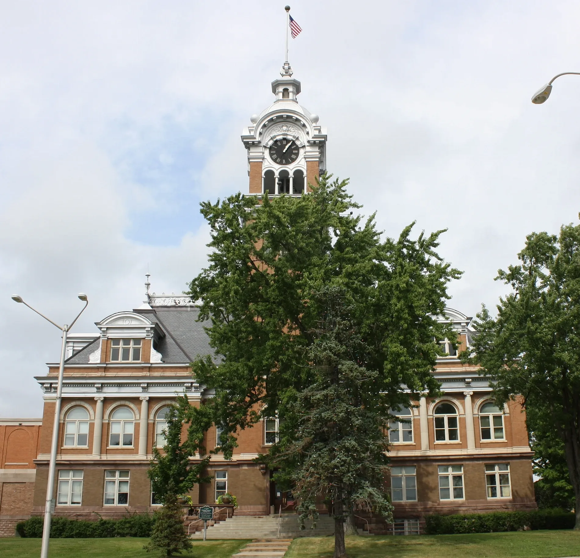
Lincoln County is an admin-level-6 county in Wisconsin. It has 27,980 residents. The county forms part of the mapped north-central area of the state. Its streets, paths and places are represented in the Wisconsin City map.

Oneida County is an admin-level-6 county in Wisconsin. Its population is 37,845, and its area is 3,201,000,000 square metres. The county was established in 1885. Oneida County is included in the northern Wisconsin regional map.
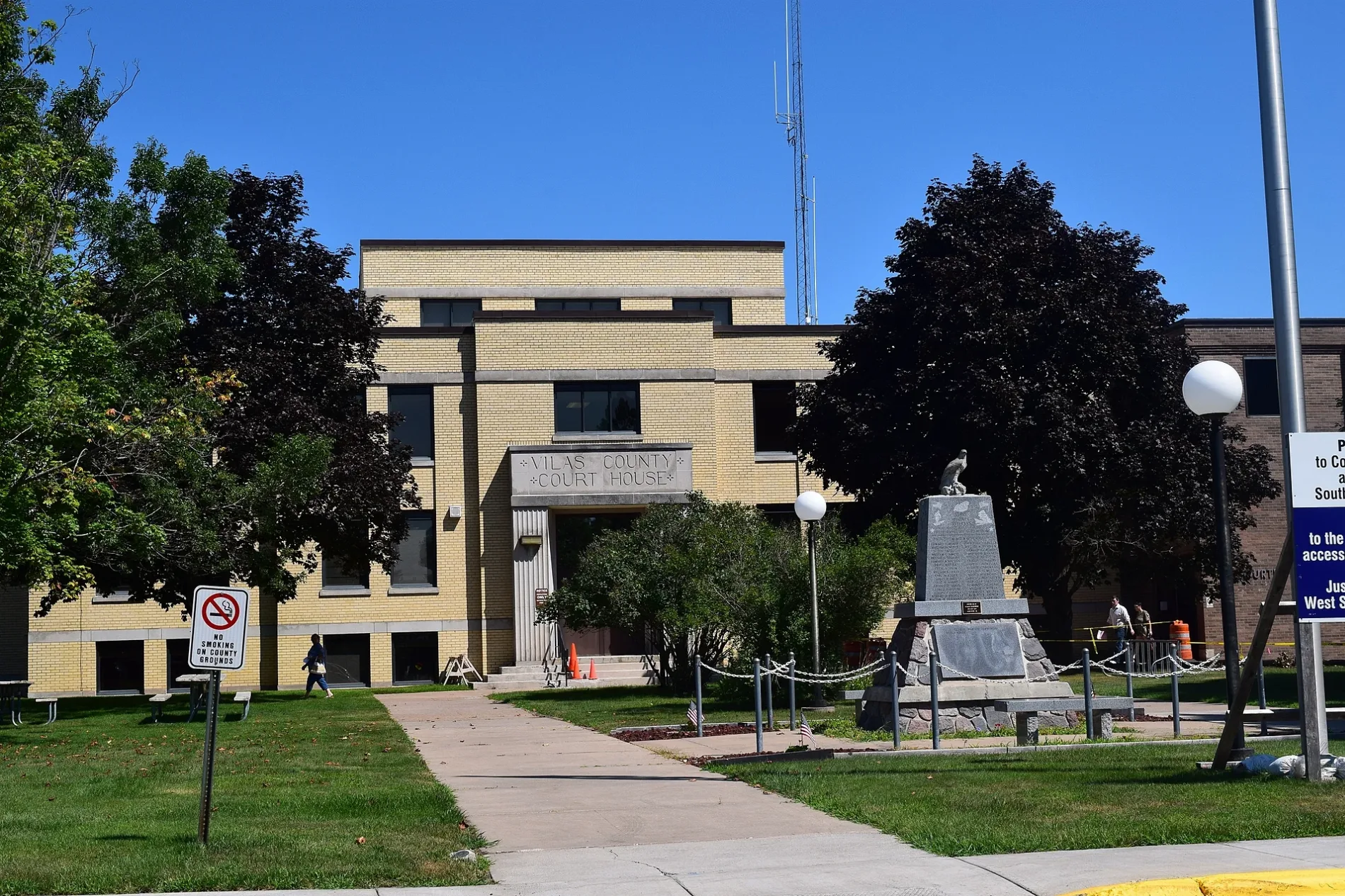
Vilas County is an admin-level-6 county in Wisconsin. It has 23,047 residents and was established in 1893. The county is shown in the northern part of the state’s administrative map. Its roads and paths connect the mapped localities.

Forest County is an admin-level-6 county in Wisconsin. Its population is 9,179, and its area is 2,710,000,000 square metres. The county was established in 1885. It is represented as a distinct northern Wisconsin subregion.

Brown County is an admin-level-6 county in Wisconsin. It has 268,740 residents and covers 1,594,000,000 square metres. The county was established in 1818. Its cities, roads and paths are part of the northeastern Wisconsin map.

Manitowoc County is an admin-level-6 county in Wisconsin. Its population is 81,359, and its area is 3,869,000,000 square metres. The county was established in 1836. It is mapped along Wisconsin’s Lake Michigan coastline.

Kewaunee County is an admin-level-6 county in Wisconsin. It has 20,563 residents and covers 2,809,000,000 square metres. The county was established in 1852. Its Lake Michigan location and local road network are included in the Wisconsin map.

Door County is an admin-level-6 county in Wisconsin. Its population is 27,554. The county occupies the Door Peninsula between Green Bay and Lake Michigan. Its communities, roads and paths are represented in the regional map.

Price County is an admin-level-6 county in Wisconsin. It has 14,054 residents and covers 3,311,000,000 square metres. The county was established in 1879. Price County is included among the state’s north-central mapped areas.

Iron County is an admin-level-6 county in Wisconsin. Its population is 6,137, and its area is 2,381,000,000 square metres. The county was established in 1893. Its northern Wisconsin roads, paths and places appear on the City map.

Ashland County is an admin-level-6 county in Wisconsin. It has 16,027 residents and covers 5,941,000,000 square metres. The county was established in 1860. Its territory on Lake Superior is included in the Wisconsin regional map.

Sawyer County is an admin-level-6 county in Wisconsin. Its population is 18,074, and its area is 3,497,000,000 square metres. The county was established in 1883. It is represented as a northern Wisconsin subregion with mapped roads and paths.

Bayfield County is an admin-level-6 county in Wisconsin. It has 16,220 residents and covers 5,288,000,000 square metres. The county was established in 1835. Its Lake Superior shoreline and inland places are included in the state map.

Chippewa County is an admin-level-6 county in Wisconsin. Its population is 66,297, and its area is 2,697,000,000 square metres. The county was established in 1845. Stanley is one of the listed cities associated with Chippewa County.

Rusk County is an admin-level-6 county in Wisconsin. It has 14,188 residents and covers 2,411,000,000 square metres. The county was established in 1901. Its mapped settlements and routes form part of northern Wisconsin’s administrative map.
Data sources: OpenStreetMap (ODbL), Wikidata (CC0) · Image: Wikimedia Commons
| Population | 5893718 |
|---|---|
| Area | 169640 km² |
| Subregions | 99 |
| Named after | Wisconsin River |
| Elevation | 320 m |
| Located in | United States |
| Country | United States |
| Body of water | Lake Michigan, Lake Superior, Mississippi River |
| Nickname | The Badger State |
| Native name | Wisconsin |
| Official name | State of Wisconsin |
| Described by | Brockhaus and Efron Encyclopedic Dictionary, The Nuttall Encyclopædia, Encyclopædia Britannica 11th edition, 1922 Encyclopædia Britannica, The American Cyclopædia, Collier's New Encyclopedia, 1921, The New Student's Reference Work, New International Encyclopedia |
| Part of | contiguous United States, Upper Midwest, Great Lakes region, Midwestern United States |
| Website | https://www.wisconsin.gov/ |
Data source: Wikidata (CC0)
 Public transit map Wisconsin Legend
 | Railway | |
| Bus | |
| Streetcar |
 Bicycle map Wisconsin Legend
 | Bike path | |
| Bike lane on roadway | |
| Cycling allowed on bus lane | |
| Bicycle street | |
| Open to cyclists | |
| Open to cyclists, good path | |
| Cycling prohibited | |
| Cobblestone |
| Long-distance bike route | (depending on scale) | |
| Long-distance bike route |
 Pedestrian map Wisconsin Legend
 | Path |
| Long-distance hiking trail | (depending on scale) | |
| Long-distance hiking trail | ||
| Pedestrians prohibited |