
Westend in Moodoge
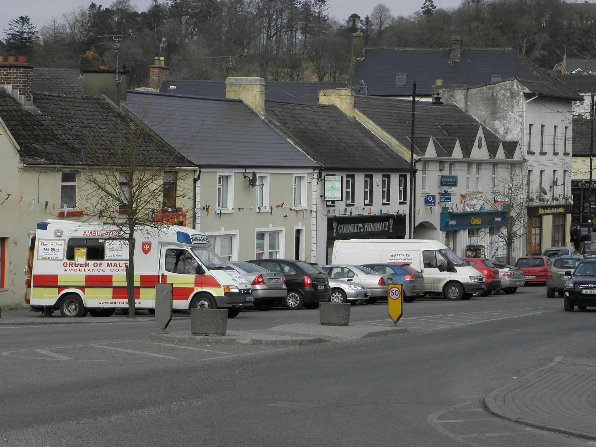
Westend in Moodoge in Ballyjamesduff Municipal District is a lit residential street.
- Road Type
- residential street
Image
Convenience stores
Clinic
Greengrocers
Artwork
Car repair shops
Pubs
Charity shops
Furniture shops
Tourist information offices
Bakeries
Fast food restaurants
Hairdressers
Electronics shops
Library
Restaurants
Laundries
Roads nearby
Park Avenue50 m
Saint Joseph’s Hall100 m
Percy French Crescent150 m
Granard StreetPercy French, Market House, The Hair Care Centre, Old Glory, Town Diner, Cahill's, Farm Fresh, Vincent's, Polo Stores
150 m
Percy French ParkBallyjamesduff Library, Ballyjamesduff Health Centre, Super Fast Food
150 m
Ramonan200 m
Langtry's FlatsA&O Autofix, Langtry's Bar
200 m
Ashford Downs200 m
Chapel StreetAce Laundrette, Ballyjamesduff Heritage Trail, Mario's Takeaway, Conaty Butchers, Green and Green, Phone World, Farrell's Bar, Cronin's, The Beer Garden
200 m
River Inny BridgeMaguire Gents Hair Salon
300 m
Parkview300 m
Market Street300 m
Anne StreetBallyjamesduff, Link Brazil, Eskimo Pizza, Lam's, Cheers, Fringe Benefits Hair Salon, The High Stool, JL Finnegan Betting Office, Tourist Information Board, Greene's Pharmacy, LJ's Bakery
300 m
Dublin Street300 m
Sallygardens350 m
Elm Drive400 m
Ramonan Road500 m
Granard RoadBJD Electrical
550 m
Percy French Place550 m
Kilnacrott Road850 m
Apartment buildings nearby
Westend Apartments50 m
Banks nearby
Ballyjamesduff Credit Union250 m
Buildings nearby
Ballyjamesduff Community Pre-School350 m
Cemeteries nearby
Saint Joseph's Catholic Cemetery250 m
Churches nearby
Old Methodist Church250 m
Commercial buildings nearby
Market House200 m
Convenience stores nearby
Centra300 m
Farmyards nearby
Ballyjamesduff Mart500 m
Houses nearby
Fort Lodge350 m
Ramonan School400 m
Kindergartens nearby
Whitetree Montessori150 m
Off-licences nearby
Next Door Off Licence250 m
Office buildings nearby
FRS Network150 m
Pharmacies nearby
Gormley's Totalhealth Pharmacy300 m
Post offices nearby
Ballyjamesduff Post Office150 m
Residential areas nearby
Percy French Close150 m
Inny Court350 m
Ashgrove550 m
Retail buildings nearby
Cronin's200 m
Rivers nearby
Mountnugent200 m
Sports centres nearby
Castlerahan GFC200 m
Ballyjamesduff AFC350 m
Sports pitches nearby
RSJ Astro Turf100 m
Fay Park200 m
Cavan Box Park350 m
Supermarkets nearby
Slowey's Fresh Today250 m
Tracks nearby
Castlerahan GFC running track200 m
Tyre shops nearby
BJD Tyre Centre400 m
Other nearby
Market House Square200 m
Public transport map Moodoge Legend
| Railway | |
| Bus | |
| Tram |
Cycling map Moodoge Legend
| Cycle path | |
| Cycle lane on road | |
| Cycling on bus lane | |
| Bicycle street | |
| Cyclists allowed | |
| Cyclists allowed, good surface | |
| No cycling | |
| Cobblestones |
| Long-distance cycle route | (depending on scale) | |
| Long-distance cycle route |
Walking map Moodoge Legend
| Path |
| Long-distance hiking trail | (depending on scale) | |
| Long-distance hiking trail | ||
| No pedestrians |