
Image
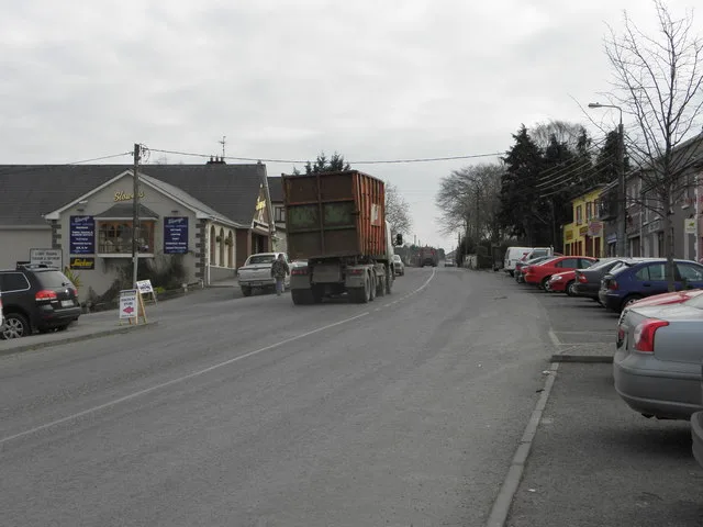
Roads nearby
Elm Drive250 m
Park Avenue250 m
Percy French ParkBallyjamesduff Library, Ballyjamesduff Health Centre, Super Fast Food
300 m
Westend300 m
Ramonan300 m
Percy French Crescent300 m
Saint Joseph’s Hall350 m
Percy French Place350 m
Granard StreetPercy French, Market House, The Hair Care Centre, Old Glory, Town Diner, Cahill's, Farm Fresh, Vincent's, Polo Stores
400 m
Chapel StreetAce Laundrette, Ballyjamesduff Heritage Trail, Mario's Takeaway, Conaty Butchers, Green and Green, Phone World, Farrell's Bar, Cronin's, The Beer Garden
400 m
Ashford Downs400 m
Langtry's FlatsA&O Autofix, Langtry's Bar
400 m
Granard RoadBJD Electrical
450 m
Ramonan Road500 m
River Inny BridgeMaguire Gents Hair Salon
500 m
Anne StreetBallyjamesduff, Link Brazil, Eskimo Pizza, Lam's, Cheers, Fringe Benefits Hair Salon, The High Stool, JL Finnegan Betting Office, Tourist Information Board, Greene's Pharmacy, LJ's Bakery
500 m
Sallygardens550 m
Dublin Street550 m
Market Street550 m
Kilnacrott Road750 m
Apartment buildings nearby
Westend Apartments350 m
Banks nearby
Ballyjamesduff Credit Union450 m
Buildings nearby
Ballyjamesduff Community Pre-School250 m
Cemeteries nearby
Saint Joseph's Catholic Cemetery300 m
Churches nearby
Old Methodist Church500 m
Commercial buildings nearby
Market House400 m
Convenience stores nearby
Centra500 m
Farmyards nearby
Ballyjamesduff Mart350 m
Houses nearby
Ramonan School400 m
Fort Lodge450 m
Kindergartens nearby
Whitetree Montessori450 m
Off-licences nearby
Next Door Off Licence450 m
Office buildings nearby
FRS Network200 m
Pharmacies nearby
Gormley's Totalhealth Pharmacy500 m
Post offices nearby
Ballyjamesduff Post Office400 m
Residential areas nearby
Percy French Close300 m
Inny Court600 m
Ashgrove750 m
Retail buildings nearby
Cronin's350 m
Rivers nearby
Mountnugent500 m
Sports centres nearby
Ballyjamesduff AFC150 m
Castlerahan GFC200 m
Sports pitches nearby
Fay Park150 m
Cavan Box Park150 m
RSJ Astro Turf200 m
Supermarkets nearby
Slowey's Fresh Today400 m
Tracks nearby
Castlerahan GFC running track150 m
Tyre shops nearby
BJD Tyre Centre650 m
Other nearby
Market House Square400 m
Public transport map Ramonan Legend
| Railway | |
| Bus | |
| Tram |
Cycling map Ramonan Legend
| Cycle path | |
| Cycle lane on road | |
| Cycling on bus lane | |
| Bicycle street | |
| Cyclists allowed | |
| Cyclists allowed, good surface | |
| No cycling | |
| Cobblestones |
| Long-distance cycle route | (depending on scale) | |
| Long-distance cycle route |
Walking map Ramonan Legend
| Path |
| Long-distance hiking trail | (depending on scale) | |
| Long-distance hiking trail | ||
| No pedestrians |