
Norman Lindsay Street in Conder
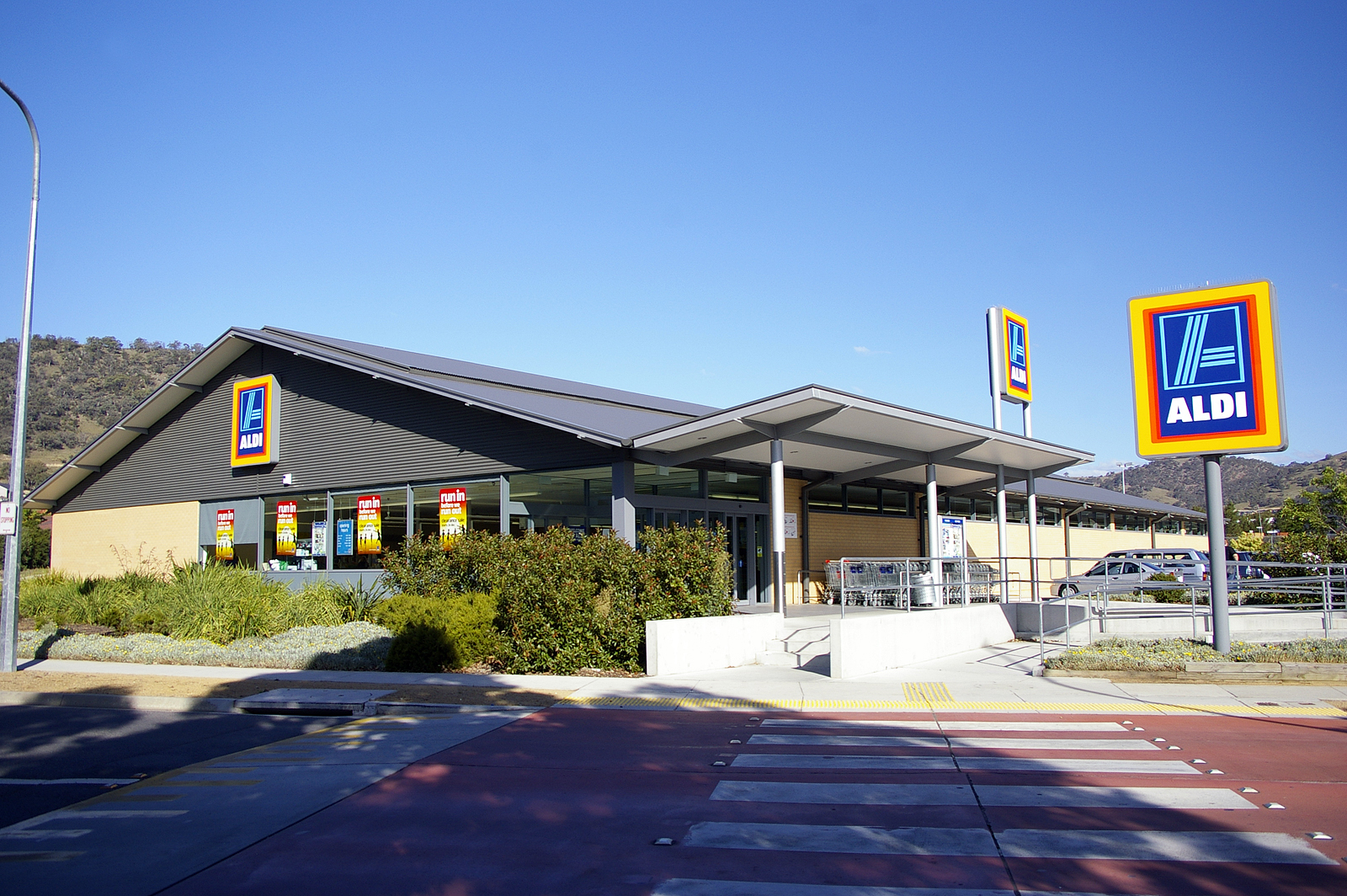
Norman Lindsay Street in Australian Capital Territory is an asphalted minor road (40 km/h) and it runs in an east-west direction and crosses Tharwa Drive and Sidney Nolan Street. In the vicinity, you can find among other things a car repair shop, a supermarket, a nutrition supplements shop and a massage parlour. The nearest stop in the vicinity is Box Hill Avenue opposite Lanyon Marketplace (approx. 250 m away).
- Road Type
- minor road
- Speed Limit
- 40
- Route
- east-west
Image
Car repair shops
Nutrition supplements shops
Off-licences
Roads nearby
Sidney Nolan StreetLanyon Newsagency, Australia Post, Lanyon Hair & Beauty, Crust, Lanyon Pharmacy, Lanyon Spa Nails, Capital Dental, Lanyon Asian Grocery
200 m
Balcombe StreetConder Takeaway, Subway, Conder Medical Dental Centre, Domino's, Coffee Guru Lanyon, Bakers Delight, BWS, Big Barber Conder, Handy Seven, Kingsley's Chicken, M&K Meats, Sushi Island, Zambrero, Hot Wok, Black & White Espresso in Lanyon
200 m
Tharwa DriveTharwa Drive after Roundabout, Tharwa Drive before Box Hill
200 m
Heidelberg Street250 m
Lowcay Street300 m
Woodcock DriveWoodcock Drive before Drakeford Drive, Woodcock Drive after Covenant College
350 m
Veal Place350 m
Falls Place400 m
Lake Place450 m
Charterisville AvenueConder
450 m
Hollis Place450 m
Dixson Circuit450 m
Sommers Street500 m
Van Raalte Place500 m
Lappin Place500 m
Feint Street550 m
Doerner Place550 m
Box Hill AvenueBox Hill Avenue opposite Lanyon Marketplace, Lanyon Marketplace Terminus, Box Hill Avenue opposite Street Clare of Assisi Primary, Box Hill Avenue Street Clare of Assisi Public School, Box Hill Avenue Lanyon Marketplace, Box Hill Avenue Lanyon Market TERMINATING STOP ONLY
550 m
Merri Place600 m
Nerli Place600 m
Saggers Close600 m
Sturgeon Street600 m
Roth Place600 m
Tom Roberts AvenueTom Roberts Avenue after John Russell Circuit, Tom Roberts Avenue 2nd after Box Hill Avenue, Tom Roberts Avenue before Lethbridge Street, Tom Roberts Avenue after Chartersville Avenue, Tom Roberts Avenue after Box Hill Avenue, Tom Roberts Avenue before Box Hill Avenue, Tom Roberts Avenue Jane Sutherland Street, Tom Roberts Avenue before Templestowe Avenue
650 m
Pockett AvenuePockett Avenue after Tharwa Drive, Pockett Avenue after Bellchambers Crescent, Pockett Avenue Banks Shops, Pockett Avenue after Wilson Crescent, Billy's Banks Takeaway, Pockett Avenue after Tregellas Crescent, Pockett Avenue after Box Hill Avenue, Pockett Avenue after 2nd Ironbark Crescent, Pockett Avenue after Perrin Circuit, Pockett Avenue after Bastow Circuit, Pockett Avenue 2nd after Brockway Circuit
700 m
Abercrombie Circuit750 m
Wilhelmi Crescent800 m
Amenities nearby
Lavender Lane Early Learning Services Conder150 m
Lanyon Playgroup House150 m
Wonderschool Conder250 m
Fast food restaurants nearby
McDonald's150 m
Fitness centres nearby
Anytime Fitness100 m
Club Lime Conder300 m
Marketplaces nearby
Lanyon Marketplace150 m
Petrol stations nearby
Caltex Woolworths Petrol Conder100 m
Playgrounds nearby
Dixson Crescent Neighbourhood Playground350 m
Pubs nearby
Lanyon Vikings250 m
Residential areas nearby
Kalorama300 m
Charles Court350 m
Merry Park500 m
Belle Tromoto550 m
Sherwood Park550 m
Newstead Mews600 m
Social facilities nearby
Uniting Amala300 m
Sports pitches nearby
Lanyon Skate Park250 m
Gordon-Conder District Playing Field 4250 m
Gordon-Conder District Playing Field 3300 m
Gordon-Conder District Playing Field 2350 m
Supermarkets nearby
ALDI250 m
Public transport map Conder Legend
| Railway | |
| Bus | |
| Tram |
Cycling map Conder Legend
| Cycle path | |
| Cycle lane on road | |
| Cycling on bus lane | |
| Bicycle street | |
| Cyclists allowed | |
| Cyclists allowed, good surface | |
| No cycling | |
| Cobblestones |
| Long-distance cycle route | (depending on scale) | |
| Long-distance cycle route |
Walking map Conder Legend
| Path |
| Long-distance hiking trail | (depending on scale) | |
| Long-distance hiking trail | ||
| No pedestrians |