
Worgan Street in Phillip
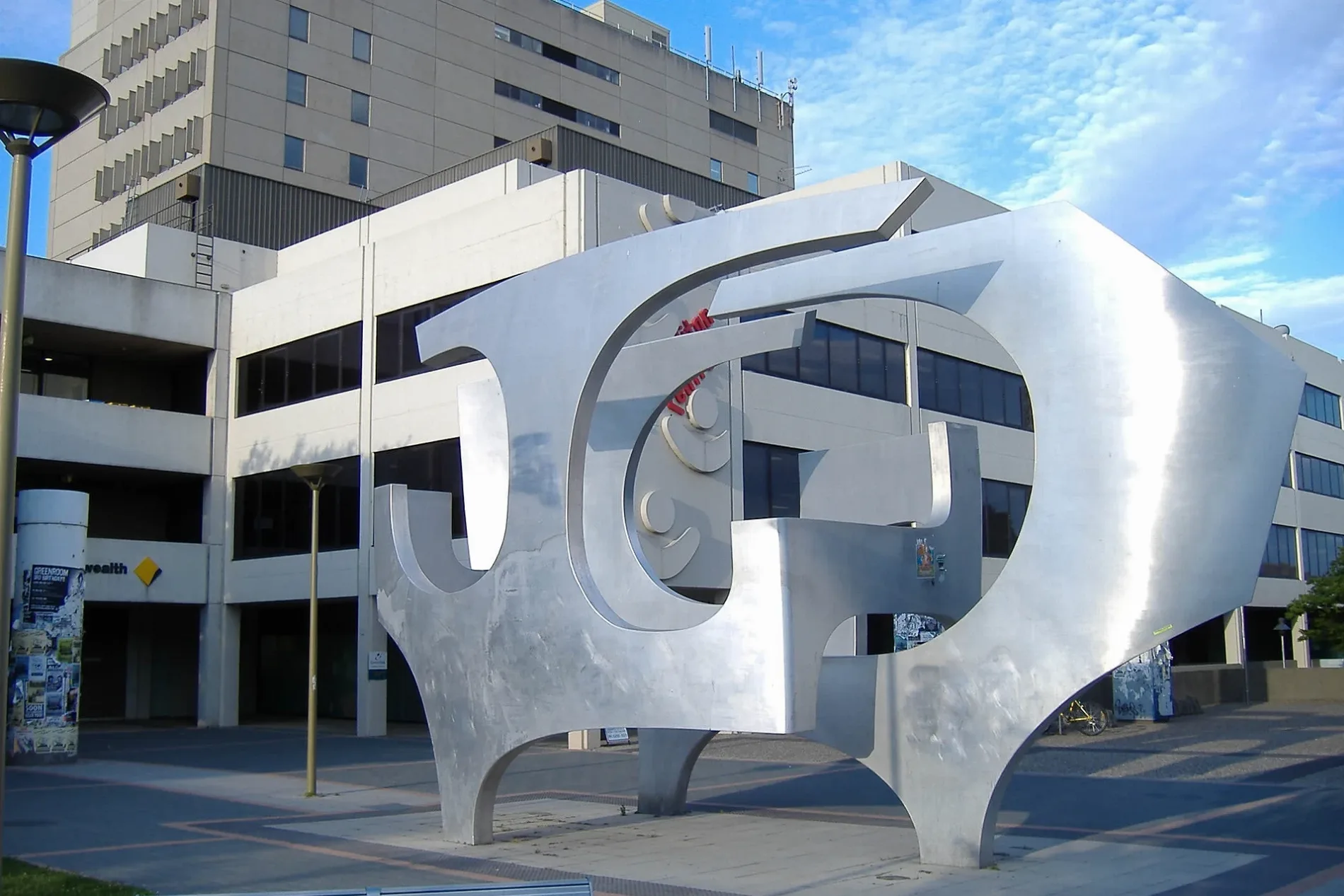
Worgan Street in Australian Capital Territory is a single-lane minor road. It runs in an east-west direction and crosses Melrose Drive, Furzer Street and Bowes Street. It connects Phillip and Lyons. In the vicinity, you can find 2 cafés, an artwork and a restaurant. The nearest stop in the vicinity is Melrose Drive opposite Phillip Pool (approx. 350 m away).
- Road Type
- minor road
- Lanes
- 2
- Route
- east-west
Image
Roads nearby
Garth Close100 m
Furzer StreetGravyT, What the pho, Woden Valley Mart
100 m
Atlantic Street200 m
Irving StreetThe Church of Pentecost Australia, Canberra
200 m
Corinna StreetCataldo’s Salon, Chemist Warehouse, Vietnam House, Dental Excellence, Capital Health Centre of Traditional Chinese Medicine, Corinna Street Westfield Woden, TK Maxx, Lemongrass, Au Lac Woden Vegan Cuisine
250 m
Staverton Place250 m
Melrose DriveMelrose Drive opposite Phillip Pool
350 m
Ulverstone Street350 m
Taroona Place400 m
Keltie StreetWoolworths
400 m
Bruny Place450 m
Brewer StreetSuncorp, Pacific Smiles Dental Woden, Corrina Dental Group, Woden Dental Care
500 m
Cornelian Place550 m
Chappell Street550 m
St Clair PlaceStreet Library
600 m
Beedham Place650 m
Burnie Street650 m
Swan Place650 m
Tasman Place650 m
Maria Place700 m
Amenities nearby
Woden Senior Citizens Club300 m
Apartment buildings nearby
The Bowen200 m
The Melrose200 m
W2300 m
Buildings nearby
Sirius Building50 m
Oakey Hill Scouts500 m
Churches nearby
Lyons Church of Christ350 m
Commercial buildings nearby
KJB Lawyers350 m
P.A. Chambers400 m
Corinna Chambers550 m
Community centres nearby
Woden Community Centre450 m
Doctor's practice nearby
Phillip Health Centre350 m
Office buildings nearby
Aviation House100 m
Discovery House150 m
Scarborough House150 m
Alexander Building200 m
Lovett Tower400 m
Residential areas nearby
The Freycinet300 m
Sorell300 m
Melrose Gardens300 m
Bellerive350 m
Gundji Gindilan350 m
Corinna Rise400 m
Trilargo Villas400 m
Chappell Court450 m
Eynesbury Court500 m
Restaurants nearby
The Southern200 m
Sports centres nearby
Phillip Swimming and Ice Skating Centre250 m
Sports pitches nearby
Lyons Neighbourhood Oval400 m
Public transport map Phillip Legend
| Railway | |
| Bus | |
| Tram |
Cycling map Phillip Legend
| Cycle path | |
| Cycle lane on road | |
| Cycling on bus lane | |
| Bicycle street | |
| Cyclists allowed | |
| Cyclists allowed, good surface | |
| No cycling | |
| Cobblestones |
| Long-distance cycle route | (depending on scale) | |
| Long-distance cycle route |
Walking map Phillip Legend
| Path |
| Long-distance hiking trail | (depending on scale) | |
| Long-distance hiking trail | ||
| No pedestrians |