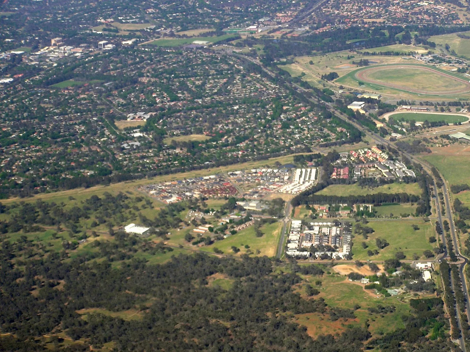
Watson, Australian Capital Territory, with Downer in the background. w:Federal Highway is on right – Graeme Bartlett, CC BY-SA 3.0 – Wikimedia Commons Watson is located in Australian Capital Territory. About 5,862 people live here (as of 2016). Between 2011 and 2021, the population grew from 5,123 to 6,727. Its area extends over around 3.7 square kilometres. Watson has around 372 streets. The region was founded in the year 1960. The postal codes are 2602. The name goes back to Chris Watson (Australian politician) Watson is suburb of Canberra, Australia. Among other things, Watson has public transport, hotels, restaurants, cafés, supermarkets, attractions and hairdressers.


 Public transport map Watson Legend
  Cycling map Watson Legend
  Walking map Watson Legend