
Doonside
Doonside is located in Blacktown City Council. About 13,451 people live here (as of 2016). Between 2016 and 2021, the population grew from 13,451 to 13,614. The region lies at 46 metres above sea level. Doonside has around 370 streets. The postal codes are 2767. Doonside is suburb of Sydney, New South Wales, Australia. Among other things, Doonside has public transport, restaurants, cafés, supermarkets, attractions and pharmacies.
Doonside – Facts
| Inhabitants | 13451 |
|---|---|
| Elevation | 46 m |
| Located in | New South Wales, City of Blacktown, Prospect |
| Postal code | 2767 |
| Country | Australia |
Data source: Wikidata (CC0)
Photos from Doonside
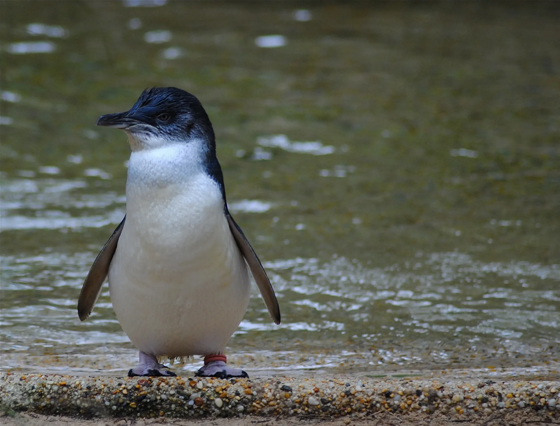
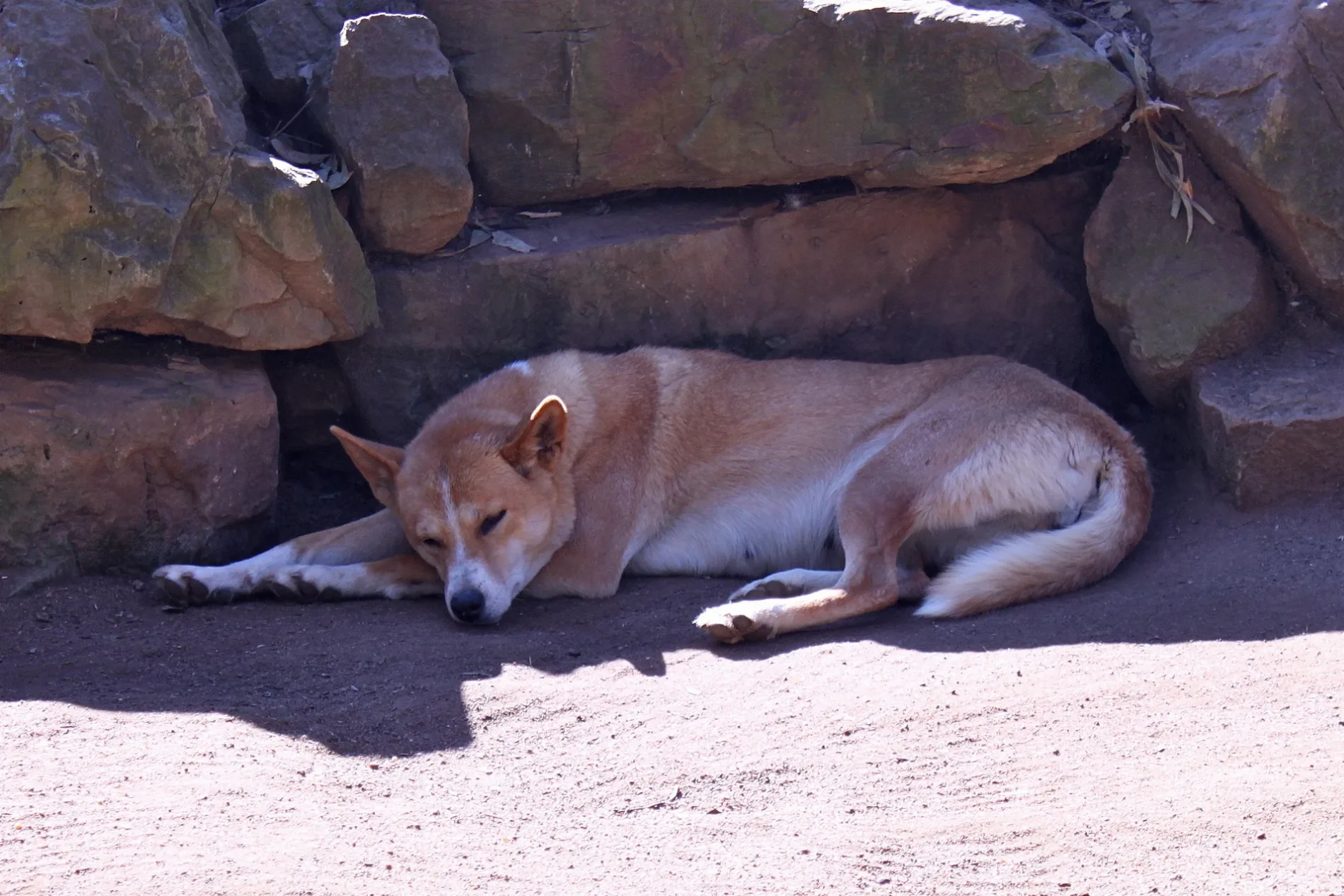
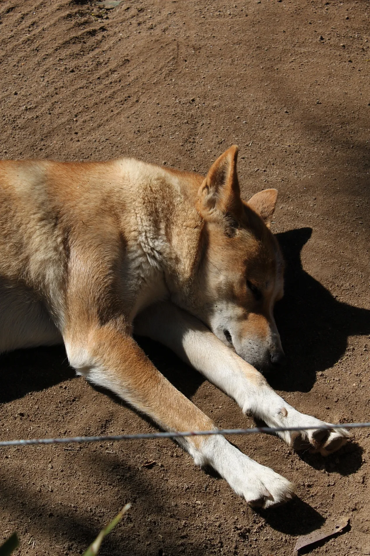
Roads in Doonside
Roads
Hill End Road
Hill End Rd opp Nellie Stewart Dr, Hill End Rd at Nellie Stewart Dr, Hill End Rd at Richmond Rd, Hill End Rd opp Gwyn St, Hill End Rd at Gwyn St, Starlight Bakery, Hill End Rd before Earle St, Doonside Station, Hill End Rd, Donsworth Pharmacy, Doonside Dry Cleaners, Mix n’ Match, Doonside Indian Grocer, Doonside Auto Parts, TAB, Hill End Rd after Wendover St, Hill End Rd after Coveny St, Hill End Rd at Karuah St, Hill End Rd before Delaney Dr, Hill End Rd opp Karuah St
Rosenthal StreetRosenthal St opp Alt Pl, Rosenthal St opp Kelsall St, Rosenthal St opp Balmain Pl, Rosenthal St opp Hinkler Pl, Rosenthal St after Kelsall St, Rosenthal St after Alt Pl, Rosenthal St before Balmain Pl, Rosenthal St at Hinkler Pl, Rosenthal St after Astral Dr, Rosenthal St opp Astral Dr, Rosenthal St after Birdwood Av, Rosenthal St at Birdwood Av, Rainbow Supermarket, Rosenthal St, Rosenthal St opp Rainbow Shopping Centre
Kildare RoadWestside Automotive, Kildare Rd opp Lynwood Av, Featherdale Wildlife Park, Kildare Rd, Kildare Rd opp Rosenthorpe St, Kildare Rd after Kiata Cres, Kildare Rd opp Kiata Cres, Kildare Rd before Rosenthorpe St, Kildare Rd after Myall St, Kildare Rd opp Myall St
Power StreetPower St at Crawford Rd, Power St opp Crawford Public School, Power St after Hill End Rd, Power St at Judith Anderson Dr, Crawford Public School, Power St, Power St opp Doonside Technology High School, Doonside Technology High School, Power St
Cross StreetDoonside Chinese Take Away, Doonside, Kiss and Ride, Cross St opp Coghlan Cres
Mandoo DriveMandoo Dr after Melkarth Pl, Mandoo Dr opp Melkarth Pl, Mandoo Dr after Helios Cres, Mandoo Dr opp Helios Cres, Mandoo Dr after Kildare Rd, Mandoo Dr after Saturn Pl
Coghlan CrescentDoonside
Western Sydney Parklands TrackPublic Toilet Nurragingy Reserve 2, Magpie Picnic Area, Ibis Picnic Area, Public Toilet Nurragingy Reserve 4
Douglas RoadDouglas Rd before Wirraway Pl, Douglas Rd opp Wirraway Pl, Douglas Rd opp De Castella Dr, Douglas Rd at De Castella Dr
Crawford RoadCrawford Rd at Cross St, Crawford Rd at Coveny St, Crawford Rd after Wycombe St
School ParadeDoonside Public School, School Pde, Bike Lockers - Doonside Station, School Pde
Astral DriveAstral Dr before Suncrest Pl, Astral Dr opp Suncrest Pl
Doonside CrescentCharcoal House Cafe, Oscar's
Cameron StreetSaint John's Anglican Church, St John Vianney School, Cameron St
Bungarribee RoadShell, Best in West Kebabs
Graham StreetDoonside Post Office, Doonside Bargains
Doonside RoadKiss and Ride, Doonside Public School, Doonside Rd
Solaris DriveSolaris Dr opp Orissa Way, Solaris Dr before Orissa Way
Birdwood AvenueBirdwood Av opp Doonside Community Health Centre, Doonside Community Health Centre, Birdwood Av
Kiata CrescentBillabong Cafe
Eastern RoadCarela Reserve, Eastern Rd
Knox RoadDoonside Medical Centre
Kareela Street
Alt Place
Bungarribee Creek Shared Path
Rowe Place
Yindi Place
Verge Place
Brune Street
Milson Road
Karuah Street
Barnet Place
Kenyon Crescent
Wirraway Place
Mundin Street
Dellit Place
Blamey Place
Rene Place
Orissa Way
Sorlie Place
Myall Street
Richmond Road
Bruxner Place
Cooinda Place
Alinga Place
Gerald Crescent
Pam Green Place
Eudon Street
Lauder Street
Bradfield Place
Eastwood Lane
Bluett Crescent
Wycombe Street
Toole Street
Lynwood Avenue
Wyatt Place
Ashton Place
Omaroo Avenue
Peplow Place
Bowes Place
Olympic Place
Weemala Avenue
Guerin Street
Cygnus Close
Delaney Drive
Wilton Road
Denis Winston Drive
Wendover Street
Batten PlaceBuildings
Car washes
Restaurants
Sports pitches
Streams
Supermarkets
 Public transport map Doonside Legend
| Railway | |
| Bus | |
| Tram |
 Cycling map Doonside Legend
| Cycle path | |
| Cycle lane on road | |
| Cycling on bus lane | |
| Bicycle street | |
| Cyclists allowed | |
| Cyclists allowed, good surface | |
| No cycling | |
| Cobblestones |
| Long-distance cycle route | (depending on scale) | |
| Long-distance cycle route |
 Walking map Doonside Legend
| Path |
| Long-distance hiking trail | (depending on scale) | |
| Long-distance hiking trail | ||
| No pedestrians |