
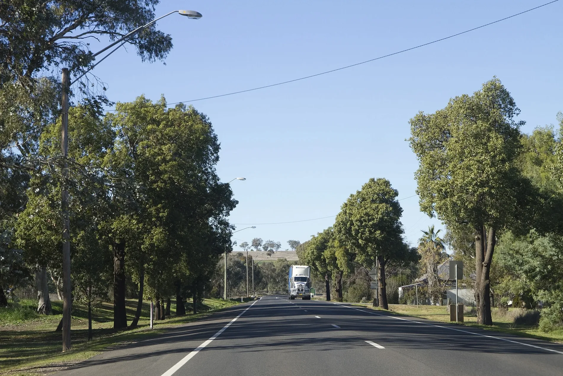
Severne Street in Geurie
Severne Street in Dubbo Regional Council is a two-lane, asphalted residential street (50 km/h). It runs in a northeast-southwest direction starting from Buckenbah Street and crosses Wellington Street and Jennings Street. It ends in a cul-de-sac. Severne Street also exists in Queanbeyan-Palerang Regional Council.
- Road Type
- residential street
- Lanes
- 2
- Speed Limit
- 50
- Route
- northeast-southwest
Image
Parking
Cafés
Pubs
Platforms
Petrol stations
Public toilet
Hofläden
Bus stops
Places of worship
Tourist information offices
Post offices
Stations
Fast food restaurants
Police stations
Roads nearby
Wellington StreetGeurie
200 m
Jennings StreetGeurie Police Station
250 m
Narragal Street450 m
Chambers StreetSt Matthews, Holy Name of Jesus, Geurie Pitstop Garage
450 m
Buckenbah StreetWise Park, Geurie LPO, Geurie Pitstop Garage, Heritage Cafe, Mitchell Inn, Geurie, Buckenbah St after Chambers St, Buckenbah St opp Geurie Station
450 m
Paxton Street550 m
Payne Street600 m
Lime Street600 m
Hill Street700 m
The Old RoadThe Old Road Rail Level Crossing
750 m
Douglas Street850 m
Fitzroy Street900 m
Cass Street950 m
Morley Street950 m
Mitchell StreetMitchell Street Rail Level Crossing
1000 m
Greenbank Street1,0 km
Whitely Street1,0 km
Whiteley Street1,1 km
Fuzzy Box Road1,2 km
Geurie Street1,5 km
Old Dubbo Road1,8 km
Heatherbrae Road2,3 km
Mitchell HighwayGeurie Rest Area, Geurie North Rest Area, Welcome to Geurie
2,9 km
Geurie Homestead Road3,0 km
The Oaks Road3,1 km
Lincoln Road3,3 km
Deep Creek Road3,4 km
River Farm AccessRiver Farm
3,5 km
Arthurville Road4,0 km
Westella Road4,0 km
Highfield Lane4,5 km
Green Lane5,2 km
Bando Lane5,4 km
Gibbs LaneGibbs Lane Rail Level Crossing
5,4 km
Comobella Road5,4 km
Combo School Lane5,7 km
Grange View Lane5,7 km
Cemeteries nearby
Geurie Cemetery1,4 km
Nature reserves nearby
Geurie Bald Hill Reserve1,5 km
Parks nearby
Tom Culkin Oval200 m
Wise Park550 m
Railway lines nearby
Geurie Loop350 m
Main Western Line5,0 km
Recreation grounds nearby
Geurie Showground1,6 km
Streams nearby
Geurie Creek350 m
Boori Creek700 m
Limestone Creek3,5 km
Deep Creek4,1 km
Swimming pools nearby
Geurie Public Pool250 m
Public transport map Geurie Legend
| Railway | |
| Bus | |
| Tram |
Cycling map Geurie Legend
| Cycle path | |
| Cycle lane on road | |
| Cycling on bus lane | |
| Bicycle street | |
| Cyclists allowed | |
| Cyclists allowed, good surface | |
| No cycling | |
| Cobblestones |
| Long-distance cycle route | (depending on scale) | |
| Long-distance cycle route |
Walking map Geurie Legend
| Path |
| Long-distance hiking trail | (depending on scale) | |
| Long-distance hiking trail | ||
| No pedestrians |