
Henty
Henty is located in Greater Hume Shire Council. About 1,237 people live here (as of 2016). Between 2016 and 2021, the population fell from 1,237 to 940. The region lies at 241 metres above sea level. Henty has around 204 streets. The postal codes are 2658. Henty is town in New South Wales, Australia. Among other things, Henty has public transport, cafés, supermarkets, attractions, museums and pharmacies.
Henty – Facts
| Inhabitants | 1237 |
|---|---|
| Elevation | 241 m |
| Located in | New South Wales, Greater Hume Shire, Henty |
| Postal code | 2658 |
| Country | Australia |
| Part of | Riverina |
Data source: Wikidata (CC0)
Photos from Henty
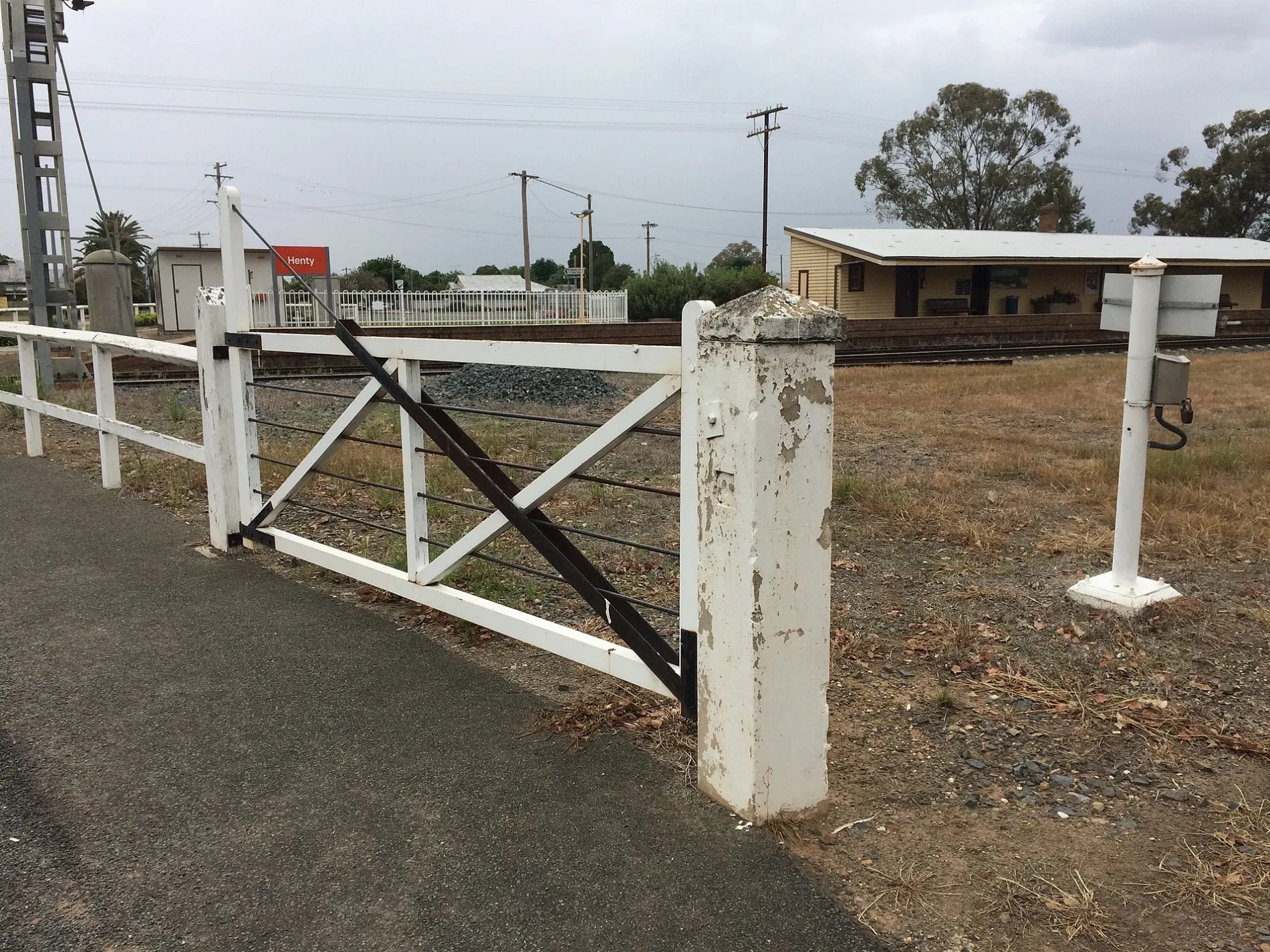
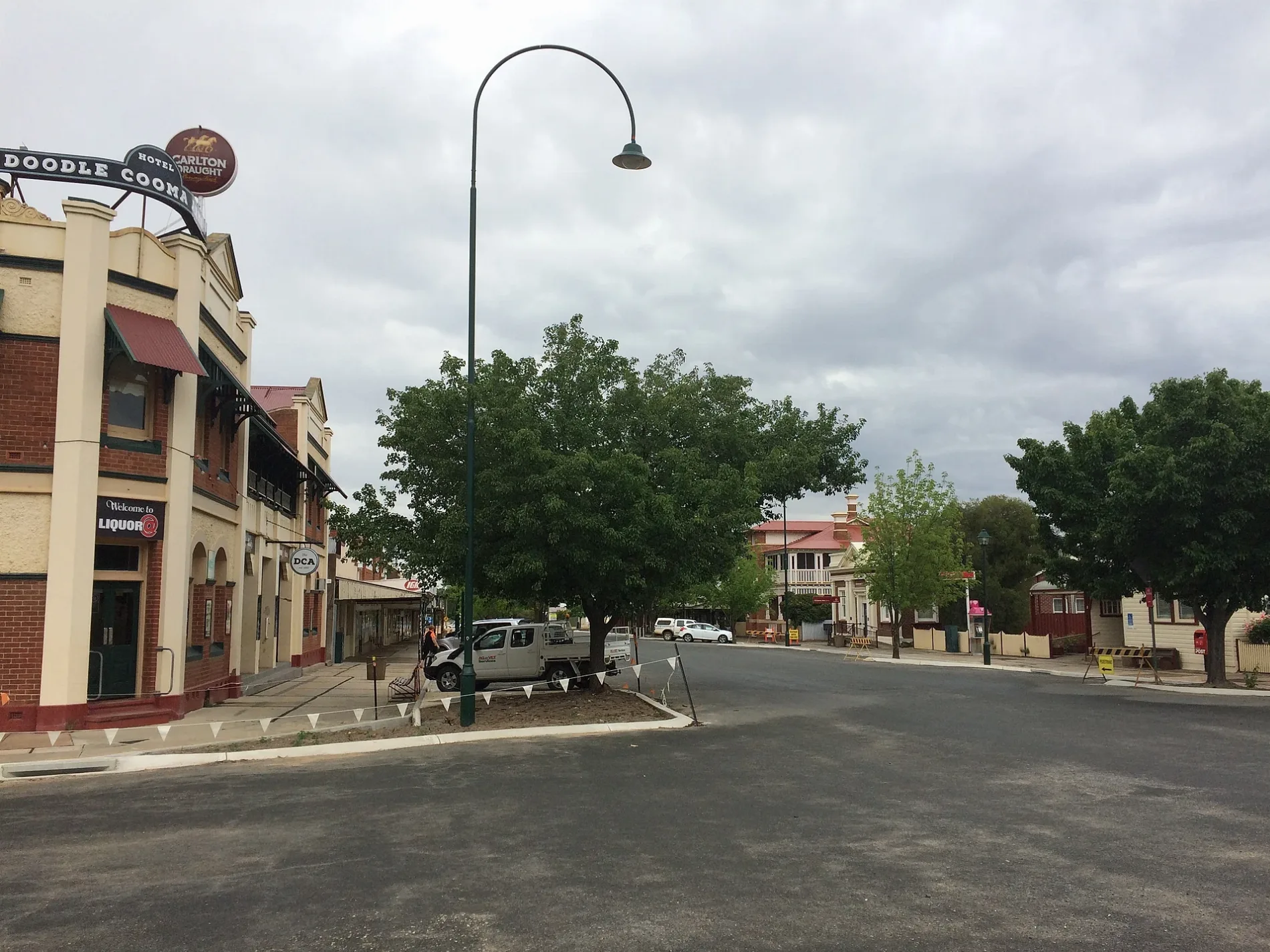
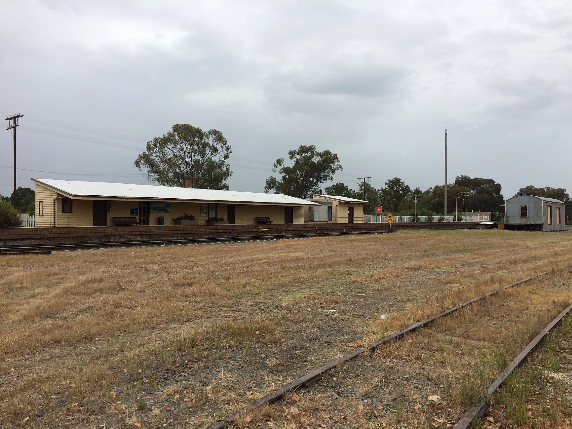
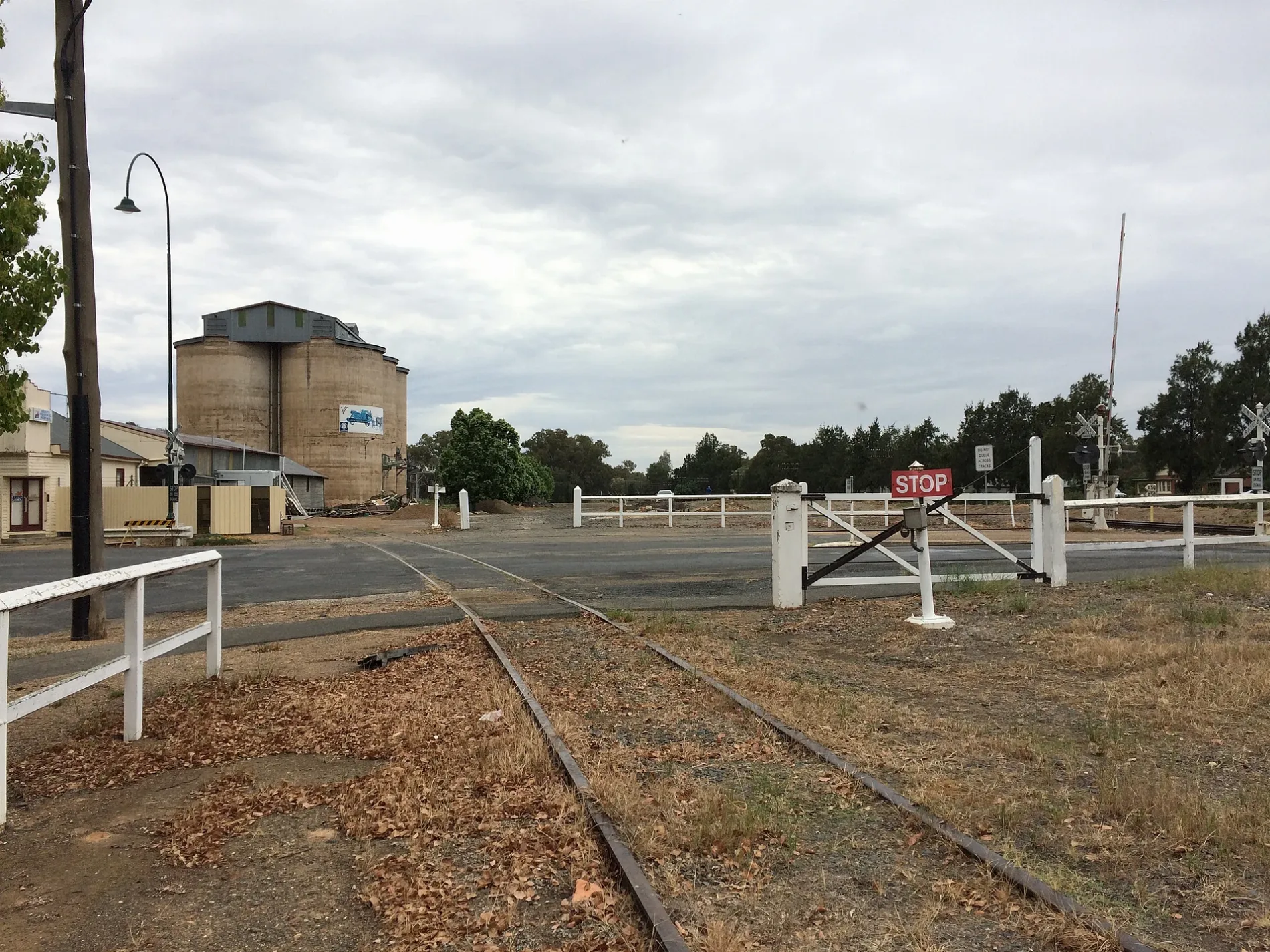
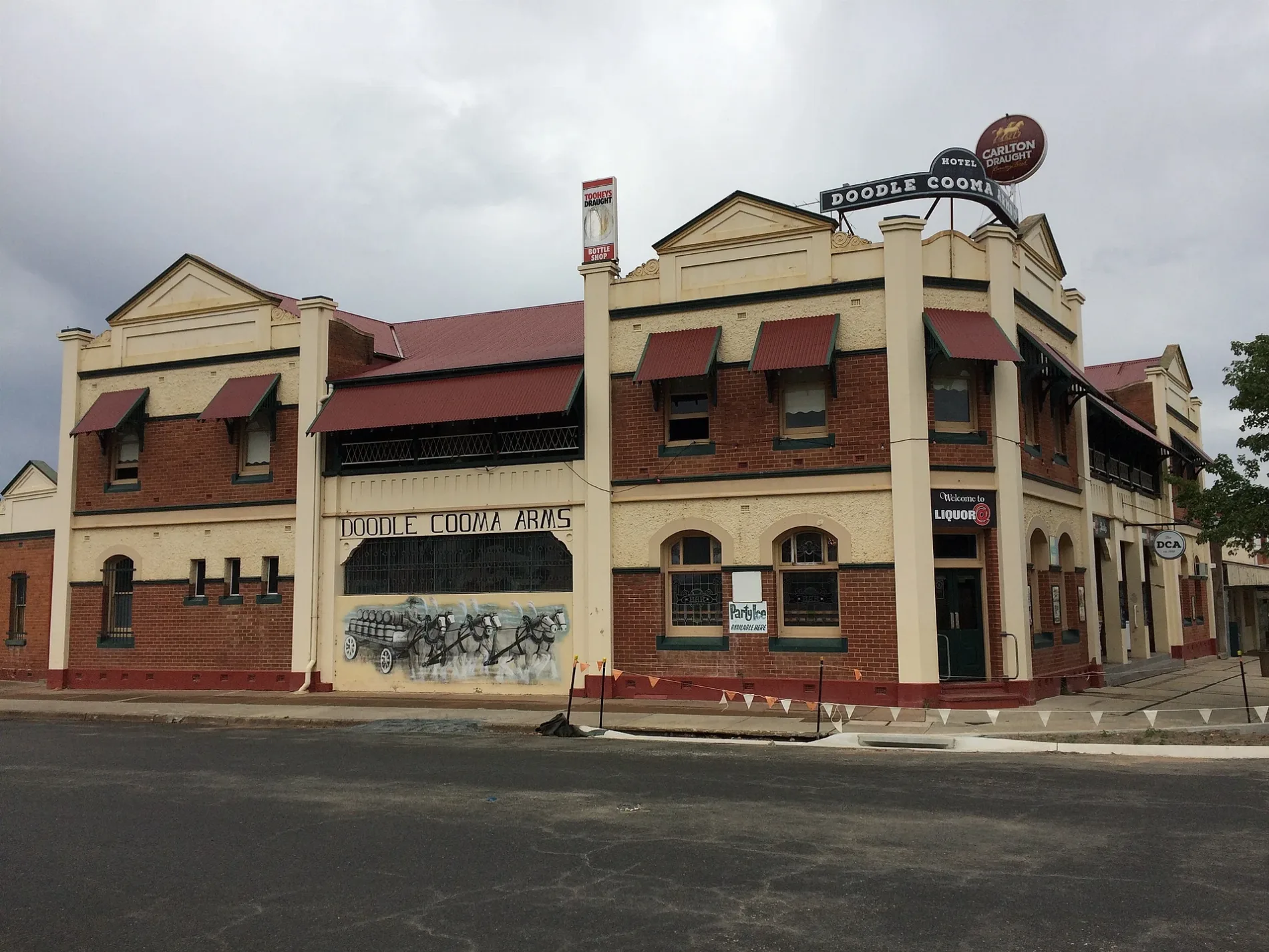
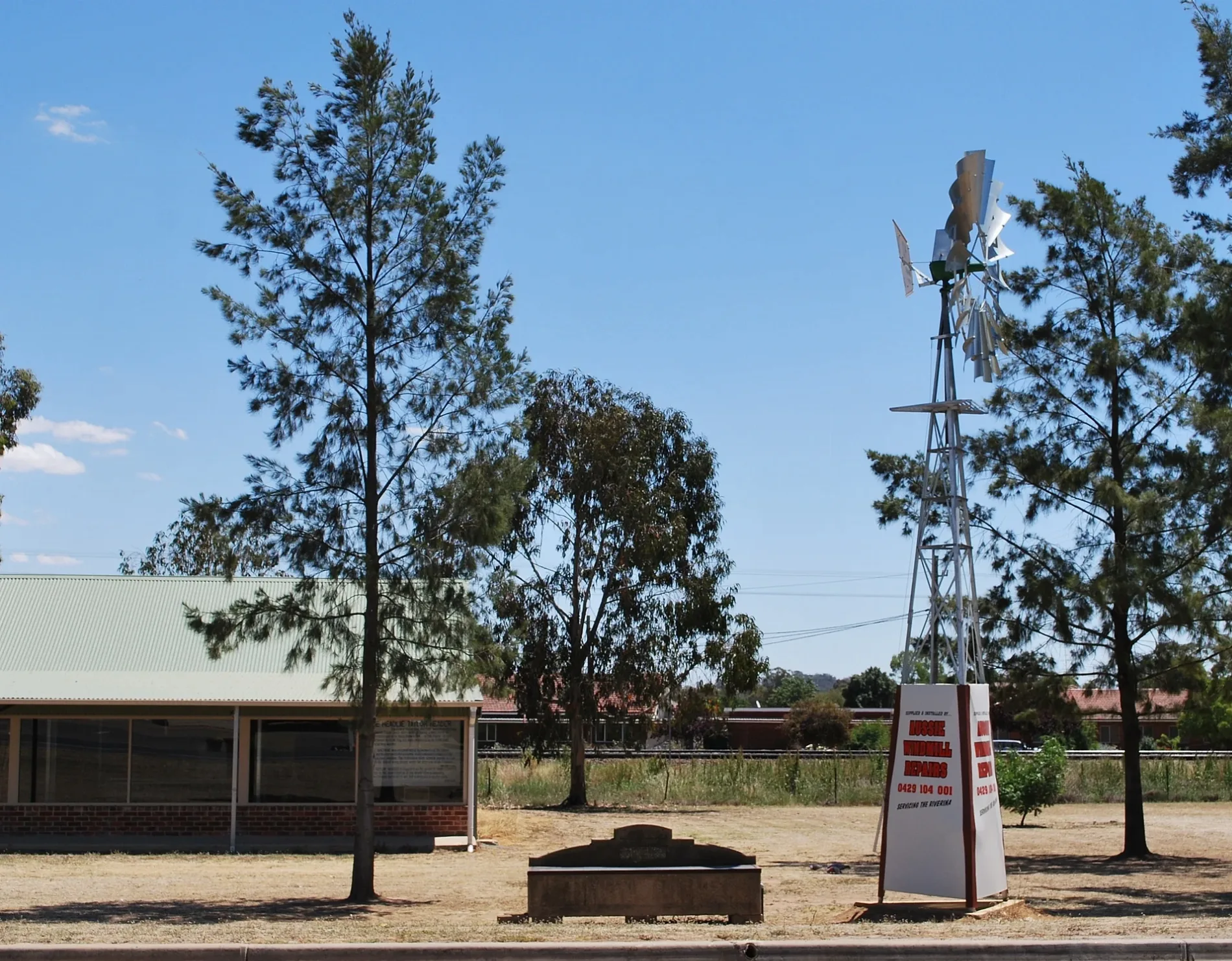
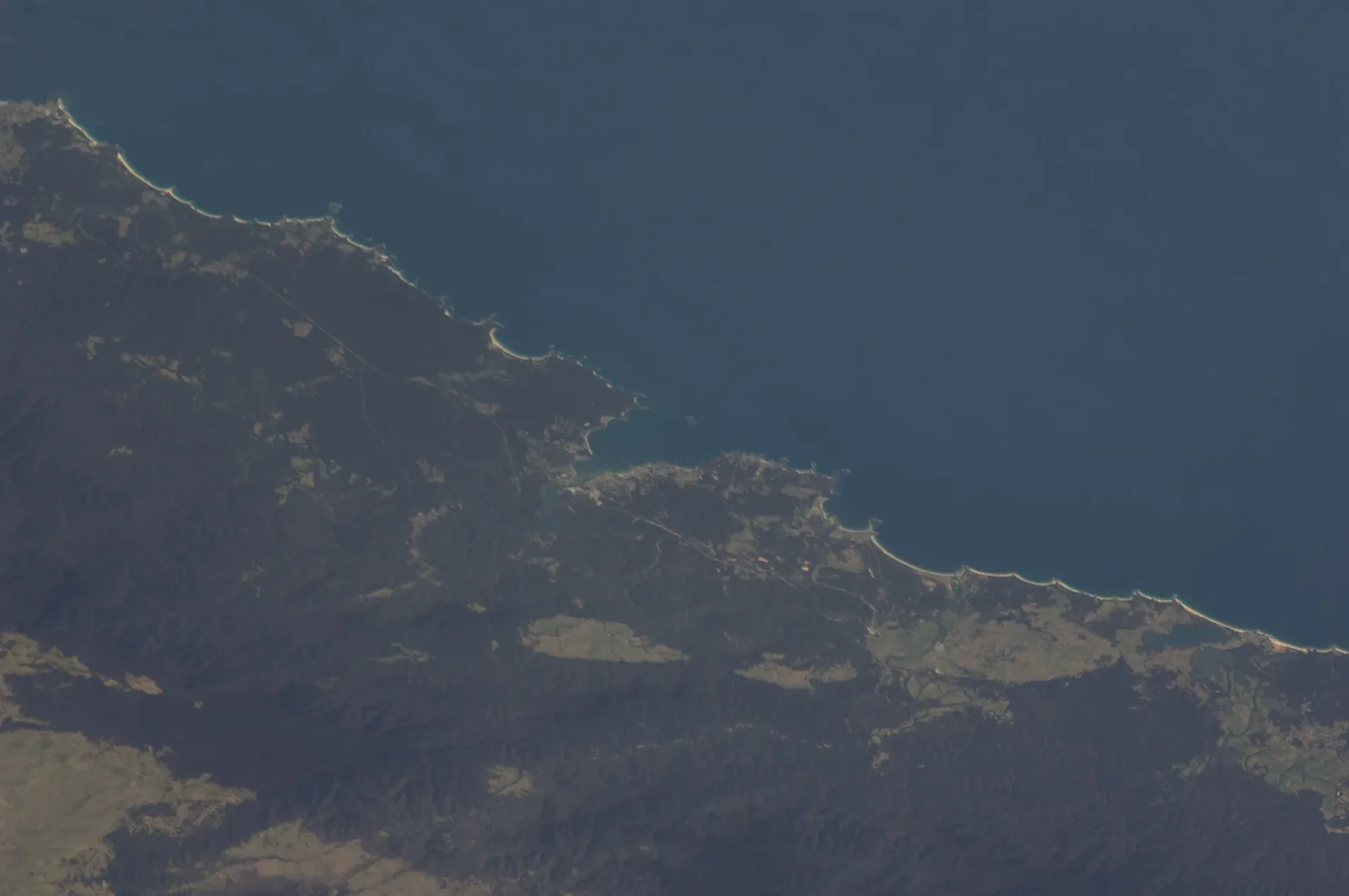
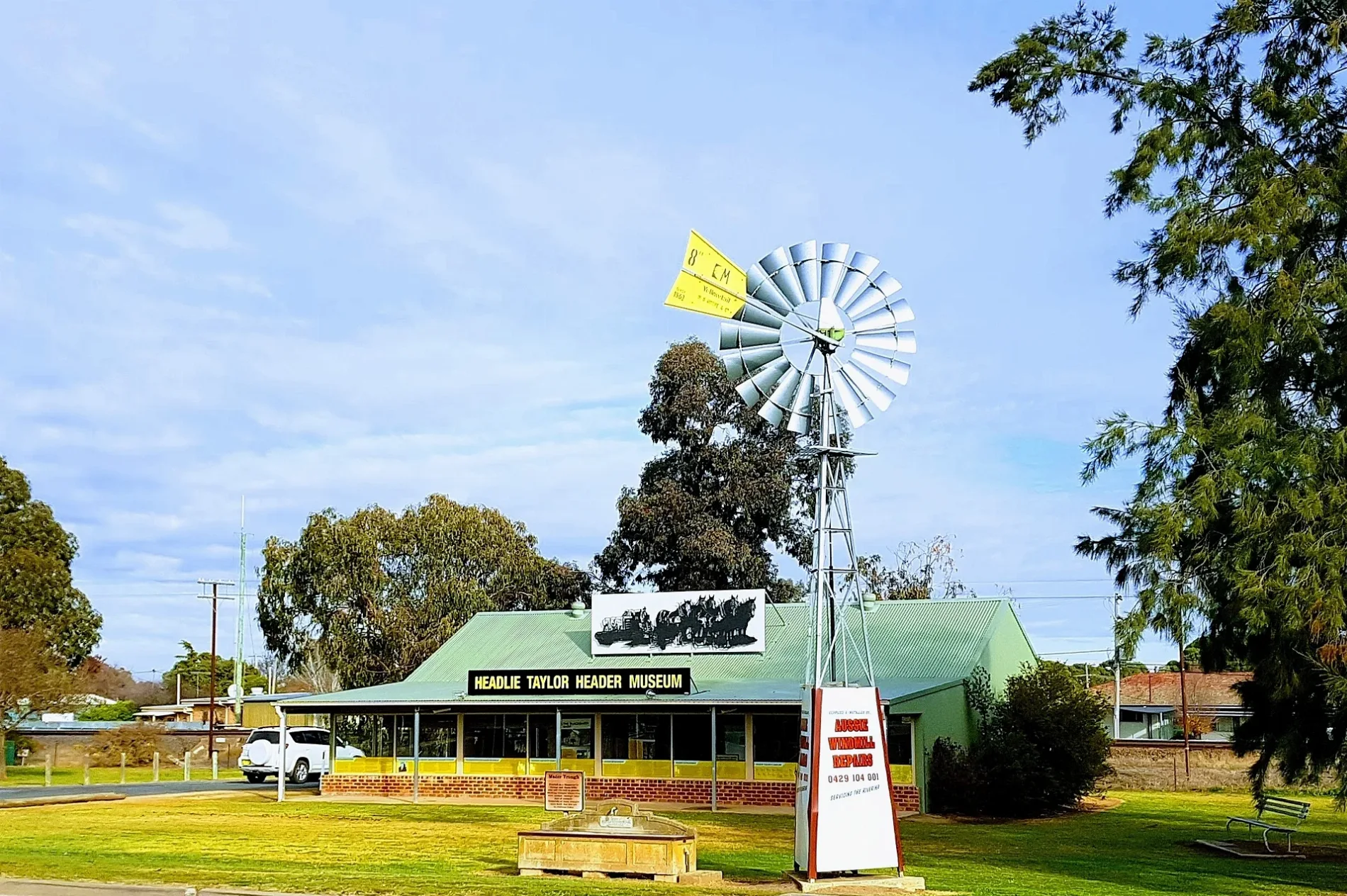
Roads in Henty
Roads
Sladen Street
Henty, Henty Pharmacy, Dales Hardware, Henty LPO, Dales IGA plus liquor, Dales IGA plus Liquor, Henty Library, Trav's Henty Butchery, Henty Bakery, The Vintage Coffee Shoppe, Dales Electrical, Patchwork Fabrics, Scrapbooking Gifts, Henty Collectibles, Quality Secondhand Dealer, Henty Funeral Service, Sladen Street Rail Level Crossing, Henty Craft & Book Shop, Platform 1, Henty
Railway ParadeHenty Rest Area, Fast & Ezy, Headlie Taylor Header Museum, Ed's Old Farm Machinery Museum
Olympic HighwayWelcome to Lockhart Shire, Welcome to Yerong Creek, Welcome to Greater Hume Council, Henty, Welcome to the Murray
Ivor StreetRiverlife Church, Henty
First StreetWeston Automotive Repairs, Judy's Bazaar
Grubben RoadGrubben Road Rail Level Crossing
Bartsch AvenueMyopa Retirement Village
Rosler ParadeRosler Parade Rail Level Crossing
Janetzkis LaneGrubben School Site
Henty Swamp Road
Kendalls Road
Angaston Road
Fourth Street
Kellys Road
Jerraluen Road
Edgehill Church Lane
West Showground Road
Allan Street
Heffernans Road
Lyne Street
Henty Cookardinia Road
Stein Road
Fox Street
First Avenue
Third Street
Orange Flat Lane
Henty-Walla Road
Crawleys Road
Third Avenue
Elm Street
Brackley Road
Kleemans Road
Graham Street
Listers Lane
Henty Pleasant Hills Road
South Street
Yankee Crossing Road
Hickory Hill Road
Mullers Road
Klemkes Road
Day Street
Stolzs Lane
Ashcrofts Road
Eulensteins Road
Second Avenue
Woods Road
Merri Meric Road
Spence Street
Edgehill Stock Route
Henty Ryan Road
Kreutzbergers Road
Smart Street
Richardsons RoadBanks
Buildings
Car repair shops
Cemeteries
Disused railways
Exhibition centres
Fire stations
Golf courses
Industrial areas
Landfills
Places of worship
Police stations
Railway lines
Retail buildings
Wetlands
Public transport map Henty Legend
| Railway | |
| Bus | |
| Tram |
Cycling map Henty Legend
| Cycle path | |
| Cycle lane on road | |
| Cycling on bus lane | |
| Bicycle street | |
| Cyclists allowed | |
| Cyclists allowed, good surface | |
| No cycling | |
| Cobblestones |
| Long-distance cycle route | (depending on scale) | |
| Long-distance cycle route |
Walking map Henty Legend
| Path |
| Long-distance hiking trail | (depending on scale) | |
| Long-distance hiking trail | ||
| No pedestrians |