
Cattai
Cattai is located in Hawkesbury City Council. About 790 people live here (as of 2016). Between 2016 and 2021, the population grew from 790 to 1,077. Cattai has around 69 streets. The postal codes are 2756. Cattai is suburb of Sydney, New South Wales, Australia. Among other things, Cattai has public transport.
Cattai – Facts
| Inhabitants | 790 |
|---|---|
| Located in | New South Wales, The Hills Shire, Maroota |
| Postal code | 2756 |
| Country | Australia |
Data source: Wikidata (CC0)
Photos from Cattai
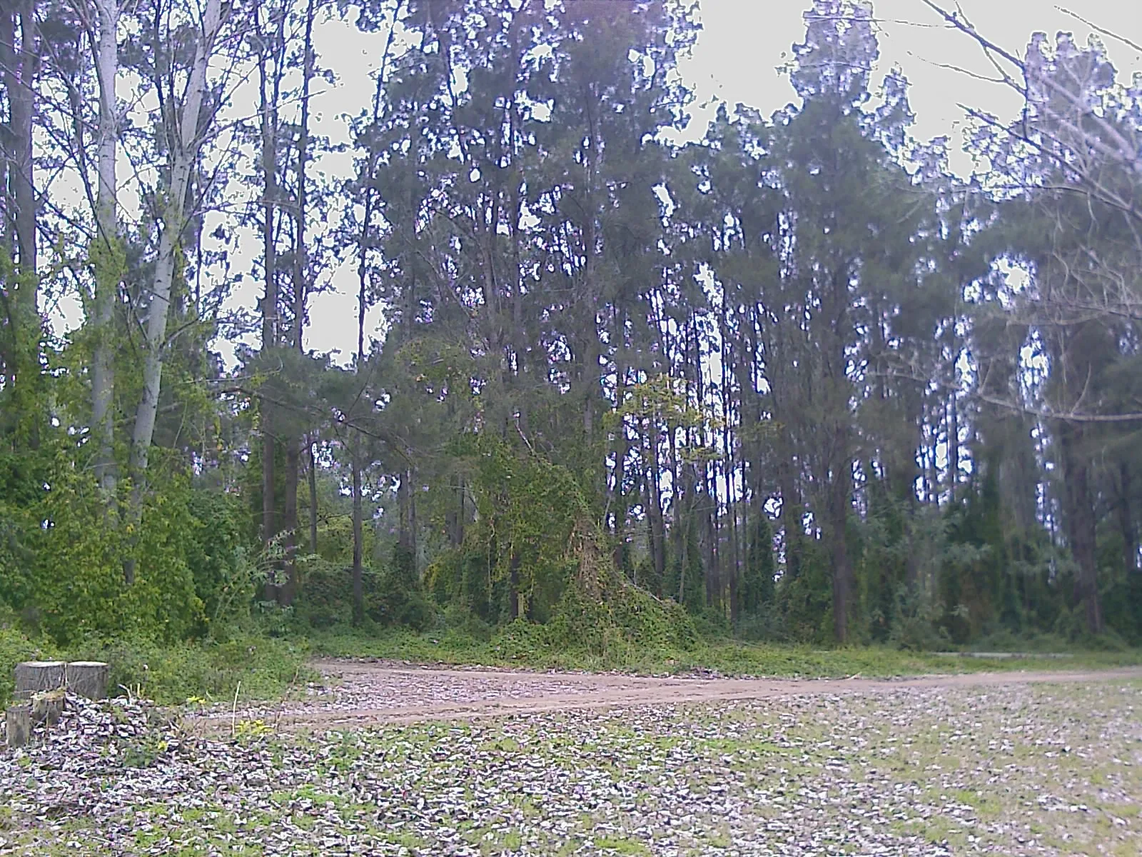
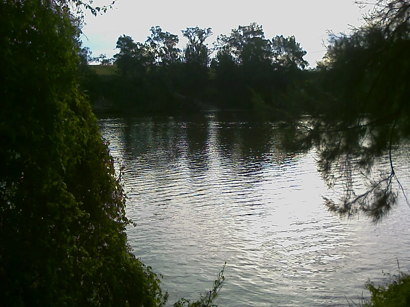
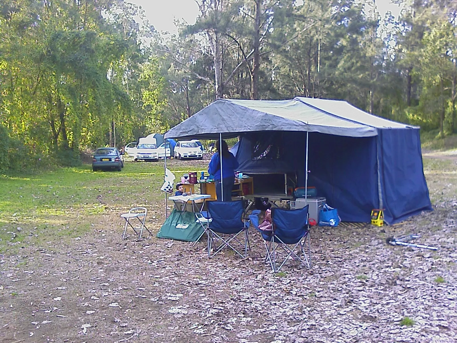
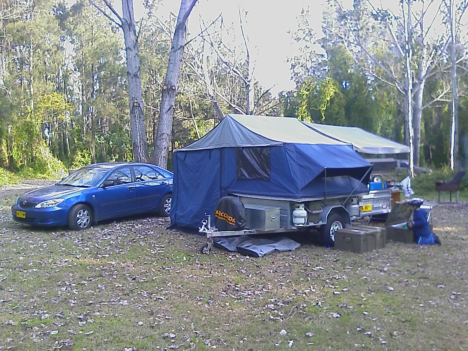
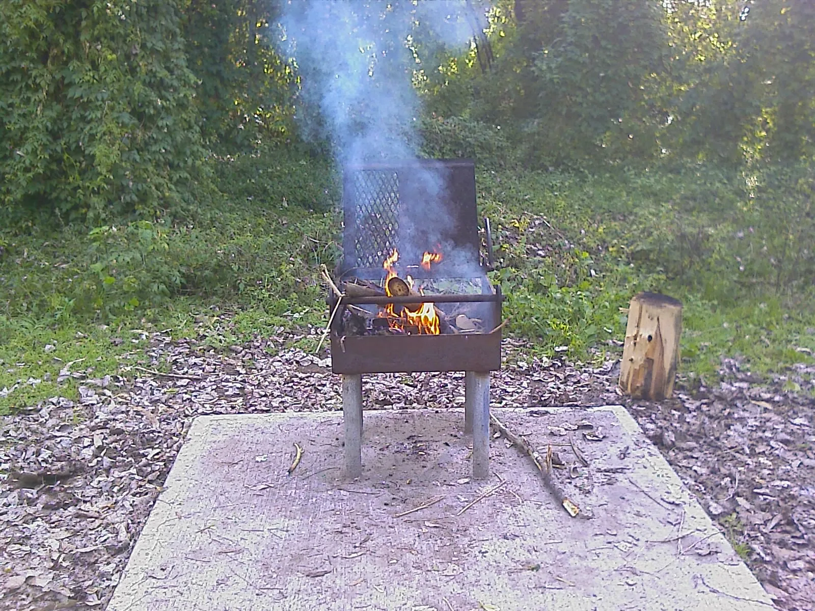
Roads in Cattai
Roads
Pebbly Hill Road
Old Post Office Road
Cheesmans Road
Halcrows Road
Pedal Boat Trail
Gully Forest Place
Black Bittern Way
Aristida Avenue
Nelson Road
Amphitheatre Trail
Jaceva Place
Correa Avenue
Themeda Place
Sugar Glider Drive
Hope Farm Road
Mitchell Park Road
Arndells Trail
Lakeland Road
River Froest Trail
O'Briens Road
Willows Park Grove
Wheeny Creek Road
Mill Trail
Wisemans Ferry Road
Wianamatta Circuit
Caddie Road
Smallwood Road
Threlkeld Drive
Reedy Road
Picnic Loop Trail
Cattai Road
Millers Road
Preston Close
Corella Place
Sandstone Heath Place
Dillwynia Avenue
Sandstone Place
Buildings
Campsite
Rivers
Streams
Wetlands
Public transport map Cattai Legend
| Railway | |
| Bus | |
| Tram |
Cycling map Cattai Legend
| Cycle path | |
| Cycle lane on road | |
| Cycling on bus lane | |
| Bicycle street | |
| Cyclists allowed | |
| Cyclists allowed, good surface | |
| No cycling | |
| Cobblestones |
| Long-distance cycle route | (depending on scale) | |
| Long-distance cycle route |
Walking map Cattai Legend
| Path |
| Long-distance hiking trail | (depending on scale) | |
| Long-distance hiking trail | ||
| No pedestrians |