
Wilberforce
Wilberforce is located in Hawkesbury City Council. About 3,007 people live here (as of 2016). Between 2016 and 2021, the population fell from 3,007 to 1,817. Wilberforce has around 156 streets. The postal codes are 2756. Wilberforce is town in New South Wales, Australia. Among other things, Wilberforce has public transport, hotels, restaurants, museums, hairdressers and pharmacies.
Wilberforce – Facts
| Inhabitants | 3007 |
|---|---|
| Located in | New South Wales, City of Hawkesbury |
| Postal code | 2756 |
| Country | Australia |
Data source: Wikidata (CC0)
Photos from Wilberforce


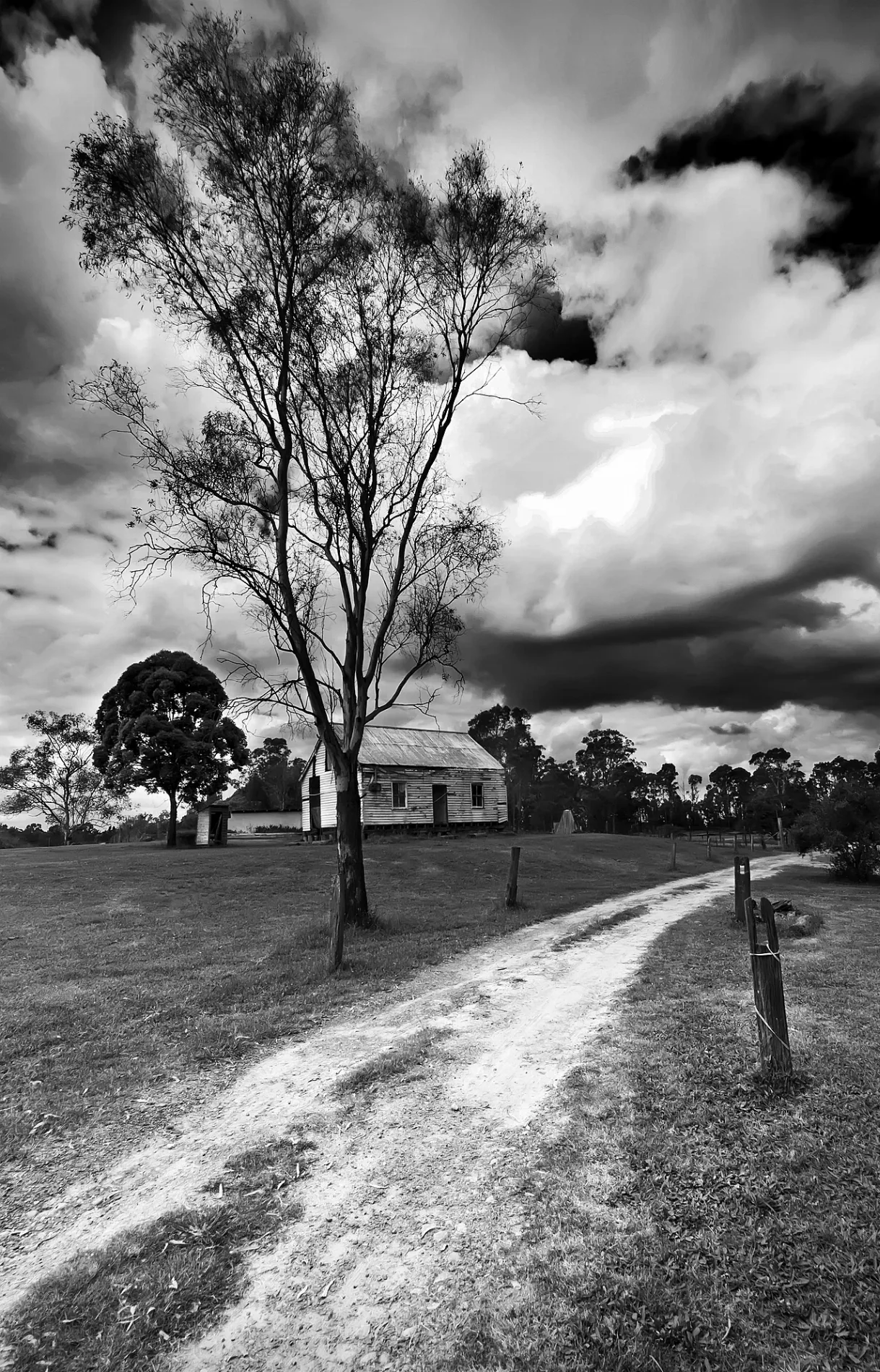
Roads in Wilberforce
Roads
Wilberforce Road
Wilberforce Rd Opp Millers Turf Farm, Millers Turf Wilberforce Rd, The Orange Spot, Wilberforce Rd, Wilberforce Rd Opp The Orange Spot, Wilberforce Rd Opp David St, Wilberforce Rd Opp Buttsworth Lane, Wilberforce Rd after David St, Go Carts And Butterfly Farm Wilberforce Rd, Go Carts and Butterfly Farm Wilberforce Rd, Wilberforce Rd after Buttsworth Lane
George RoadGeorge Rd opp Wilberforce Park, George Rd after Coburg Rd, George Rd before Coburg Rd, George Rd at Ascot Pl, Wilberforce Park, George Rd, George Rd opp Ascot Pl, Wilberforce Public School, George Rd, George Rd opp Wilberforce Public School
Coburg RoadCoburg Rd opp Turnbull Av, Coburg Rd after Turnbull Av, Coburg Rd after Old Sackville Rd, Coburg Rd before Old Sackville Rd, Coburg Rd opp Anne Pl, Coburg Rd at Anne Pl
Old Sackville RoadOld Sackville Rd before Beecroft Rd, Old Sackville Rd opp Copeland Rd, Old Sackville Rd at Castlereagh Rd, Old Sackville Rd opp Beecroft Rd, Old Sackville Rd before Church Rd, Old Sackville Rd after Church Rd
Macquarie RoadWilberforce Rural Fire Brigade, Hawkesbury Fire Control Centre
Mayne StreetWilberforce Charcoal Chicken
Rose StreetThe Heritage Hotel
Greentree Place
Stannix Park Lane
McMahons Road
Ti Tree Place
McKenzie Crescent
Salters Road
Castlereagh Road
Turnbull Avenue
Uworra Road
Burdekin Road
Kirra Place
Lock Road
Browns Road
King Street
Anne Place
Ascot Place
Geakes Road
Evans Road
Tallow Wood CloseGronos Point
Church Road
Buttsworth Lane
Argyle Reach Road
McKinnons Road
Kamrock Grove
Poidevin Lane
Beecroft Road
Bora Place
Clergy Road
Moles Road
Stewarts Lane
Rocky Hall Place
Grono Farm Road
Hawkins Place
Indy 800 Kart Track
Krahe Road
Copeland Road
Nartee Place
Duke Road
Earl Street
Manns Road
David StreetBuildings
Car repair shops
Cemeteries
Farmyards
Industrial areas
Industrial buildings
Nature reserves
Petrol stations
Places of worship
Residential areas
Sports pitches
Streams
Theme park
Veterinary practices
 Public transport map Wilberforce Legend
| Railway | |
| Bus | |
| Tram |
 Cycling map Wilberforce Legend
| Cycle path | |
| Cycle lane on road | |
| Cycling on bus lane | |
| Bicycle street | |
| Cyclists allowed | |
| Cyclists allowed, good surface | |
| No cycling | |
| Cobblestones |
| Long-distance cycle route | (depending on scale) | |
| Long-distance cycle route |
 Walking map Wilberforce Legend
| Path |
| Long-distance hiking trail | (depending on scale) | |
| Long-distance hiking trail | ||
| No pedestrians |