
Alt Street in Ashfield
Alt Street in Inner West Council is an asphalted residential street (50 km/h) and it runs in a northeast-southwest direction. In the vicinity, you can find 2 convenience stores and a medical supply shop. The nearest bus stop in the vicinity is Elizabeth St after Alt St (approx. 50 m away). Alt Street also exists in Haberfield.
- Road Type
- residential street
- Speed Limit
- 50
- Route
- northeast-southwest
Image
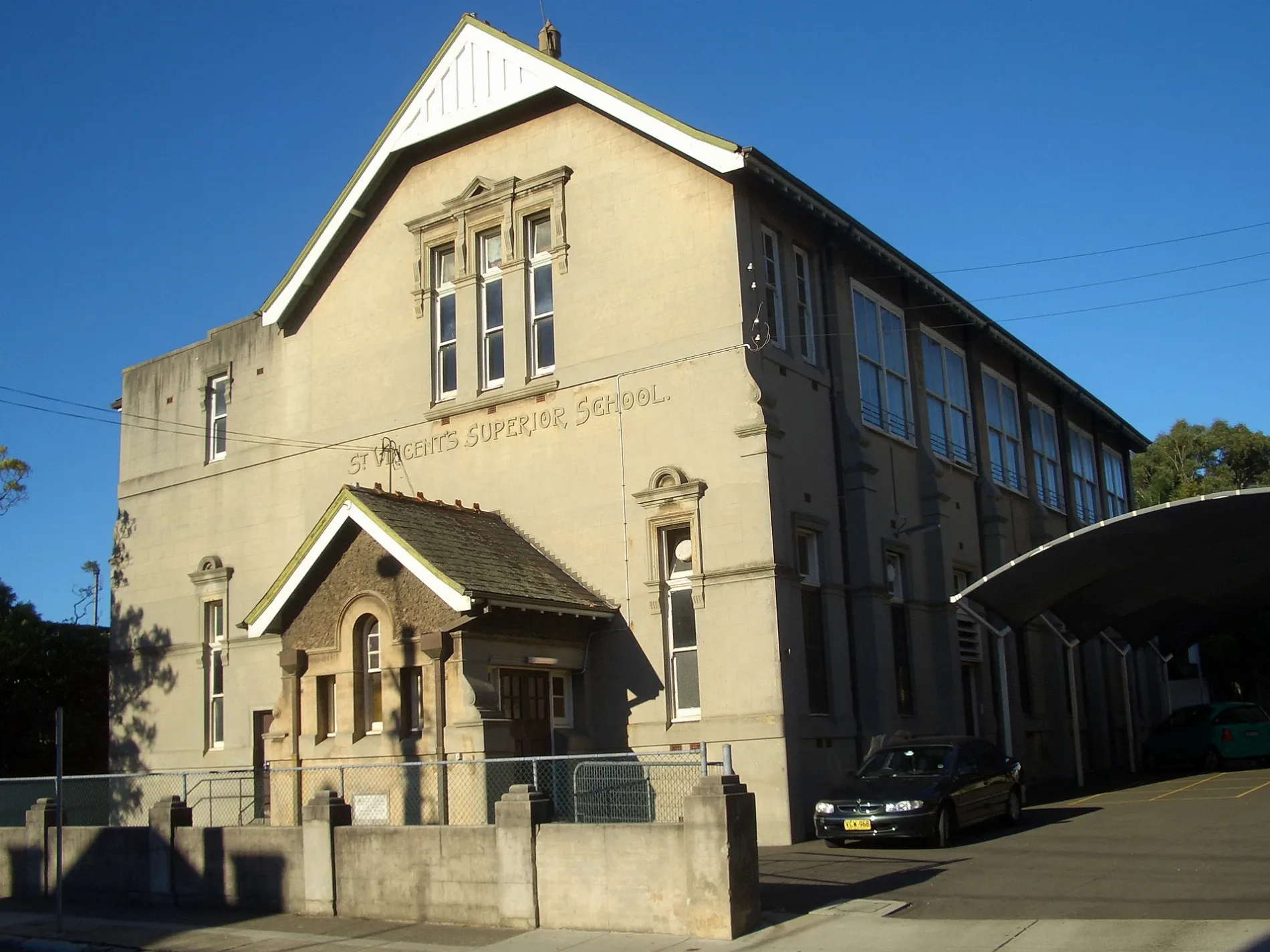
Roads nearby
Nixon Avenue150 m
Benalla Avenue200 m
Eccles Lane200 m
Cavill Avenue200 m
Markham PlaceMoment Tea
200 m
Markham LaneChiangmai Spa & Thai Massage
200 m
Eccles Avenue200 m
The Avenue200 m
Chessel LaneKujira, HuaXing Bakery, Rungchai M-60 Muay Thai, T Town Convenience
250 m
Elizabeth StreetReal Health Medical Centre, Elizabeth St after Bland St, Elizabeth St at Bland St, Ashfield Denture Clinic, Elizabeth St before Alt St, Elizabeth St after Alt St, Cathy's Vogue Hair Design, Sydney Funerals - Ashfield, Dr Chan, Ashfield Service Station, Indian Convenience Store, CHAHARI, Elizabeth St after Charlotte St, Elizabeth St at Charlotte St
350 m
Thomas Street350 m
Pound Lane350 m
Heighway Avenue350 m
Frederick StreetFrederick St after Parramatta Rd, Frederick St at Church St, Frederick St at John St, Frederick St at Banks St, Frederick St at Albert Pde, Frederick St after Elizabeth St, Frederick St before Elizabeth St, Frederick St at Henry St, Frederick St after Henry St, Power Crank
350 m
Mackay Street350 m
Lapish Avenue400 m
Miller Avenue400 m
Knox StreetWoolworths, PLC Sydney Preschools, BWS, N2 Dance Productions - Ashfield, Ashfield Presbyterian Church
400 m
Norton StreetKmart, mycar Tyre & Auto, Woolworths, Coles, ALDI, Optus, Pharmacy 4 Less, Kebab crush, Dollar D, Subway, KFC, Hair Colosseum, Mee the noodle house, Soul origin, Sushi naya, Pacific Smiles Ashfield, Farmers Fresh, Phoenix beauty, +61 mobiles, Vista currency exchange
400 m
Etonville Parade450 m
Beatrice Street450 m
Bastable Street500 m
Hugh Street500 m
Croydon RoadCroydon Rd after Sunbeam Av, Croydon Rd at Dalmar St, 2 Croydon road Croydon NSW 2132 Sydney, Victory Motorcycles
550 m
Railway Street550 m
Milton Street NorthArch Automatics, TQT Mechanical Repairs
550 m
Hordern Parade600 m
Walter Street600 m
Milton StreetMilton St opp Somerville Av, Milton St at Arthur St, Milton St opp Blackwood Av
650 m
Milton Lane650 m
Amenities nearby
Ashfield RSL500 m
Bookshops nearby
AB Books & Records500 m
Buildings nearby
Ashfield Exchange350 m
Cafés nearby
The Peaberry Cafe550 m
Car repair shops nearby
Jay Lee Motors600 m
Commercial buildings nearby
Lumina300 m
Drains nearby
Iron Cove Creek500 m
Parks nearby
Bill Peters Reserve250 m
Anthony Street Reserve500 m
Public buildings nearby
Ashfield Council400 m
Residential areas nearby
Fielders Green250 m
Ashlife400 m
Glenmore Gardens450 m
Shopping malls nearby
Ashfield Mall350 m
Sports centres nearby
Ashfield Aquatic Centre350 m
Swimming pools nearby
Indoor pool400 m
Outdoor leisure pooI400 m
Outdoor 50m olympic pool400 m
Outdoor program pool450 m
Public transport map Ashfield Legend
| Railway | |
| Bus | |
| Tram |
Cycling map Ashfield Legend
| Cycle path | |
| Cycle lane on road | |
| Cycling on bus lane | |
| Bicycle street | |
| Cyclists allowed | |
| Cyclists allowed, good surface | |
| No cycling | |
| Cobblestones |
| Long-distance cycle route | (depending on scale) | |
| Long-distance cycle route |
Walking map Ashfield Legend
| Path |
| Long-distance hiking trail | (depending on scale) | |
| Long-distance hiking trail | ||
| No pedestrians |