
Hordern Avenue in Petersham
Hordern Avenue in Inner West Council is a single-lane, asphalted residential street (50 km/h). There is no cycle path. It runs in a north-south direction and ends at Croydon Street, while the other end is a cul-de-sac.
- Road Type
- residential street
- Speed Limit
- 50
- Lanes
- 1
- Route
- north-south
Image
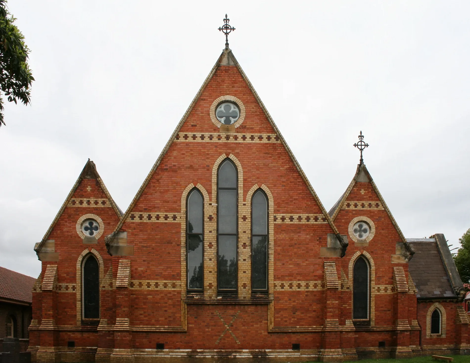
Places of worship
Florist's
Clothing shops
Dry cleaner's
Furniture shops
Hotels
Bus stops
Cafés
Houseware shops
Pubs
Platforms
Hairdressers
Stations
Roads nearby
Crydon Lane150 m
Burns Street150 m
Petersham StreetSock Drawer Heroes
150 m
Burns Lane150 m
Brighton StreetBrothers Ben, The Bistro at The PBC, Inner West Tool Library, Brothers Ben Atelier, Metropolitan Community Church
200 m
Westbourne Street200 m
Terminus Lane200 m
Westbourne Lane200 m
Crystal Lane West200 m
Robert Street200 m
Crystal StreetCrystal St after Douglas St, Wattle & Bee, Hair Strategy, A Grade Alterations, Petersham Town Hall Bicycle Parking, Crystal St at Queen St, Crystal St at Brighton St, Crystal St opp TAFE Petersham, Crystal St at Westbourne St
200 m
Croydon Street250 m
Elswick Street250 m
Petersham Lane250 m
Lorna Lane250 m
Kirkpatrick Lane250 m
Terminus StreetWhite Cockatoo Hotel
300 m
Palace Lane300 m
Crystal Street Railway Bridge300 m
Railway StreetTaverners Hill Infants School, Railway St
300 m
Fishers ReserveAdriana Florist
300 m
Stanley Lane300 m
York Crescent300 m
Stanley Street300 m
Budds Lane300 m
Carrington Place300 m
Trafalgar Street Crossing350 m
Norton Street350 m
Charles Street350 m
Renwick StreetCafein Bar
350 m
Trafalgar StreetGate A, Gate B, Petersham, Trafalgar St opp Petersham Station, Petersham RSL, Petersham Station, Trafalgar St
350 m
Rofe Street400 m
Renwick LaneBar Sport
400 m
Corunna Road400 m
Bruce Lane West400 m
Douglas StreetDouglas St opp Albany Rd, Stanmore Station, Douglas St, Stanmore Pharmacy, Stanmore, Hearthe by Christopher Thé, Douglas St at Albany Rd, L'uomo the Man
450 m
Parramatta RoadJura Books, Birkenstock Soul, The Whitehouse Hotel, Freita's Realty, Petersham Inn, China Doll Accessories, Parramatta Rd after Railway St, Rosewood Furniture City, Fort Street High School, Parramatta Rd, Cass Brothers, Parramatta Rd at Park St
450 m
Temple StreetRed Post Box, Payphone
450 m
Hughes Street450 m
Margaret Street450 m
Dot Lane450 m
Bruce Street450 m
Balmain RoadCrowbar, Balmain Rd at Derbyshire Rd, Balmain Rd opp Derbyshire Rd, Sydney Secondary College Leichhardt Campus, Balmain Rd
450 m
Merton Street500 m
Hay Street500 m
Parks nearby
Brighton Street Reserve250 m
Quinn Playground250 m
Residential buildings nearby
The Citadel Apartments450 m
Retail buildings nearby
Italian ForumLeichhardt Library
500 m
Public transport map Petersham Legend
| Railway | |
| Bus | |
| Tram |
Cycling map Petersham Legend
| Cycle path | |
| Cycle lane on road | |
| Cycling on bus lane | |
| Bicycle street | |
| Cyclists allowed | |
| Cyclists allowed, good surface | |
| No cycling | |
| Cobblestones |
| Long-distance cycle route | (depending on scale) | |
| Long-distance cycle route |
Walking map Petersham Legend
| Path |
| Long-distance hiking trail | (depending on scale) | |
| Long-distance hiking trail | ||
| No pedestrians |