
Marshall Lane in Petersham
Marshall Lane in Inner West Council is an asphalted service road and it runs in a southwest direction starting from Stanmore Road and ends at Newington Road. In the vicinity, there is a kindergarten. The nearest bus stop in the vicinity is Stanmore Station, Douglas St (approx. 450 m away).
- Road Type
- service road
- Route
- northeast-southwest
Image
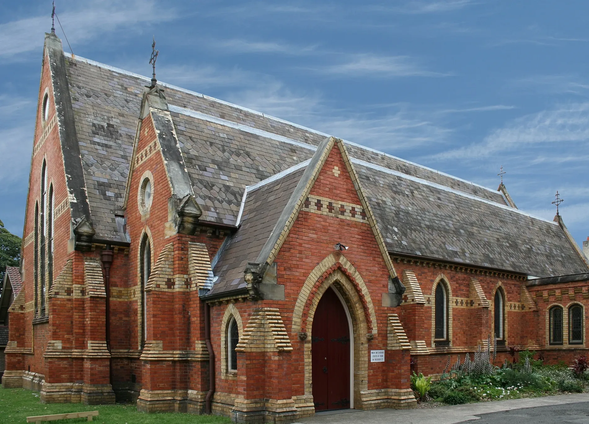
Kindergarten
Roads nearby
Marshall Street100 m
Stanmore RoadPublic House Petersham, Daisy's Milk Bar, BWS, Mayfair Fresh, Petvet, Leah Da Gloria, Inform Print, Family Practice, Zoom Productions, Newsagency Gallery, Paint Place, Hot Heads, One Art Studio, Laundry & Dry Clean
150 m
Middleton Street150 m
Denning Street150 m
Newington Road150 m
Merton Street150 m
Merton Lane150 m
John StreetArcella Fresh
200 m
Aubrey Street200 m
College Lane250 m
Bent Street250 m
Hopetoun Street300 m
Albert StreetLUNAS
300 m
Cavendish Street300 m
James Street300 m
Church StreetFirst Light Petersham
350 m
Gordon Crescent350 m
Chester StreetYẾN
400 m
Frederick StreetSuburgia
400 m
Shaw Street400 m
Crescent Lane400 m
Douglas StreetDouglas St opp Albany Rd, Stanmore Station, Douglas St, Stanmore Pharmacy, Stanmore, Hearthe by Christopher Thé, Douglas St at Albany Rd, L'uomo the Man
450 m
Bruce Street450 m
Bruce Lane East450 m
Trafalgar Street Crossing500 m
Stanley Lane500 m
Trafalgar StreetGate A, Gate B, Petersham, Trafalgar St opp Petersham Station, Petersham RSL, Petersham Station, Trafalgar St
500 m
York Crescent500 m
Stanley Street500 m
Douglas Lane500 m
Bruce Lane West500 m
Crystal Street Railway Bridge550 m
Terminus StreetWhite Cockatoo Hotel
550 m
Lorna Lane550 m
Temple StreetRed Post Box, Payphone
550 m
Crystal StreetCrystal St after Douglas St, Wattle & Bee, Hair Strategy, A Grade Alterations, Petersham Town Hall Bicycle Parking, Crystal St at Queen St, Crystal St at Brighton St, Crystal St opp TAFE Petersham, Crystal St at Westbourne St
600 m
Budds Lane600 m
Albany Road600 m
Amenities nearby
Marrickville Council Building450 m
Buildings nearby
Tupou College Centre150 m
Duckmanton Drama Centre200 m
Le Couter Building250 m
Old Chapel250 m
Chapels nearby
New Chapel200 m
Parks nearby
Maundrell Park200 m
Crammond Park350 m
Places of worship nearby
All Saints Anglican250 m
Sports pitches nearby
Basketball Court300 m
Town halls nearby
Petersham Town Hall400 m
Public transport map Petersham Legend
| Railway | |
| Bus | |
| Tram |
Cycling map Petersham Legend
| Cycle path | |
| Cycle lane on road | |
| Cycling on bus lane | |
| Bicycle street | |
| Cyclists allowed | |
| Cyclists allowed, good surface | |
| No cycling | |
| Cobblestones |
| Long-distance cycle route | (depending on scale) | |
| Long-distance cycle route |
Walking map Petersham Legend
| Path |
| Long-distance hiking trail | (depending on scale) | |
| Long-distance hiking trail | ||
| No pedestrians |