
John Street in Petersham
John Street in Inner West Council is a two-lane, asphalted residential street. There is no cycle path. It runs in a north-south direction and crosses Newington Road and ends at Addison Road, while the other end is a cul-de-sac. In the vicinity, there is a greengrocer. The nearest bus stop in the vicinity is Addison Rd at William St (approx. 50 m away). John Street also exists in Ashfield and Leichhardt.
- Bicycle
- yes
- Cycle Path
- no
- Road Type
- residential street
- Lanes
- 2
- Route
- north-south
Image
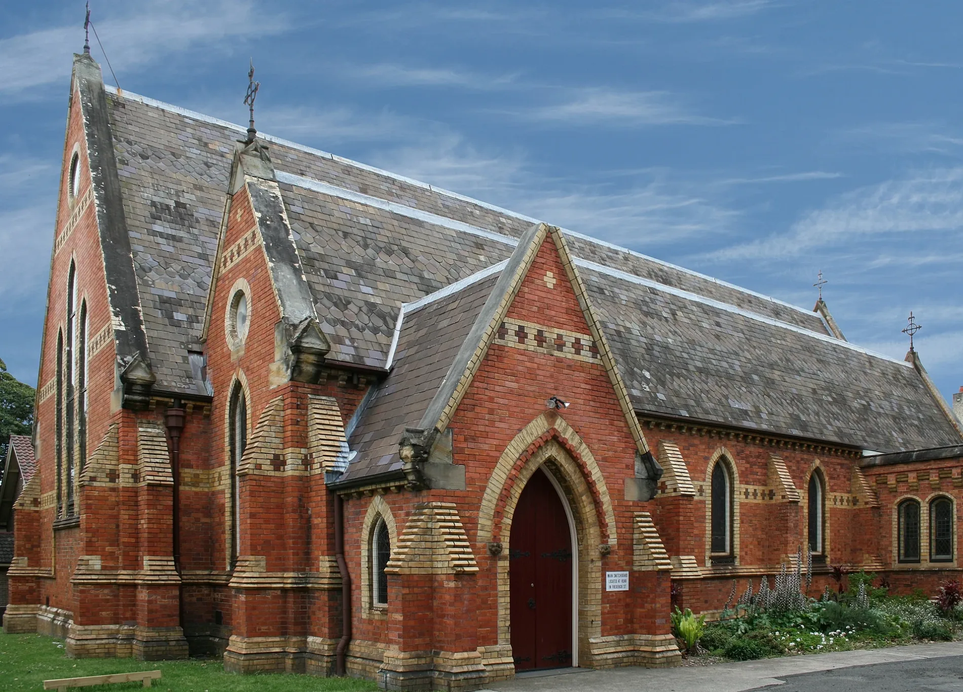
Greengrocers
Roads nearby
William Street100 m
Rose Street150 m
Middle Street200 m
Bright Street200 m
Coronation Avenue200 m
Essex Street200 m
Newington Road250 m
Albert StreetLUNAS
250 m
Denning Street250 m
Neville Street250 m
Norwood Lane300 m
Neville Lane300 m
Park Road300 m
Surrey Street300 m
James Street300 m
Middleton Street300 m
Gordon Square300 m
Marshall LaneGreek Orthodox childcare centre
400 m
Movember LaneStirrup Cafe
400 m
East Street400 m
Addison RoadAddison Rd opp Addison Road Community Centre, Addison Road Community Centre, Addison Rd, De Ganna Thai Street Cuisine, Addison Chinese Take Away, Addison Rd at William St, Addison Rd at Neville St, Gloworm Bicycles, Basiq Cafe, Addison Rd at Perry St, Addison Rd at Denby St, The Levantine, The Vic On The Park, Object & Ceramic Design, A1 Instant Printing
400 m
Marshall Street450 m
North Street450 m
Merton Street550 m
Merton Lane550 m
England Avenue550 m
Vivi Koutsounadis Dr550 m
Aubrey Street550 m
Stanmore RoadPublic House Petersham, Daisy's Milk Bar, BWS, Petvet, Leah Da Gloria, Inform Print, Perfume Head, Family Practice, Zoom Productions, Newsagency Gallery, Paint Place, Little Treasures Cafe, Petersham Old Wares, Choice Blinds & Shutters, Penny Farthing, Laundry & Dry Clean
550 m
College Lane600 m
Agar StreetGlow Worm Electric Bikes
650 m
Buildings nearby
AJ Rae Building450 m
Pyke Centre500 m
Tupou College Centre500 m
Duckmanton Drama Centre550 m
Le Couter Building600 m
Old Chapel600 m
Chapels nearby
New Chapel500 m
Furniture shops nearby
The Bower Co-Op Reuse and Repair Centre450 m
Outdoor seatings nearby
Sesquicentenary Courtyard450 m
Parks nearby
Maundrell Park450 m
Places of worship nearby
All Saints Anglican450 m
Playgrounds nearby
Amy Street450 m
Social facilities nearby
Addi Road Food Pantry500 m
Sports pitches nearby
Buchanan Oval550 m
Buchanan Oval 2550 m
Johnson Oval600 m
Old Boys Oval 2650 m
Theatres nearby
Sidetrack Theatre550 m
Public transport map Petersham Legend
| Railway | |
| Bus | |
| Tram |
Cycling map Petersham Legend
| Cycle path | |
| Cycle lane on road | |
| Cycling on bus lane | |
| Bicycle street | |
| Cyclists allowed | |
| Cyclists allowed, good surface | |
| No cycling | |
| Cobblestones |
| Long-distance cycle route | (depending on scale) | |
| Long-distance cycle route |
Walking map Petersham Legend
| Path |
| Long-distance hiking trail | (depending on scale) | |
| Long-distance hiking trail | ||
| No pedestrians |