
Sydenham
Sydenham is located in Inner West Council. About 1,145 people live here (as of 2016). Between 2016 and 2021, the population fell from 1,145 to 1,100. Sydenham has around 95 streets. The postal codes are 2044. Sydenham is suburb in Sydney, NSW, Australia. Among other things, Sydenham has public transport, cafés and hairdressers.
Sydenham – Facts
| Inhabitants | 1145 |
|---|---|
| Located in | New South Wales, Inner West, Marrickville Council, Petersham |
| Postal code | 2044 |
| Country | Australia |
Data source: Wikidata (CC0)
Photos from Sydenham
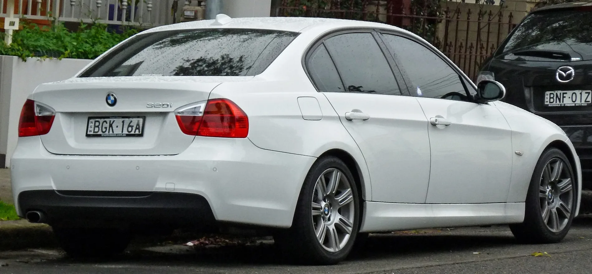
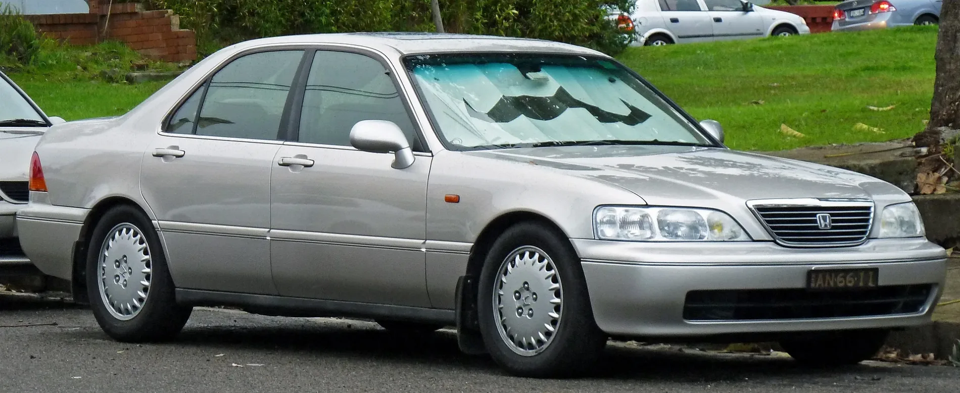
Roads in Sydenham
Roads
Bolton Street
Sydenham
Gleeson AvenueSydenham, EzyMart, Sydenham Station, Gleeson Av, Stand E
Railway RoadAustralian Martial Arts, Railway Rd opp Sydenham Green, Ho's Bakery & Cafe, Corner Store, Sydenham Green, Railway Rd, Sydenham Station, Burrows Av, Stand A
Henry Street
Princes HighwayPrinces Hwy at George St, Naturally Cane, Princes Hwy at Sutherland St
Rowe Lane
Hogan Avenue
George Street
Reilly Lane
Rowe Street
Stewart Lane
Wright Street
Railway Lane
Lee Lane
Hilton Avenue
Burrows AvenueSydenham, Tommy Black, Kiss and Ride
Frederick Street
Swain Street
Yelverton Street
Park LaneSydenham
Belmore Lane
Park Road
Unwins Bridge RoadSt Peters Library, Lookin Sharp Barbershop
M8 Motorway TunnelBicycle parkings
Buildings
Grass
Petrol stations
Railway lines
Railway stations
 Public transport map Sydenham Legend
| Railway | |
| Bus | |
| Tram |
 Cycling map Sydenham Legend
| Cycle path | |
| Cycle lane on road | |
| Cycling on bus lane | |
| Bicycle street | |
| Cyclists allowed | |
| Cyclists allowed, good surface | |
| No cycling | |
| Cobblestones |
| Long-distance cycle route | (depending on scale) | |
| Long-distance cycle route |
 Walking map Sydenham Legend
| Path |
| Long-distance hiking trail | (depending on scale) | |
| Long-distance hiking trail | ||
| No pedestrians |