
North Turramurra
North Turramurra is located in Ku-ring-gai Council. About 4,257 people live here (as of 2016). Between 2016 and 2021, the population fell from 4,257 to 4,194. The region lies at 165 metres above sea level. North Turramurra has around 222 streets. The postal codes are 2074. North Turramurra is locality in New South Wales, Australia. Among other things, North Turramurra has public transport, restaurants, cafés and supermarkets.
North Turramurra – Facts
| Inhabitants | 4257 |
|---|---|
| Elevation | 165 m |
| Located in | New South Wales, Municipality of Ku-ring-gai |
| Postal code | 2074 |
| Country | Australia |
Data source: Wikidata (CC0)
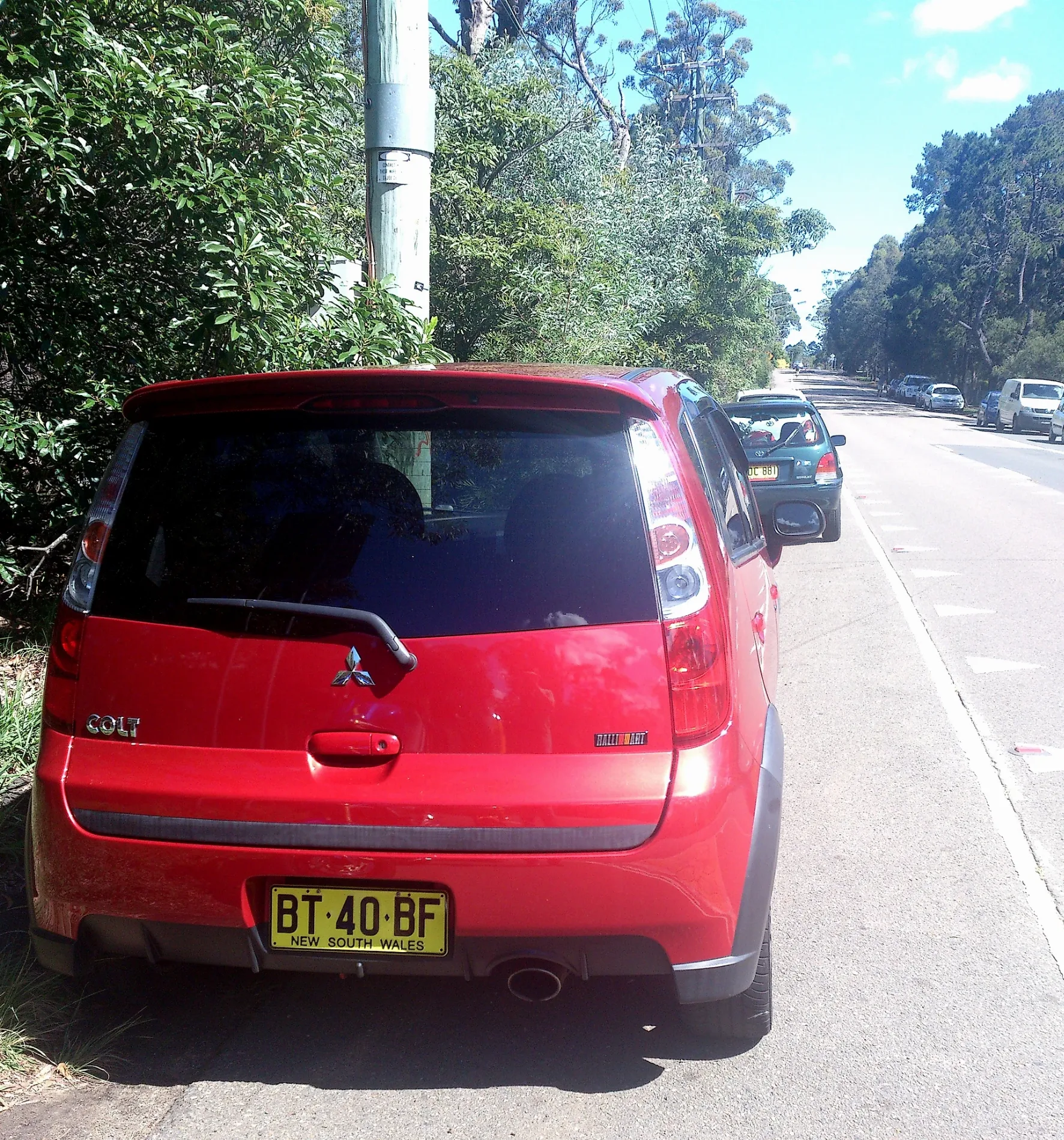
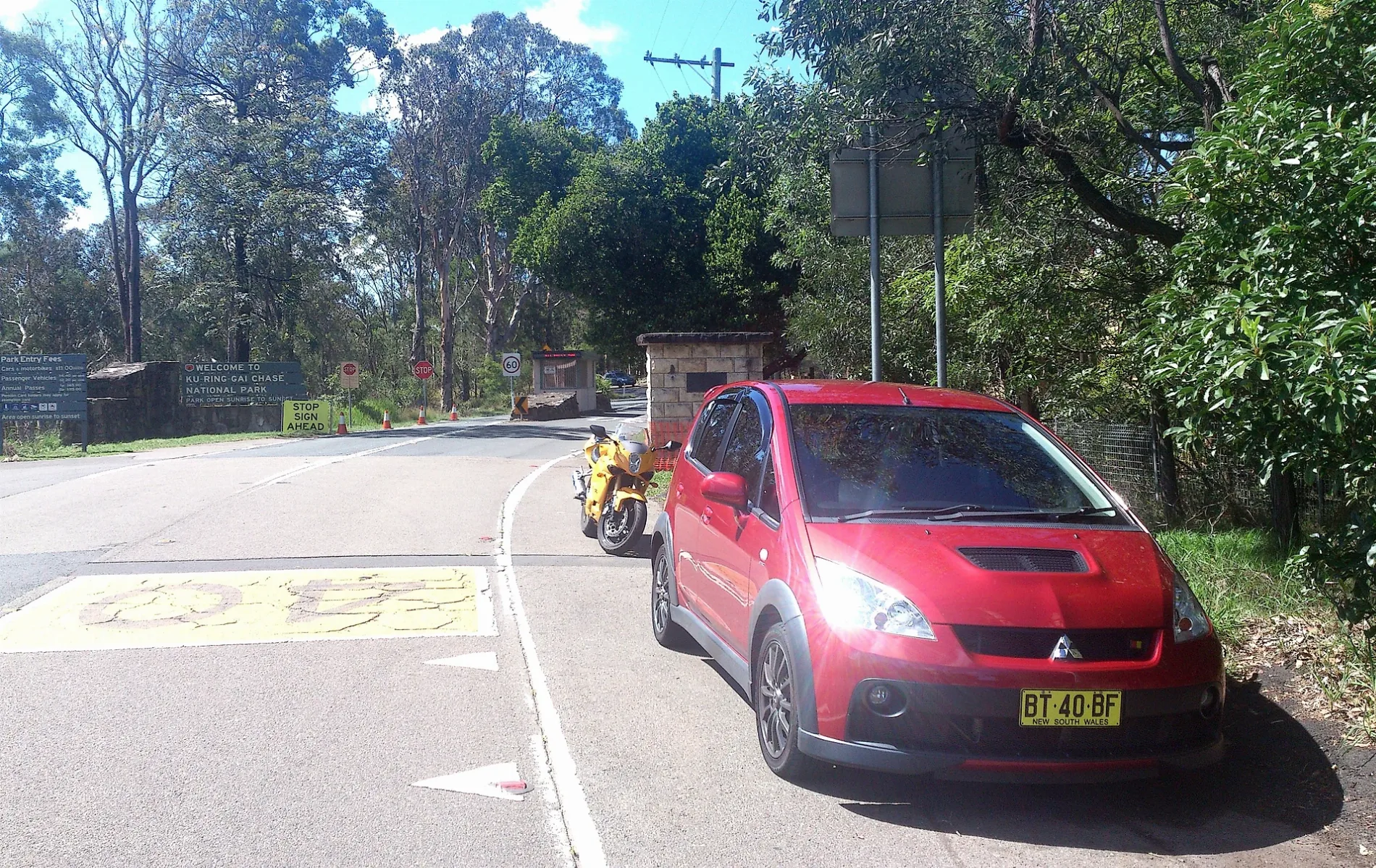
Photos from North Turramurra
Roads in North Turramurra
Roads
Bobbin Head Road
Samuel King Park, Bobbin Head Rd, Bobbin Head Rd opp Samuel King Park, Bobbin Head Rd at Banks Av, Bobbin Head Rd at Milton Rd, Bobbin Head Rd after Banks Av, Bobbin Head Rd before Milton Rd, Bobbin Head Rd opp Glengarry Av, Bobbin Head Rd after Glengarry Av, Bobbin Head Rd at Hartley Cl, Bobbin Head Rd opp Hartley Cl, Bobbin Head Rd, North Turramurra Golf Links, Southern Cross Residential Care, Bobbin Head Rd, North Turramurra Golf Links, Bobbin Head Rd, Bobbin Head Rd opp Southern Cross Nursing Home, Bus Stop Toilet, 03, 02, 01, 10, Huon Park Village, Bobbin Head Rd, Cotswolds Village, Bobbin Head Rd, Bobbin Head Rd opp Turramurra Bowling Club, Turramurra Bowling Club, Bobbin Head Rd, Church of Christ North Turramurra, Bobbin Head Rd, Bobbin Head Rd at Allara Av, Bobbin Head Rd opp Allara Av, Bobbin Head Rd at Keats Rd, Bobbin Head Rd opp Keats Rd, Chris's Family IGA, Turramurra Denture Studio, Bobbin Head Rd opp Turramurra North Public School, Turramurra North Public School, Bobbin Head Rd, Exclusive Meats, Donut Jam, Bobbin Head Rd opp Du Faur St, Ku-ring-gai Creative Arts High School, Bobbin Head Rd, North Turramurra, Curagal Playing Fields, Bobbin Head Rd, Bobbin Head Rd opp Ku-ring-gai Creative Arts High School
Murrua RoadMurrua Rd at Hopkins Pl, Princess Juliana Lodge, Murrua Rd
Sphinx TrackSphinx Track / Warrimoo Track, 01
Ku-Ring-Gai Chase Road02, 12
Normurra AvenueTWENTY74, Farina Pizzeria
Memorial Road03
McRae PlaceKu-ring-gai Recreational Tracks
Warrimoo TrackWaterside Bistro
Kirkpatrick StreetSandakan Park, Kirkpatrick St
Du Faur StreetDu Faur St opp Kirkpatrick St
McTaggart RoadMcTaggart Rd at Kirkpatrick St
Valley Park CrescentWoolworths Metro
Hopkins Place
Toms Pocket
Gibberagong Track
Rainforest Track
Glengarry Fire Trail
Sir Roden Cutler Crescent
Curagul Road
St Columbans Green
Miowera Road
Sphinx Trail
Deodara Gardens
Dryden Road
Stonecrop Road
Bannockburn Lane
Shelley Road
Lancaster Close
Murrua Trail
Bertrand Road
Murrua Fire Traillocked gate
Nagle Place
Apps Avenue
Camden Gardens
Jemimas Place
Buxton Place
Caribou Close
Hartley Close
Ellalong Road
Sir James Rowland Avenue
Sir Neville McNamara Drive
Allara Avenue
Gwydir Avenue
Sir Frederick Scherger Drive
Halifax Lane
Newton Place
Leura Crescent
Murrua Side Trail
Wellington Place
Jacombs TrailBody of waters
Buildings
Hospitals
Kindergartens
Petrol stations
Places of worship
Post offices
Recreation grounds
Residential areas
Retail buildings
Supermarkets
Woodlands
 Public transport map North Turramurra Legend
| Railway | |
| Bus | |
| Tram |
 Cycling map North Turramurra Legend
| Cycle path | |
| Cycle lane on road | |
| Cycling on bus lane | |
| Bicycle street | |
| Cyclists allowed | |
| Cyclists allowed, good surface | |
| No cycling | |
| Cobblestones |
| Long-distance cycle route | (depending on scale) | |
| Long-distance cycle route |
 Walking map North Turramurra Legend
| Path |
| Long-distance hiking trail | (depending on scale) | |
| Long-distance hiking trail | ||
| No pedestrians |