
Gwabegar Line in Ben Bullen
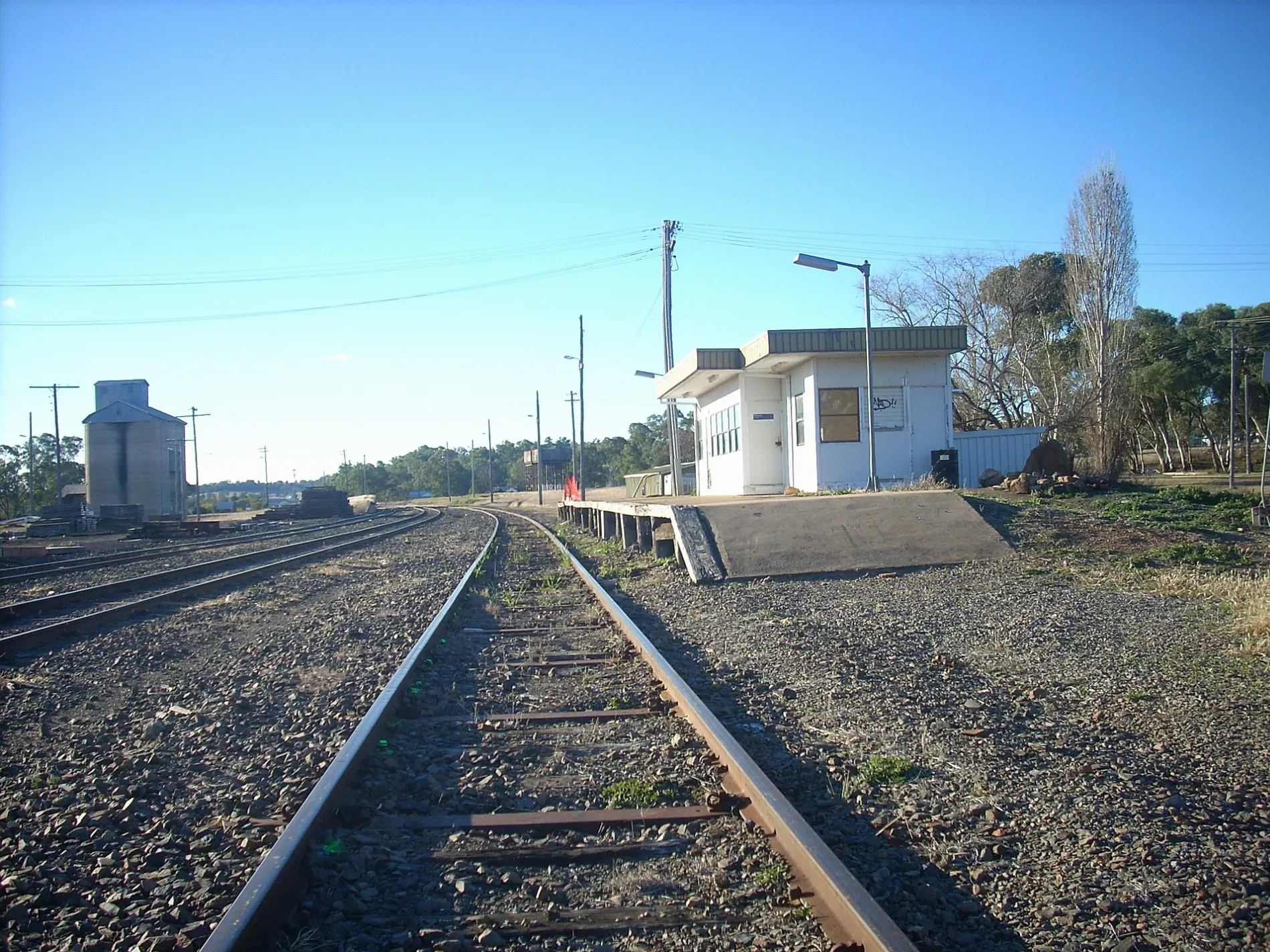
Gwabegar Line in Lithgow City Council is a railway line (1435 mm, branch line). The train route Golden West Rail Tour runs along this road. Gwabegar Line also exists in Capertee, Portland and Wallerawang. Ⓦ.
Image
Roads nearby
Hidden Trail1,3 km
Hutchinson Road1,9 km
Quarry RoadBen Bullen
2,0 km
Old Rowan Hole Road2,3 km
Rowan Hole Road3,0 km
Moffitt Trail3,1 km
Murdocks Creek Trail3,1 km
Castlereagh HighwayCastlereagh Highway Rail Level Crossing, Castlereagh Hwy after Quarry Rd, Castlereagh Hwy before Quarry Rd
3,2 km
Hilton Hut Trail3,5 km
Red Springs RoadRed Springs Road Rail Level Crossing
3,6 km
Baal Bone Point Scrambling Pass5,4 km
Airily Creek Trail5,8 km
Purdons Road6,5 km
Coats Rock Trail7,2 km
James StreetCullen Bullen
7,4 km
McCann Way7,6 km
Farley Street7,7 km
Crawford Street7,7 km
Watson Avenue7,7 km
King Street7,7 km
Pine Tree Avenue7,7 km
Carsons Siding Road7,8 km
Invincible Avenue7,8 km
Portland Cullen Bullen Road7,8 km
Old Cottage Road7,9 km
Buildings nearby
Ben Bullen1,5 km
Cullen Bullen Progress Association Hall7,5 km
Cemeteries nearby
Cullen Bullen Cemetery5,7 km
Convenience stores nearby
Cullen Bullen General Store7,5 km
Industrial areas nearby
Cullen Valley Mine (closed)3,7 km
Nature reserves nearby
Ben Bullen Public Reserve1,4 km
Parks nearby
Merve Crane Memorial Park7,6 km
Places of worship nearby
St Brendans7,3 km
Pubs nearby
Royal Hotel7,6 km
Railway lines nearby
Capertee Tunnel7,8 km
Sheds nearby
Baal Bone Junction2,5 km
Sports pitches nearby
Cullen Bullen Skate Park7,6 km
Streams nearby
Crown Ridge Creek4,2 km
Jews Creek4,3 km
Red Springs Creek4,6 km
Baal Bone Creek5,1 km
Murdocks Creek5,7 km
Crown Swamp Creek5,9 km
Coolamigal Creek6,5 km
Watch House Creek6,6 km
Dulhuntys Creek6,6 km
Ben Bullen Creek7,0 km
Alloway Creek7,3 km
Cullen Creek7,8 km
| Length | 431.7 |
|---|---|
| Country | Australia |
Public transport map Ben Bullen Legend
| Railway | |
| Bus | |
| Tram |
Cycling map Ben Bullen Legend
| Cycle path | |
| Cycle lane on road | |
| Cycling on bus lane | |
| Bicycle street | |
| Cyclists allowed | |
| Cyclists allowed, good surface | |
| No cycling | |
| Cobblestones |
| Long-distance cycle route | (depending on scale) | |
| Long-distance cycle route |
Walking map Ben Bullen Legend
| Path |
| Long-distance hiking trail | (depending on scale) | |
| Long-distance hiking trail | ||
| No pedestrians |