
McKeown's Valley Track in Jenolan
McKeown's Valley Track in Oberon Council is a path and it runs in a north-south direction.
- Road Type
- path
- Route
- north-south
Image
Tourist information offices
Chalet
Campsite
Roads nearby
Burma Road300 m
Mt George Firetrail400 m
Chifley Cave400 m
Jenolan Caves RoadGrand Arch, Jenolan Caves, Tickets and Guide Office, The Old Post Office, Mt Inspiration Lookout
550 m
Blue Lake Loop600 m
Six Foot Track650 m
Hydro Road1000 m
Gingkin Spur Trail2,1 km
Jenolan River Firetrail2,3 km
Oaky Camp TrailOaky Camp
2,5 km
Bulls Camp TrailKatoomba View Lookout
2,6 km
Information Bay3,1 km
Kanangra Walls Road3,1 km
Edith RoadForest Lodge Camp Ground
4,1 km
Warlock Fire Trail4,4 km
Warlock Ridge4,5 km
Stockyard Creek Trail4,8 km
Blood Filly Firetrail4,8 km
Mount Dunn Trail5,4 km
Terrace Creek Road5,8 km
Body of waters nearby
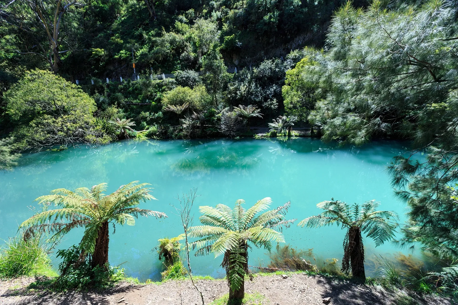
Blue Lake650 m
Buildings nearby
NSW Rural Fire Service Jenolan Caves350 m
Mountain View1,7 km
Forest Lodge4,2 km
Chalet nearby
Jenolan Caves Cottages3,0 km
Hotels nearby
Jenolan Caves House750 m
Industrial areas nearby
Jenolan Dam Power Station1,0 km
Ridges nearby
Binoomea Ridge450 m
Gingkin Spur1,3 km
Rivers nearby
Jenolan River1,2 km
Streams nearby
Camp Creek1,6 km
Surveyors Creek1,7 km
Pheasants Nest Creek1,9 km
Mckeons Creek2,5 km
Oaky Camp Gully2,7 km
Blackbutt Gully2,9 km
Big Oaky Creek3,2 km
Beautys Gully3,6 km
Cookes Gully3,6 km
Bulls Creek3,8 km
Spencers Creek4,4 km
Stockyard Creek4,5 km
Blood Filly Creek4,6 km
Council Creek4,6 km
Slithery Bull Gully4,9 km
Terrace Creek5,2 km
Spring Creek5,7 km
Navies Creek5,7 km
Other nearby
Jenolan Caves700 m
Public transport map Jenolan Legend
| Railway | |
| Bus | |
| Tram |
Cycling map Jenolan Legend
| Cycle path | |
| Cycle lane on road | |
| Cycling on bus lane | |
| Bicycle street | |
| Cyclists allowed | |
| Cyclists allowed, good surface | |
| No cycling | |
| Cobblestones |
| Long-distance cycle route | (depending on scale) | |
| Long-distance cycle route |
Walking map Jenolan Legend
| Path |
| Long-distance hiking trail | (depending on scale) | |
| Long-distance hiking trail | ||
| No pedestrians |