
Kite Street in Orange
Kite Street in Orange City Council is an asphalted residential street (40 km/h). The road consists of two separate carriageways. It runs in a east direction starting from Endsleigh Avenue and ends at Edward Street. This road is part of the bicycle route "Moulder Park Loop". In the vicinity, you can find among other things 2 cafés. The nearest stop in the vicinity is Orange Station, Platform 1 (approx. 100 m away). Kite Street also exists in City of Lake Macquarie, Cowra Shire Council and Penrith City Council.
- Road Type
- residential street
- Speed Limit
- 50
- Route
- east-west
Image
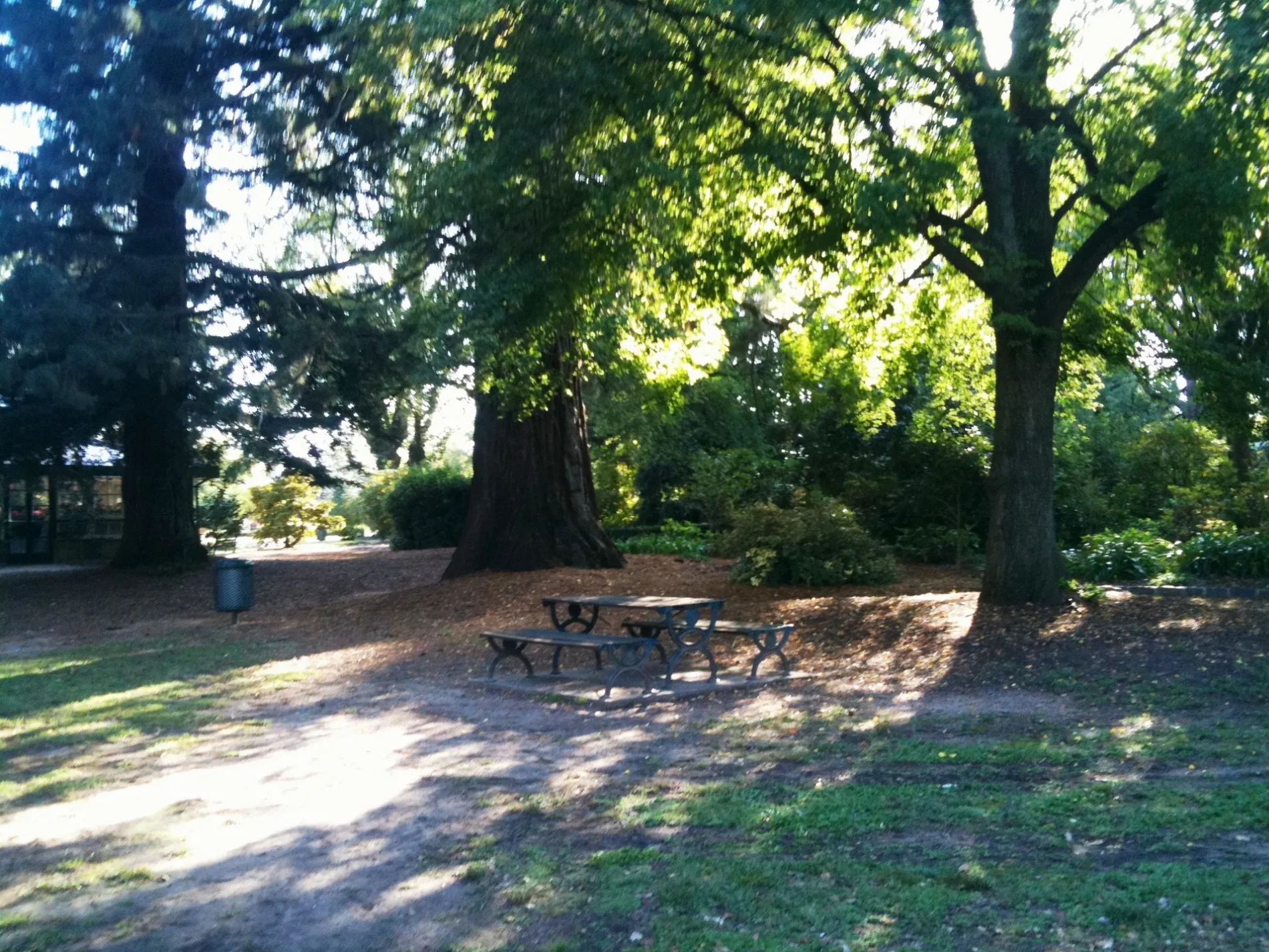
Cafés
Roads nearby
Peisley StreetUnited, Pie Face, Warrendine, Shell, Yamaha, Harley-Davidson, 18 Peisley St, 25 Peisley St, Mackie's Cafe, Orange Station, Platform 1, Peisley St opp Orange Station, Orange Station, Coach Bay 1, Orange Station, Coach Bay 3, Peisley St after Matthews Av, Peisley St at Margaret St, Frame Effect, Bridgestone, 58 Points, "C" Frame, BP OPT Orange, Australian Native Landscapes
200 m
Endsleigh AvenuePrintflow
200 m
New Street250 m
Summer StreetSummer Street / Mitchell Highway Rail Level Crossing, Canobolas Holden, "B" Frame, Victoria Hotel, Summer St at Endsleigh Av, Summer St opp Cook Park, Canton Chinese Restaurant, Stan's Food Bar, Revive Furniture and Decor, Birdie, Tesla Supercharger, Summer Centre, Summer St, Cotton On, Summer St before Lords Pl, Summer St at Sale St, Summer St after Woodward St, Orange City Centre, Summer St, The Common Terrace Thai Restaurant, Summer St opp Endsleigh Av, The Central Caleula Motor Lodge, Summer Street Vet, Zona, Summer St opp Robertson Park, Royal Hotel
250 m
William Street300 m
Mazoudier Place300 m
McLachlan StreetMcLachlan St at Dora St, Bathurst Rd before Icely Rd, McLachlan St before Margaret St, McLachlan St at Margaret St, McLachlan St before Bletchington St, Café Java, Laundry Lounge, Bad Burgers Fish N Chips, Splash of Orange
300 m
McNamara Street300 m
Summer Street EastFive Ways Uniting Church, Orange East Post Office, Bill's Beans
300 m
Icely RoadIcely Rd opp Paling St
350 m
Moulder StreetMoulder St at McNamara St, Moulder St at Trinity Pl, Moulder St opp Trinity Pl, Orange Public School, Moulder St, Moulder St before Woodward St, Moulder St at Kenna St, Crowne Hotel
450 m
Mulberry Lane450 m
Edward StreetEdward St at Caroline St, Edward St at Warrendine St, Edward St at Moulder St, Edward St before Caroline St, Edward St before Churchill Av, Edward St after Churchill Ave
450 m
Ellard Street450 m
Eyles Street500 m
Allenby Road550 m
Warrendine StreetMoulder Park, Warrendine St, Warrendine St after Anson St
550 m
Palmer Street650 m
Little Warrendine Street700 m
Bakeries nearby
Orange French Hot Bread300 m
Banks nearby
Orange Credit Union300 m
Buildings nearby
UGL Regional Linx150 m
Bowen Terrace200 m
Thrive Advice250 m
Salvation Army300 m
Car parts shops nearby
Burson Auto Parts550 m
Commercial buildings nearby
TAB300 m
Farm supplies shops nearby
The Rural Centre Pty Ltd400 m
Fast food restaurants nearby
Hungry Jack's150 m
Guzman y Gomez150 m
Oporto450 m
Hotels nearby
Great Western Hotel200 m
Hotel Orange300 m
Massage parlours nearby
Phyz X Orange Clinic450 m
Parks nearby
Colvin Park250 m
Memory Park450 m
Petrol stations nearby
EG Australia250 m
Platforms nearby
Orange Station, Platform 1150 m
Railway lines nearby
Main Western Line250 m
Recreation grounds nearby
Wade Park350 m
Restaurants nearby
Pizza Hut250 m
Bodhi's Garden250 m
Chopsticks Take Away300 m
Sports centres nearby
Orange Ex-Services Tennis Complex550 m
Stations nearby
Orange Station150 m
Streams nearby
East Orange Creek400 m
Studios nearby
ABC Central West350 m
Supermarkets nearby
Aldi250 m
Veterinary practices nearby
Canobolas Family Pet Hospital300 m
Public transport map Orange Legend
| Railway | |
| Bus | |
| Tram |
Cycling map Orange Legend
| Cycle path | |
| Cycle lane on road | |
| Cycling on bus lane | |
| Bicycle street | |
| Cyclists allowed | |
| Cyclists allowed, good surface | |
| No cycling | |
| Cobblestones |
| Long-distance cycle route | (depending on scale) | |
| Long-distance cycle route |
Walking map Orange Legend
| Path |
| Long-distance hiking trail | (depending on scale) | |
| Long-distance hiking trail | ||
| No pedestrians |