
William Street in Orange
William Street in Orange City Council is a two-lane, asphalted secondary road (50 km/h). It runs in a north-south direction and crosses Bathurst Road, Summer Street and Dora Street. William Street also exists in Inner West Council, City of Sydney, Canterbury-Bankstown Council, Northern Beaches Council and Greater Hume Shire Council.
- Road Type
- secondary road
- Speed Limit
- 50
- Lanes
- 1
- Route
- north-south
Image
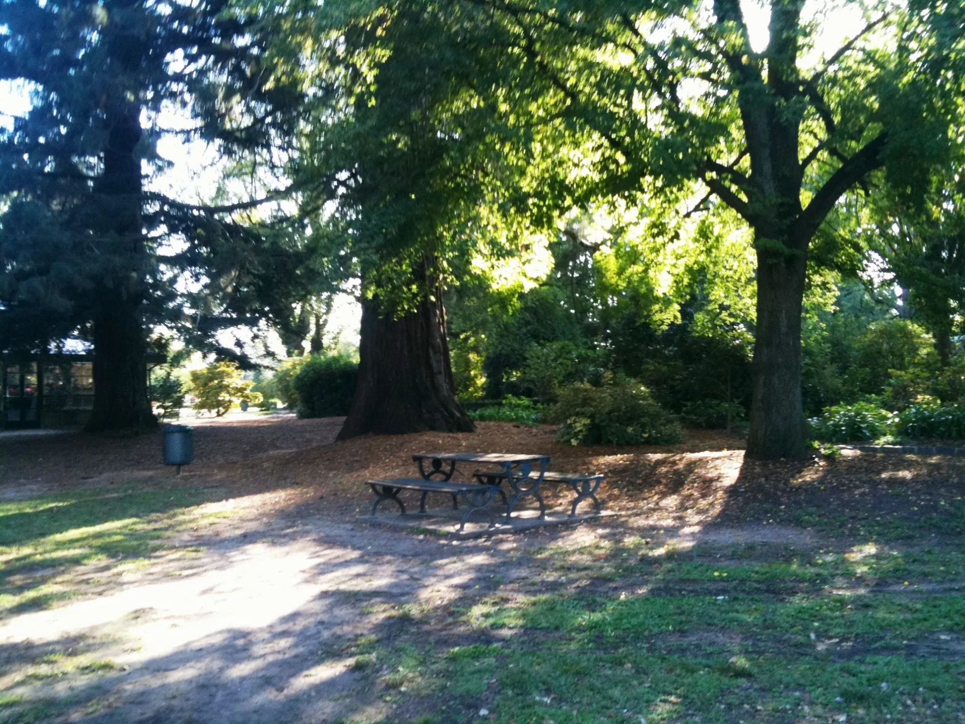
Car dealerships
Restaurants
Pubs
Platforms
- bus lines 532, 582
Bus stops
- bus lines 532, 582
Cafés
Places of worship
Convenience stores
Post offices
Roads nearby
Endsleigh AvenuePrintflow
50 m
Summer StreetSummer Street / Mitchell Highway Rail Level Crossing, Canobolas Holden, "B" Frame, Victoria Hotel, Summer St at Endsleigh Av, Summer St opp Cook Park, Canton Chinese Restaurant, Stan's Food Bar, Revive Furniture and Decor, Birdie, Tesla Supercharger, Summer Centre, Summer St, Cotton On, Summer St before Lords Pl, Summer St at Sale St, Summer St after Woodward St, Orange City Centre, Summer St, The Common Terrace Thai Restaurant, Summer St opp Endsleigh Av, The Central Caleula Motor Lodge, Summer Street Vet, Zona, Summer St opp Robertson Park, Royal Hotel
100 m
Dora Street200 m
Byng StreetByng Street Rail Level Crossing, Byng Street Cafe & Local Store, Gong Thai, The Union Bank, Orange Civic Theatre, Orange Regional Museum, Groundstone, The White Place, Macquarie Medi Spa
300 m
Peisley StreetUnited, Pie Face, Warrendine, Shell, Yamaha, Harley-Davidson, 18 Peisley St, 25 Peisley St, Mackie's Cafe, Orange Station, Platform 1, Peisley St opp Orange Station, Orange Station, Coach Bay 1, Orange Station, Coach Bay 3, Peisley St after Matthews Av, Peisley St at Margaret St, Frame Effect, Bridgestone, 58 Points, "C" Frame, BP OPT Orange, Australian Native Landscapes
300 m
Kite StreetFactory Espresso, Bullets & Bits, Ever Coffee Roasters
300 m
McNamara Street400 m
Colvin LaneBig W, The Reject Shop
500 m
Lords PlaceLords Pl opp Holly Pl, Lords Pl at Holly Pl, Lords Place Thai Restaurant, Good Eddy, Overlander Indian Restaurant, DG Cycles, Orange City Council, Orange Eye Centre
550 m
Bakeries nearby
Village Bakehouse200 m
Orange French Hot Bread250 m
Banks nearby
Orange Credit Union300 m
Bicycle shops nearby
Ron Boulton Cycles400 m
Buildings nearby
Bowen Terrace100 m
Strand Theatre250 m
UGL Regional Linx250 m
Morgans250 m
Salvation Army350 m
Need A Nerd500 m
Car repair shops nearby
Beaurepaires350 m
Cinemas nearby
Odeon400 m
Commercial buildings nearby
TAB300 m
Courthouses nearby
Orange Court House500 m
Fast food restaurants nearby
Guzman y Gomez100 m
Hungry Jack's150 m
Hardware shops nearby
Tate's Plumbing Plus300 m
Renshaw and Co. Irrigation400 m
Hotels nearby
Hotel Orange200 m
Great Western Hotel350 m
Royal Hotel500 m
Music shops nearby
Lander's Music300 m
Parks nearby
Robertson Park350 m
Petrol stations nearby
EG Australia50 m
Platforms nearby
Orange Station, Platform 1350 m
Pubs nearby
Hotel Canobolas400 m
Railway lines nearby
Main Western Line150 m
Restaurants nearby
Bodhi's Garden100 m
Chopsticks Take Away250 m
Dum Dum Dumplings250 m
Mr Lim Korean BBQ and Chinese Cuinse300 m
Retail buildings nearby
Inkability350 m
Shopping malls nearby
Orange Central Square550 m
Stationery shops nearby
Officeworks350 m
Stations nearby
Orange Station300 m
Supermarkets nearby
Ashcroft Supa IGA250 m
Aldi300 m
Tobacconist's nearby
TSG250 m
Tyre shops nearby
Jax Tyres & Auto450 m
Veterinary practices nearby
Canobolas Family Pet Hospital100 m
Public transport map Orange Legend
| Railway | |
| Bus | |
| Tram |
Cycling map Orange Legend
| Cycle path | |
| Cycle lane on road | |
| Cycling on bus lane | |
| Bicycle street | |
| Cyclists allowed | |
| Cyclists allowed, good surface | |
| No cycling | |
| Cobblestones |
| Long-distance cycle route | (depending on scale) | |
| Long-distance cycle route |
Walking map Orange Legend
| Path |
| Long-distance hiking trail | (depending on scale) | |
| Long-distance hiking trail | ||
| No pedestrians |