
Kingswood
Kingswood is located in Penrith City Council. About 9,301 people live here (as of 2016). Between 2016 and 2021, the population fell from 9,301 to 980. Kingswood has around 426 streets. The postal codes are 2747. Kingswood is suburb of Sydney, New South Wales, Australia. Among other things, Kingswood has public transport, restaurants, cafés and supermarkets.
Kingswood – Facts
| Inhabitants | 9301 |
|---|---|
| Located in | New South Wales, City of Penrith |
| Postal code | 2747 |
| Country | Australia |
Data source: Wikidata (CC0)
Photos from Kingswood
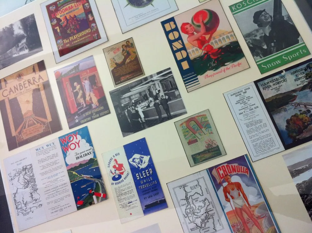
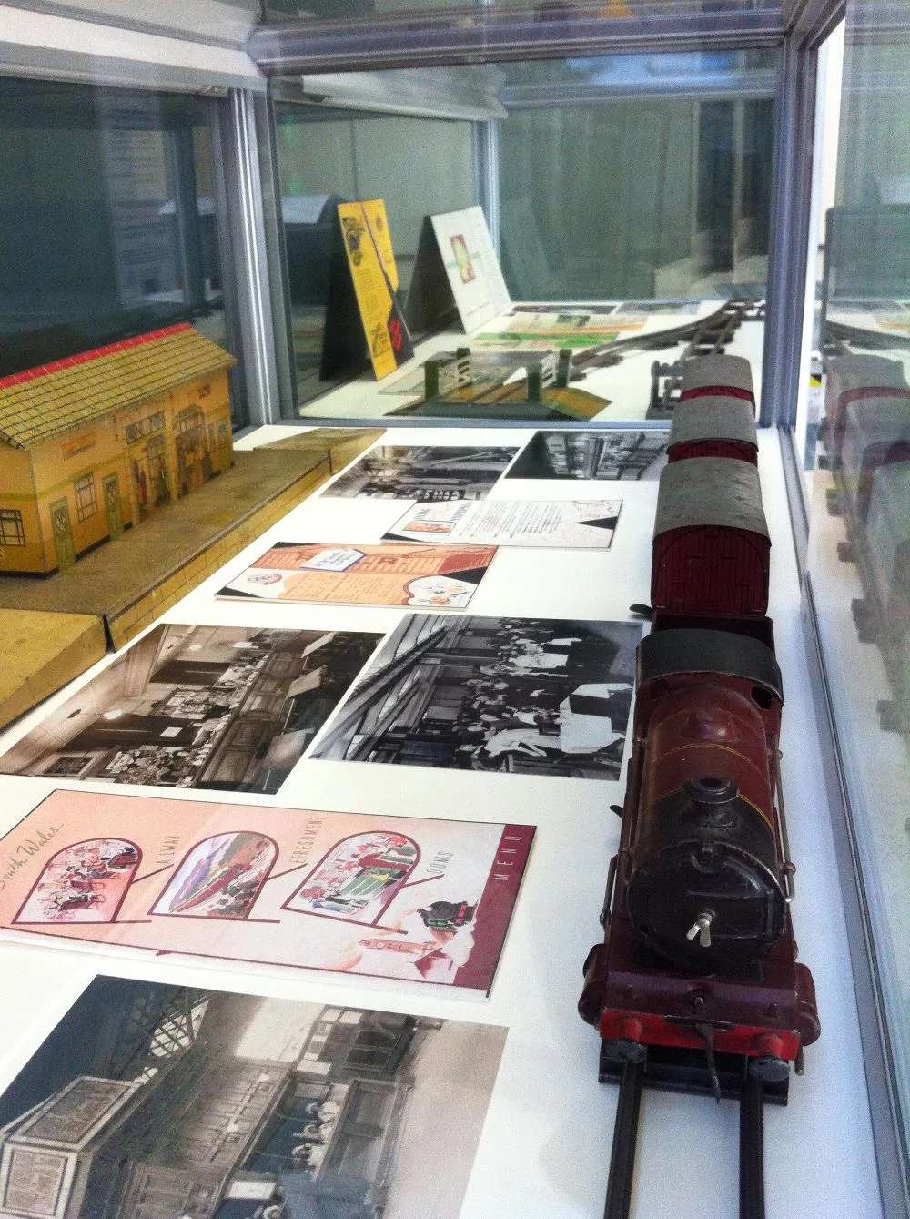
Roads in Kingswood
Roads
Great Western Highway
Kingswood, Bike Lockers - Kingswood Station, Great Western Hwy, Kiss and Ride, Kingswood Station, Great Western Hwy, Subway, Chicken Man, Gravity Cafe, Great Western Hwy opp Kingswood Station, Somerset Cottage Early Childhood Education and Care Centre, Chị 6, The Pizza Stop, St George ATM, Kingswood Thai Massage, Say Inn Chinese Restaurant, Kingswood Baker House, Kingswood Cellars, Kingswood Fish & Chook Takeaway, Kingswood Dry Cleaners, All Fish 2U Aquarium, Club 220, Kingswood Loan Broker, Free Choice, Asuka
Bringelly RoadHallini's Groceries and Take-away, AB7 Restaurant, Nepean Curry in A Hurry, Diamonds Pregnancy Support, Kingswood Laundrette, Westcare OP Shop, Sunset Thai, Peppermint Reserve, Bringelly Rd, Bringelly Rd at Elizabeth Cres, Bringelly Rd after Smith St, Bringelly Rd at Peppermint Cres, Bringelly Rd after The Northern Rd, Bringelly Rd before Caddens Rd, Bringelly Rd after Caddens Rd, Bringelly Rd at Stafford St, Bringelly Rd at Baden Powell Av, Kingswood High School, Bringelly Rd
Derby StreetDerby St opp Nepean Hospital, Quality Food Takeaway, Derby Street Family Medical Centre, Affinity Skin Cancer Clinic, Nepean Hospital, Derby St, Grow Cafe Co, Nepean Dermatology, The Specialists Rooms, Derby St after Bringelly Rd, Derby St before Bringelly Rd, Derby St after Somerset St, Derby St before Somerset St
Second AvenueSecond Av at Morphett St, Second Av opp Morphett St, Second Av after O'Connell St, Doug Rennie Field, Second Av, Second Av opp Doug Rennie Field, Second Av opp Manning St, Second Av opp Western Sydney University Penrith Campus, Western Sydney University Penrith Campus, Second Av, Kingswood Public School Second Av, Second Av at Anthony Cres
Jamison RoadJamison Rd before Parker St, Jamison Rd at Trinder Ave, Jamison Rd at Gladys St, Jamison Rd at Stapley St, Jamison Rd after Parker St, Jamison Rd before Bringelly Rd, Jamison Rd opp Trinder Av, Jamison Rd opp Stapley St, Jamison Rd opp Gladys St
Parker StreetParker St after Jamison Rd, Parker St after Smith St, Nepean Plastics & Displays, Parker St after Derby St, EG Australia, Green and Gold Car Wash and Cafe, St Dominic's College, Parker St, Parker St after Glebe Pl, Parker St after Oxford St
Copeland StreetCopeland St before Richmond Rd, Copeland St before Phillip St, Hungry Jack's, St Dominic's College, Copeland St, Copeland St opp St Dominic's College, Copeland Rd before Phillip St
O'Connell StreetState Records Authority of NSW, O'Connell St, O'Connell St opp State Records Authority of NSW, TAFE Nepean College Gate 2, O'Connell St, O'Connell St opp TAFE Nepean College Gate 1, TAFE Nepean College Gate 1, O'Connell St
Manning StreetManning St before Second Av, Manning St after Edward St, Manning St before Edward St, Manning St before Bargo Bvd, Manning St opp Edward St
Stafford StreetThe Chicken Run, Pizza Connect, Stafford Express Mart, Stafford's Take Away, Midges The Salon
Park AvenueKingswood, Kingswood Station, Park Ave, Park Ave opp Kingswood Station
Cox AvenueArtys Surplus Store, Vinnies, Amber Tiles, Back to Basics
Casuarina CircuitCasuarina Cct at Manning St, Casuarina Cct opp Kingscote Pl, Casuarina Cct opp Dianella Pl, Casuarina Cct before Maculata Pl
Rodgers StreetDomino's, Tai-Yi Acu-Herbal Clinic, Kukku's Indian Groceries
John Flak AvenueBAR Cafe, Uni Bros
Smith StreetKingswood High School, Smith St, Kingswood South Public School, Smith St
Angophora AvenueAngophora Av at Casuarina Cct, Angophora Ave opp Casuarina Cct
Peppermint CrescentPeppermint Reserve, Peppermint Cres, Peppermint Cres after Yeelanna Pl
Richmond RoadSt Joseph's Primary School, Richmond Rd
Victoria StreetVictoria St opp Park Ave
Dunstan AvenueSubway
Somerset StreetSomerset Eatery
King StreetWerrington South campus
Nichols Place
Talia Close
Gascoigne Street
Sallee Glen
Morphett Street
Piper Close
Yate Close
First Avenue
Phillip Street
Beatson Lane
Kenarf Close
Morrel Place
Callow Lane
Gungurru Street
Stock Avenue
George Street
Cosgrove Crescent
Great Western Hwy Shared Path
Jones Lane
Baden Powell Avenue
Milne Avenue
Lucy Street
Jones Street
O'Connell LaneApartment buildings
Building under constructions
Buildings
Convenience stores
Hospitals
Places of worship
Post offices
Residential areas
Sheds
Sports pitches
Public transport map Kingswood Legend
| Railway | |
| Bus | |
| Tram |
Cycling map Kingswood Legend
| Cycle path | |
| Cycle lane on road | |
| Cycling on bus lane | |
| Bicycle street | |
| Cyclists allowed | |
| Cyclists allowed, good surface | |
| No cycling | |
| Cobblestones |
| Long-distance cycle route | (depending on scale) | |
| Long-distance cycle route |
Walking map Kingswood Legend
| Path |
| Long-distance hiking trail | (depending on scale) | |
| Long-distance hiking trail | ||
| No pedestrians |