
Illawarra Escarpment in Cambewarra
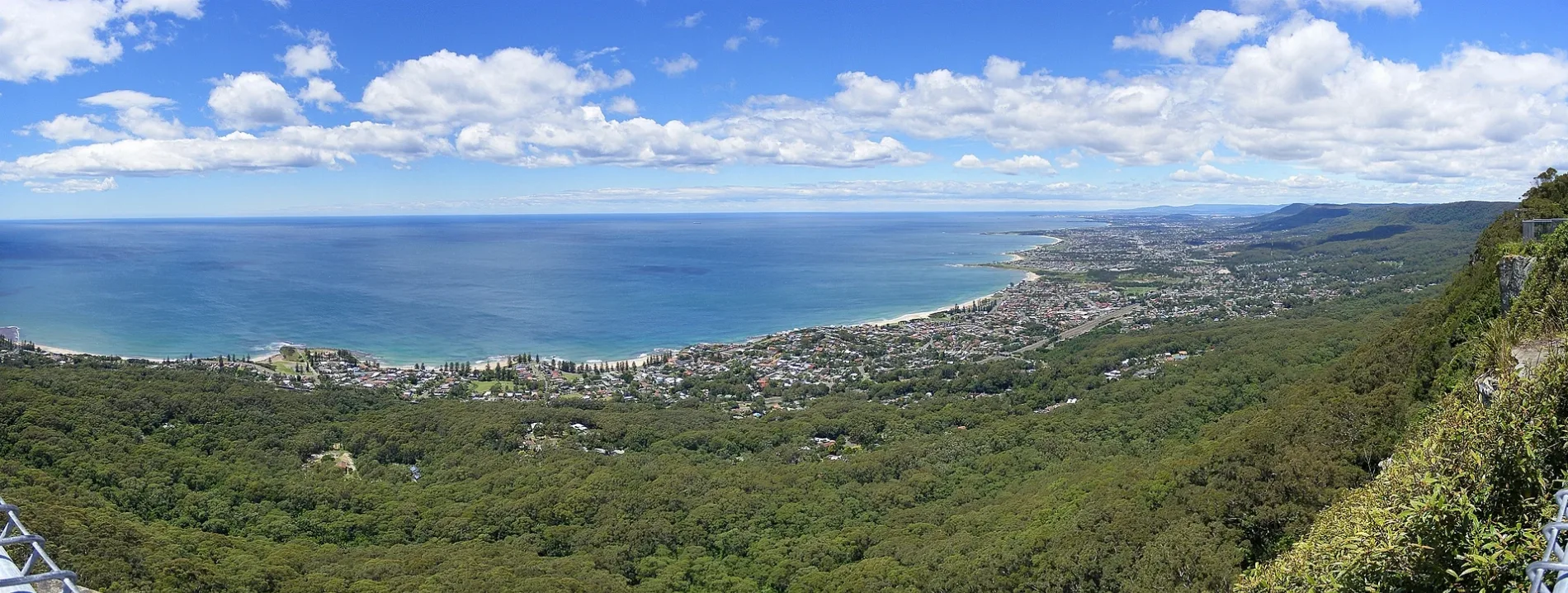
Illawarra Escarpment in Shoalhaven City Council is a mountain range. Ⓦ.
- Nature
- mountain range
Image
Bus stops
Roads nearby
Old Boxsells Road550 m
Cambewarra Lookout RoadCambewarra Lookout
800 m
Carrington Road800 m
Leebold Hill RoadMoss Vale Rd opp Cambewarra Lookout Rd
1,5 km
Cedar View Road1,7 km
Reservoir Lane2,1 km
Green Valley RoadMoss Vale Rd at Green Valley Rd
2,3 km
Barfield RoadCambewarra
2,4 km
Red Cedar Lane2,5 km
Brolga Place2,7 km
Pari Place2,8 km
Nooramunga AvenueNooramunga Av after Goorama Dr, Nooramunga Av at Reservoir Lane
2,8 km
Woolway Close2,8 km
Tannery RoadCambewarra Village, Tannery Rd at Kongoola Av
3,0 km
Binks Place3,1 km
Kongoola Avenue3,2 km
Kalinga Street3,2 km
Goorama Drive3,2 km
Faulks Place3,4 km
Main RoadCambewarra Post Office, Cambewarra Public School, Main Rd
3,4 km
Evison Close3,5 km
Hockeys Lane3,5 km
Bells Lane3,5 km
Rouse AvenueRouse Av opp Raymond Pl
3,5 km
Clover Court3,5 km
Moss Vale RoadMoss Vale Rd opp Main Rd, Moss Vale Rd at Main Rd, Moss Vale Rd opp Taylors Lane, Moss Vale Rd at Taylors Lane
3,6 km
Raymond Place3,6 km
Maculata Close3,7 km
The Vale3,7 km
The Concourse3,7 km
Nebula Lane3,7 km
Victorious View3,8 km
Taurus Street3,9 km
The Terrace3,9 km
Farmhouses nearby
Sambbi Park2,3 km
Ocean View2,3 km
Redfern2,6 km
Gascyne2,8 km
The Cedars2,9 km
Consulation Creek3,0 km
Wicklow3,4 km
Parks nearby
Howell Faulks Park2,8 km
Rouse Avenue Reserve3,6 km
Recreation grounds nearby
Ray Abood Village Green3,7 km
Streams nearby
Harpers Creek1,6 km
Sawyers Creek2,4 km
Good Dog Creek3,1 km
Browns Creek3,2 km
Viewpoint nearby
Cambewarra Lookout & Tea Rooms1,2 km
| Elevation | 803 m |
|---|---|
| Located in | New South Wales |
| Country | Australia |
Public transport map Cambewarra Legend
| Railway | |
| Bus | |
| Tram |
Cycling map Cambewarra Legend
| Cycle path | |
| Cycle lane on road | |
| Cycling on bus lane | |
| Bicycle street | |
| Cyclists allowed | |
| Cyclists allowed, good surface | |
| No cycling | |
| Cobblestones |
| Long-distance cycle route | (depending on scale) | |
| Long-distance cycle route |
Walking map Cambewarra Legend
| Path |
| Long-distance hiking trail | (depending on scale) | |
| Long-distance hiking trail | ||
| No pedestrians |