
Sutherland Street in St Peters
Sutherland Street in New South Wales is an asphalted, lit residential street (50 km/h). The road has sidewalks. There is no cycle path. It runs in a southeast-northwest direction starting from Unwins Bridge Road and ends at Princes Highway. Sutherland Street also exists in Paddington.
- Road Type
- residential street
- Speed Limit
- 50
- Route
- southeast-northwest
Image
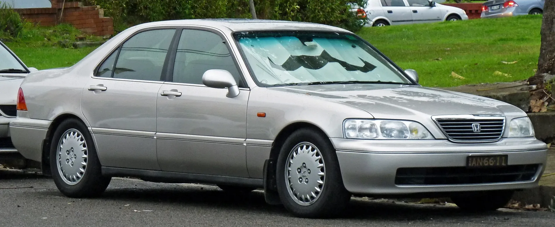
Artwork
Greengrocers
Hardware shops
Music shops
Pet shops
Bus stops
Tourist information offices
Pubs
Garden centres
Petrol stations
Cafés
Car parts shops
Roads nearby
Henry Street100 m
Frederick Street100 m
Briar Lane150 m
Rolf Lane200 m
Albion Lane200 m
Grove Street200 m
Alfred Street250 m
Bakers Lane250 m
Berne StreetArtist Guitars
300 m
Princes HighwayPrinces Hwy at Edith St, St Peters Anglican Church, Princes Hwy, Saint Peters Post Office, Chinese Takeaway, Princes Hwy at Short St, PV1 Design / Sew Industrial Sewing Specialist, Princes Hwy at Victoria St, To Be, Near the Centre (There is Music), Brickmaking, The Brickmasters, Princes Hwy opp St Peters Anglican Church, Princes Hwy before Canal Rd, Princes Hwy after Victoria St, Original Ugg Australia, Princes Hwy opp Railway Rd, Princes Hwy opp Sutherland St
300 m
Unwins Bridge RoadButterfly Blooms, Town and Country Hotel
300 m
M8 Motorway TunnelBP, Princes Hwy opp Short St, Southern Cross Hotel
350 m
Roberts Street350 m
Mary StreetSample Coffee Pro Shop
350 m
Roberts Lane350 m
Edith Street450 m
Silver Street450 m
Edith Lane450 m
Canal RoadCanal Rd before Princes Hwy, Canal Rd before Burrows Rd, Canal Rd after Burrows Rd, Points of Intersection, Canal Rd after Princes Hwy
500 m
Conway Place500 m
Gardeners Road Onramp550 m
Silver Lane550 m
Gardeners Road OfframpSt Peters
600 m
St Peters Street600 m
Florence Street700 m
Brown StreetSt Peters
700 m
Bedwin Road750 m
Railways nearby
Sydney Metro Trains Facility South600 m
Car washes nearby
BP200 m
Convenience stores nearby
BP Shop250 m
Fast food restaurants nearby
KFC600 m
Gardens nearby
Brown Street Community Garden700 m
Hotels nearby
Town and Country Hotel700 m
Industrial areas nearby
Westconnex Facility MOC4400 m
Industrial buildings nearby
M8 Ventilation Plant450 m
Places of worship nearby
St Peter600 m
Playgrounds nearby
Rowswell Playground300 m
Subway lines nearby
Down Sydney Metro City & Southwest400 m
Up Sydney Metro City & Southwest400 m
Eastern Bypass450 m
Stabling Road 4500 m
Western Bypass500 m
Stabling Road 3550 m
Stabling Road 1550 m
Stabling Road 2550 m
Stabling Road 6600 m
Stabling Road 5600 m
Stabling Road 7600 m
Stabling Road 8600 m
 Public transport map St Peters Legend
| Railway | |
| Bus | |
| Tram |
 Cycling map St Peters Legend
| Cycle path | |
| Cycle lane on road | |
| Cycling on bus lane | |
| Bicycle street | |
| Cyclists allowed | |
| Cyclists allowed, good surface | |
| No cycling | |
| Cobblestones |
| Long-distance cycle route | (depending on scale) | |
| Long-distance cycle route |
 Walking map St Peters Legend
| Path |
| Long-distance hiking trail | (depending on scale) | |
| Long-distance hiking trail | ||
| No pedestrians |