
Sutherland Shire Council
Sutherland Shire Council is located in New South Wales. About 230,211 people live here (as of 2021). Between 2011 and 2021, the population grew from 210,863 to 230,211. The region lies at 61 metres above sea level. Its area extends over around 333.6 square kilometres. The region is divided into 53 Subregions. Sutherland Shire Council is local government area in New South Wales, Australia. For more information, see www.sutherlandshire.nsw.gov.au.
Sutherland Shire Council – Facts
| Inhabitants | 230211 |
|---|---|
| Area | 333.6 km² |
| Subregions | 53 |
| Elevation | 61 m |
| Located in | New South Wales |
| Country | Australia |
| Location | Sydney |
| Website | https://www.sutherlandshire.nsw.gov.au/ |
Data source: Wikidata (CC0)
Photos from Sutherland Shire Council
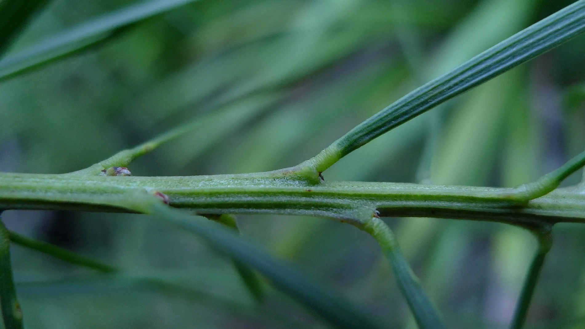
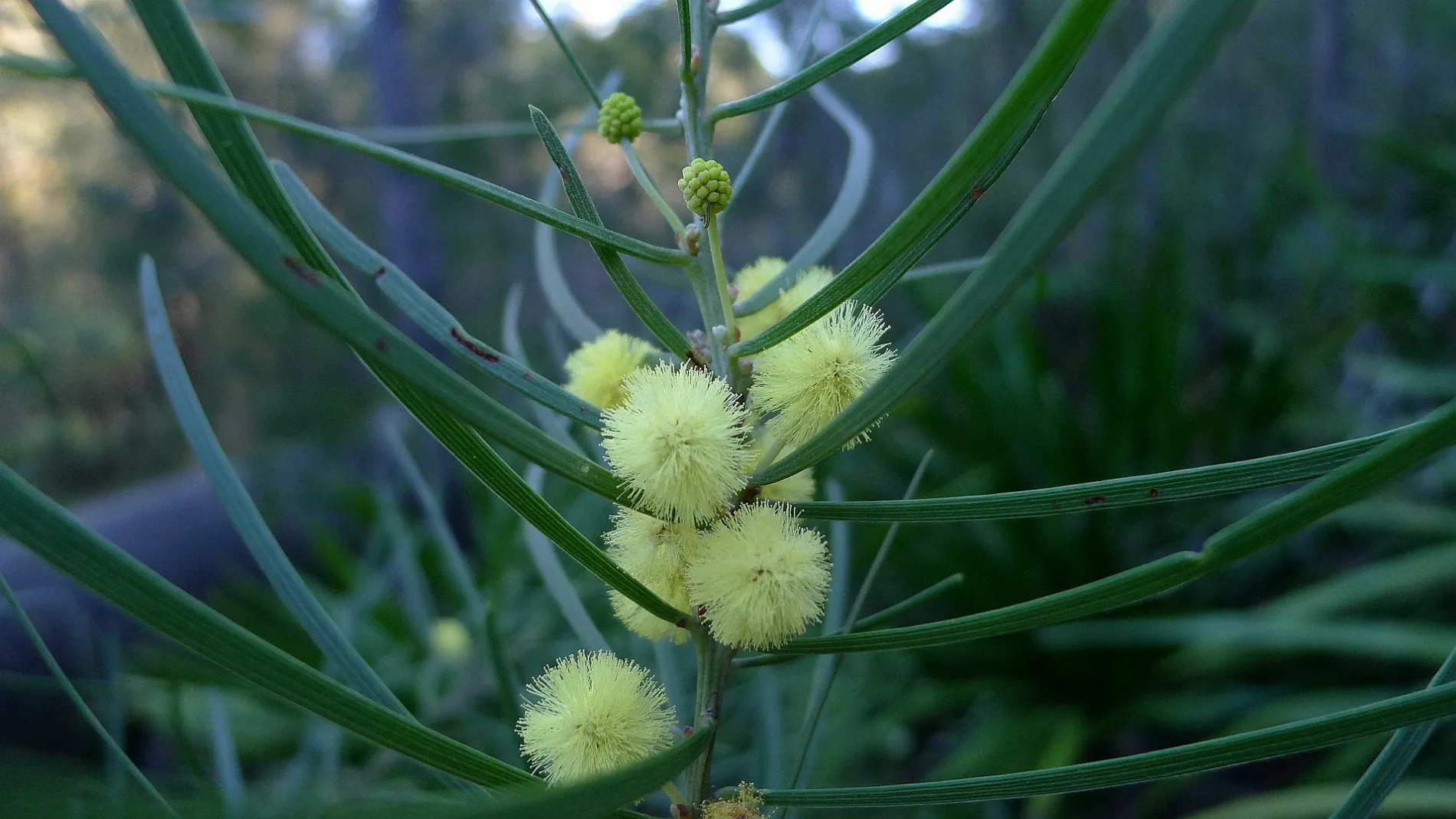
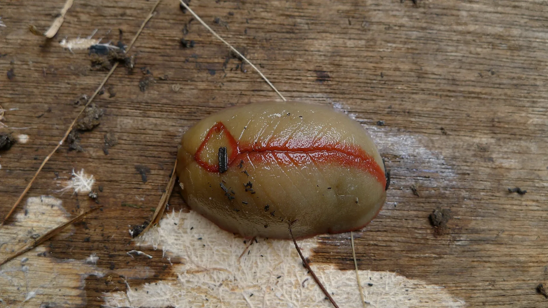
Boroughs in Sutherland Shire Council
Important and frequently searched streets
Peryman SquareAlley Break Cafe, Sea Level, Bali Memorial, Zinc, Opah, 29 North Cronulla Beach, 28 North Cronulla Beach
 Public transport map Sutherland Shire Council Legend
| Railway | |
| Bus | |
| Tram |
 Cycling map Sutherland Shire Council Legend
| Cycle path | |
| Cycle lane on road | |
| Cycling on bus lane | |
| Bicycle street | |
| Cyclists allowed | |
| Cyclists allowed, good surface | |
| No cycling | |
| Cobblestones |
| Long-distance cycle route | (depending on scale) | |
| Long-distance cycle route |
 Walking map Sutherland Shire Council Legend
| Path |
| Long-distance hiking trail | (depending on scale) | |
| Long-distance hiking trail | ||
| No pedestrians |