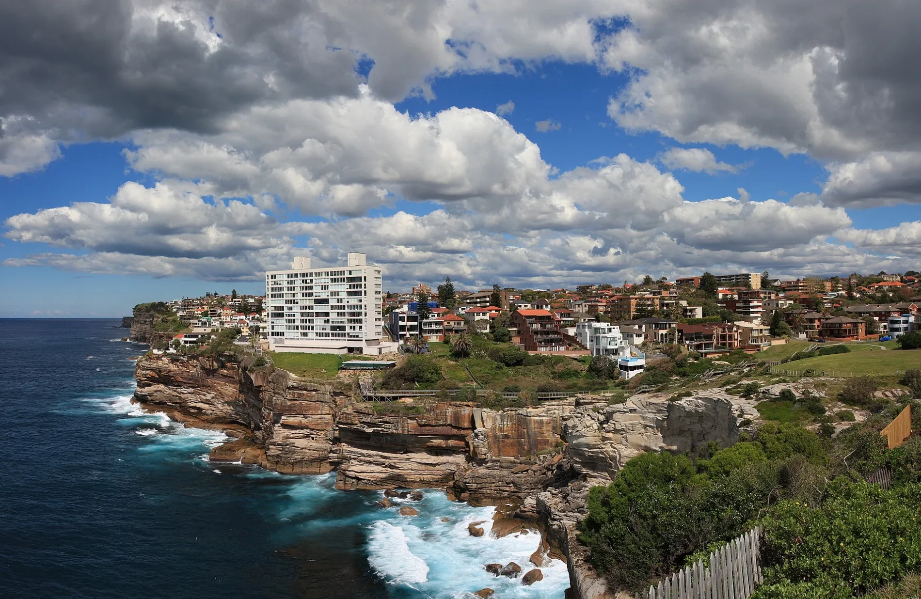
Looking towards Vaucluse and Dover Heights from the park in Chris Bang Crescent Vaucluse, New South Wales – Adam.J.W.C., CC BY-SA 2.5 – Wikimedia Commons Vaucluse is located in New South Wales. The area is situated on the Rose Bay and Hermit Bay. About 9,337 people live here (as of 2016). Between 2016 and 2021, the population grew from 9,337 to 9,510. Vaucluse has around 265 streets. The postal codes are 2030. Vaucluse is suburb of Sydney in New South Wales. Among other things, Vaucluse has public transport, restaurants, cafés, attractions, hairdressers and pharmacies.
Located in
Municipality of Woollahra, New South Wales, Municipality of Waverley, Alexandria
Postal code
2030
Country
Australia
Body of water
Rose Bay, Hermit Bay, Shark Bay, Vaucluse Bay, Parsley Bay, Watsons Bay


 Public transport map Vaucluse Legend
  Cycling map Vaucluse Legend
  Walking map Vaucluse Legend