
Image
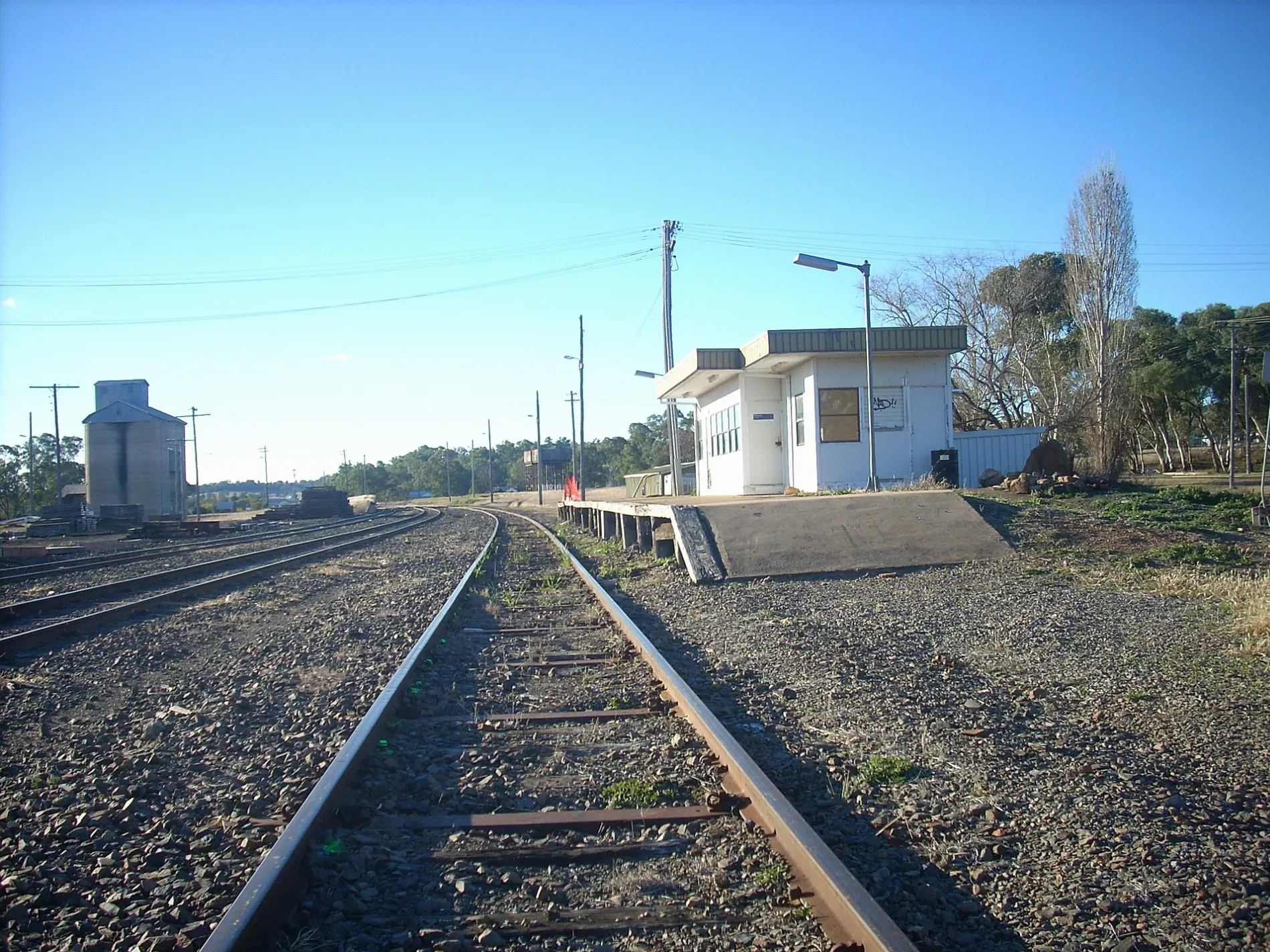
Campsite
Travel agencies
Sewing supplies shops
Bank
Hairdressers
Public clocks
Department stores
Cafés
Interior decorators
Supermarkets
Motel
Pharmacy
Police stations
Variety stores
Car repair shops
Pubs
Off-licences
Fast food restaurants
Car dealerships
Courthouse
Restaurants
Roads nearby
Essex StreetNeilson Park
150 m
Cowper Street250 m
Dawson Street250 m
Woos Lane350 m
Chappell Avenue350 m
Brains LaneCardian's Coffee Lounge, Woolworths, BWS
350 m
Dalgarno StreetNAB, Your Discount Chemist, Imperial Hotel, Galaxy Emporium, Tastebuds On Dalgarno, Rolls of Carpet, Grace's Uniforms, Dafters Quality Meats, Crazy Sam's, Coonabarabran Betta Home Living, Eat It Cafe & Take-away, Tourist Information, ADRA Op Shop, Carlo's IGA and Liquor, Coonabarabran Police Station, Barron's Tyre & Mechanical, Coonabarabran Local Court, The Crafters Cottage, Coonabarabran Veterinary Clinic, Fresh Bagged Ice, Bridgestone
400 m
Drummond Street400 m
Clarke Street450 m
North StreetCrystal Kingdom
500 m
Little Timor StreetNewsagency, Coonabarabran Bakery, Coonabarabran Uniting Church, Prezzies, Chalkies Country Store
500 m
Gordon StreetPoplars Motor Inn
500 m
Charles StreetCoonabarabran CWA, Coonabarabran Toyota
550 m
Newell HighwayAmber Court Motor Inn, Castlereagh Village, Safe-T-Cam, The Coachman's Rest Motor Lodge, Matthew Flinders Motor Inn, Wagon Wheel Motel, Country Gardens Motel, Gowan Rest Area Northbound, Gowan Rest Area Southbound, Camkeena Rest Area, Solar System Drive - Saturn, Dogtrap Gully Rest Area Westbound, Belah Hill Rest Area Eastbound, Coonabarabran Visitors Centre, Newell Hwy
550 m
Hill Street550 m
Cassilis StreetCoonabarabran Rural Supplies, Feathers Cafe, Hydra Facial MD, Hello Dental
600 m
John StreetRoyal Hotel, Commonwealth Bank, Coonabarabran Chemist, All Travellers Motor Inn, Tim Duffy Optometrist, Warrumbungle Community Care, Coona Chicks, Clock Tower, Coonabarabran Library, Sole Impression, Regional Australia Bank, Tam's Cutting Shed, Krystie's Quality Meats, Fish & Chips, Sisterellea's, Surf, Work, Street, Imperial Bistro, Computer Repairs, Sales, Subway, Mint Leaf Cafe, Coonabarabran Hotel, Klipperz Hair Design, St. Andrews Presbyterian Church
600 m
Deane Street650 m
White Street700 m
Boomerang Street750 m
Antaw Street750 m
Robertson Street750 m
Queenie Street750 m
Ann Street800 m
Eden Street850 m
Namoi Street850 m
Amenities nearby
Coonabarabran Rescue Squad250 m
DIY stores nearby
Roach's Home Timber & Hardware600 m
Banks nearby
Commonwealth Bank600 m
Buildings nearby
NSW Local Land Services300 m
Coonabarabran Court House450 m
Cosmic Crystal Creations600 m
Caravan site nearby
John Oxley Caravan Park300 m
Charity shops nearby
Vinnies350 m
Clothing shops nearby
Chalkies Country Store500 m
Fire stations nearby
Coona Fringe Rural Fire Brigade150 m
Gift shops nearby
Prezzies550 m
Jeweller's nearby
Jewels and Gifts500 m
Motel nearby
Clock Tower Motor Inn350 m
Museum nearby
Crystal Kingdom500 m
Parks nearby
Neilson Park150 m
David Bell Park800 m
Post offices nearby
Coonabarabran Post Office450 m
Retail buildings nearby
Strand Arcade400 m
Warrumbungle Shire Council600 m
Rivers nearby
Castlereagh River850 m
Service buildings nearby
Coonabarabran Telephone Exchange450 m
Town halls nearby
Warrumbungle Shire Council Town Hall650 m
Warehouses nearby
Brains Garage400 m
| Length | 431.7 |
|---|---|
| Country | Australia |
Public transport map Coonabarabran Legend
| Railway | |
| Bus | |
| Tram |
Cycling map Coonabarabran Legend
| Cycle path | |
| Cycle lane on road | |
| Cycling on bus lane | |
| Bicycle street | |
| Cyclists allowed | |
| Cyclists allowed, good surface | |
| No cycling | |
| Cobblestones |
| Long-distance cycle route | (depending on scale) | |
| Long-distance cycle route |
Walking map Coonabarabran Legend
| Path |
| Long-distance hiking trail | (depending on scale) | |
| Long-distance hiking trail | ||
| No pedestrians |