
Brewery Place in Woolner
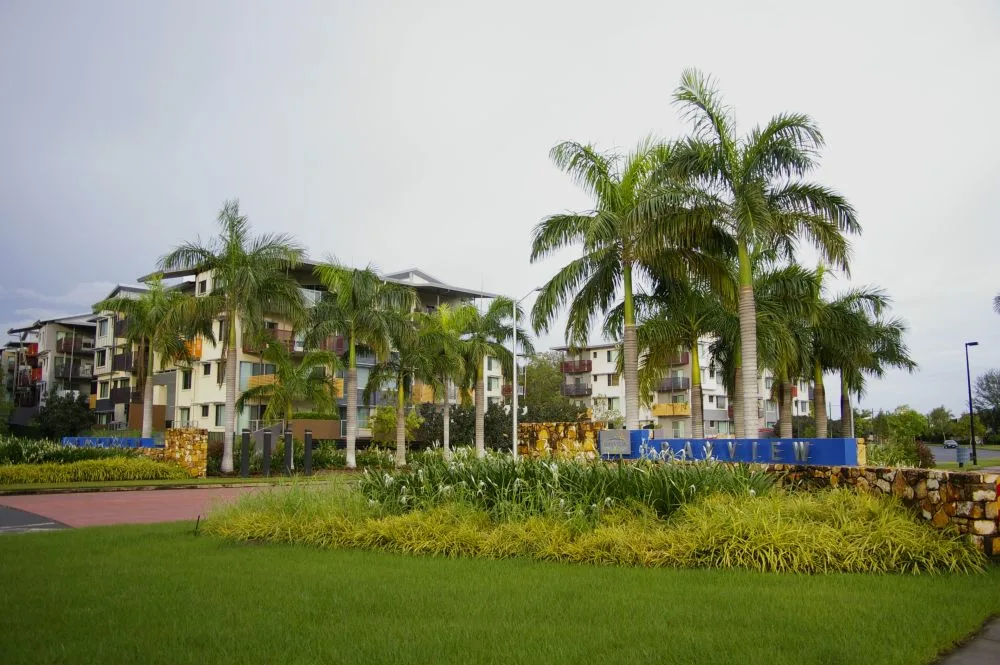
Brewery Place in City of Darwin is an asphalted residential street. It runs in an east-west direction and ends in a cul-de-sac.
- Road Type
- residential street
- Route
- east-west
Image
Car parts shops
Recycling centres
Roads nearby
Manila Place150 m
Chong Wee Avenue200 m
Bishop StreetPC Mart, Carcom Installations
200 m
Kupang Court200 m
Woolner Road200 m
Sariago Court250 m
Jolly StreetDarwin Recycling
250 m
Villaflor Crescent250 m
North Australia Rail Trail250 m
Ross Smith AvenueParap Pool (243)
300 m
Hazelbane Place300 m
Stuart HighwayWoolner Road (173), Parap Rd (106), Ross Smith Avenue (107), Parap Road - Stuart Highway (174)
300 m
Iliffe Street350 m
Railway Street350 m
Camilla Place400 m
Dangerfield Street450 m
Hudson Court450 m
May Street450 m
McMaster Crescent450 m
Ormond Court450 m
Drysdale Street500 m
Mallam Street500 m
D'Ambrosio Ct500 m
Foster Court550 m
McGinness Street550 m
Somerville GardensDarwin Railway Club
550 m
Hudson Fysh Avenue550 m
Hobler Court550 m
Gregory StreetBogarts, The Cheesecake Shop, Outstation Gallery, Parap Shops (309), Top End Orthodontics
550 m
Stretton Street600 m
Toy Street600 m
Gordon Street600 m
Playford StreetParap
700 m
Edwards Street700 m
Vickers StreetAustralia Post Parap, Laneway specialty coffee, Parap Post Office (308)
700 m
Urquhart Street700 m
Parap PlaceParap Market
750 m
Vimy LaneParap Bakery, Parap Fine Foods, Mad About Coffee, Crust, Happy Garden, Northern Centre of Contemporary Art, Saffrron
800 m
Abandoned railways nearby
Narrow gauge North Australia Railway (dismantled)350 m
Apartment buildings nearby
Tropicana550 m
Clinics nearby
Top End Mental Health Service Tamarind Center400 m
Parks nearby
Brian Chong Wee Park200 m
Arafura Park400 m
Somerville Park450 m
Ginty Mcginness Park500 m
Worgan Park700 m
Petrol stations nearby
United300 m
Places of worship nearby
Darwin Baptist Church350 m
Social facilities nearby
Darwin Railway Club550 m
 Public transport map Woolner Legend
| Railway | |
| Bus | |
| Tram |
 Cycling map Woolner Legend
| Cycle path | |
| Cycle lane on road | |
| Cycling on bus lane | |
| Bicycle street | |
| Cyclists allowed | |
| Cyclists allowed, good surface | |
| No cycling | |
| Cobblestones |
| Long-distance cycle route | (depending on scale) | |
| Long-distance cycle route |
 Walking map Woolner Legend
| Path |
| Long-distance hiking trail | (depending on scale) | |
| Long-distance hiking trail | ||
| No pedestrians |