
Burdekin Street in Plainland
Burdekin Street in Lockyer Valley Regional is a single-lane, asphalted residential street and it runs in a north-south direction. Burdekin Street also exists in Charters Towers Regional, Townsville City and City of Brisbane.
- Road Type
- residential street
- Lanes
- 1
- Route
- north-south
Image
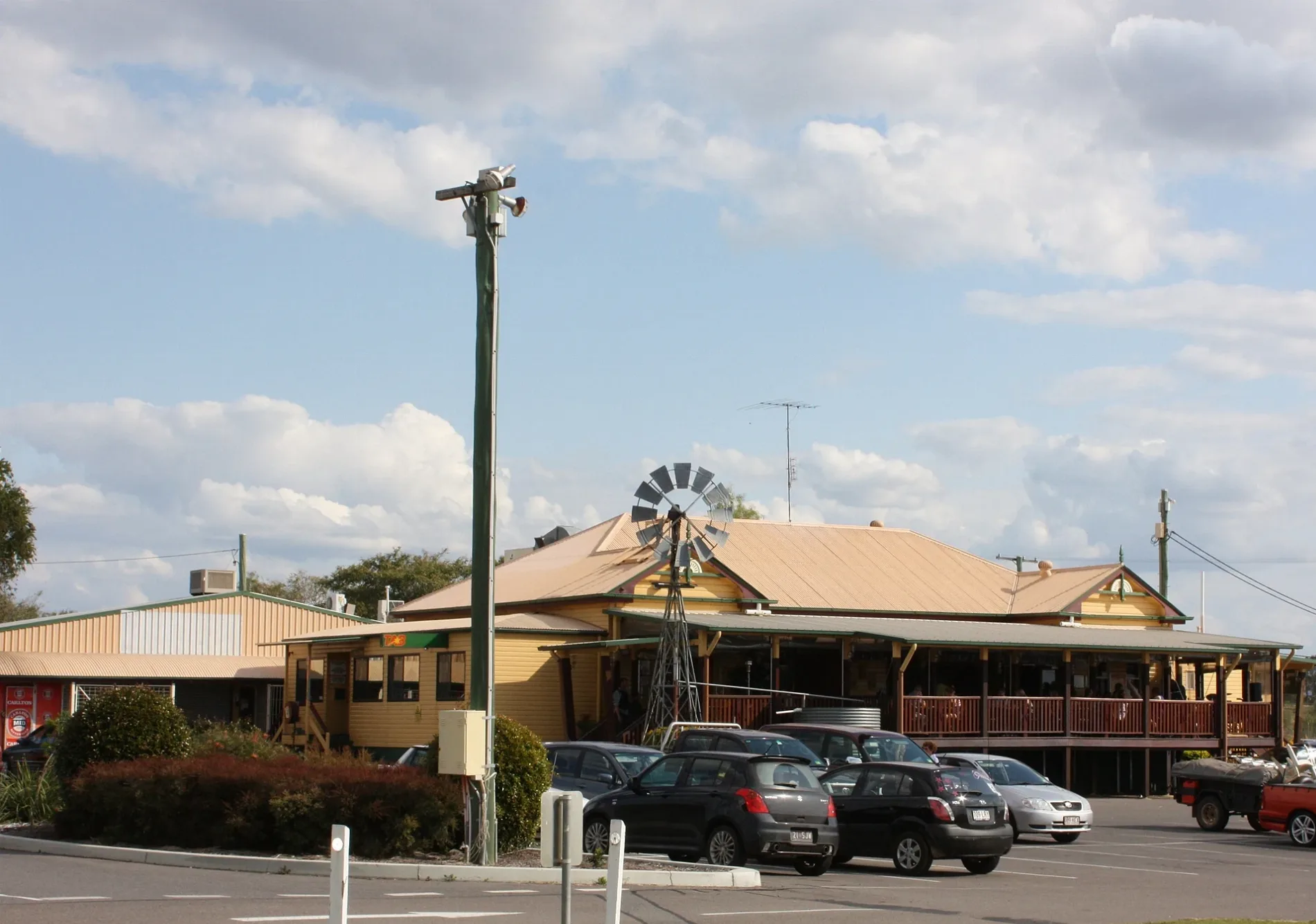
Restaurants
Doctor's office
Off-licences
Newsagent's
Bakeries
Dentist
Fast food restaurants
Pet shops
Variety stores
Tobacconist's
Hairdressers
Clinic
Cafés
Supermarkets
Car parts shops
Chemist's
Convenience stores
ATMs
Petrol stations
Roads nearby
Endeavour Way200 m
Hastings Avenue200 m
Culgoa Drive250 m
Barcoo Drive250 m
Gehrke RoadPlainland Bakery, Go-N Sushi, Exact Radiology, Plainland Dental, ALDI, Hen House, The Locker Doctors
250 m
KFC Drive-ThruKFC
250 m
Flinders Court300 m
Hungry Jacks Drive-ThruHungry Jack's, Subway, ANZ, Coffee Club, Foodary, Ampol
300 m
Barwon Street300 m
Gascoyne Street350 m
Shoalhaven Street350 m
Clarence Place350 m
Richmond Terrace350 m
Plainland Travel Centre400 m
Diamantina Street400 m
Georgina Street400 m
Saxby Drive400 m
Merivale Court450 m
Condamine Way450 m
Derwent Street500 m
Porters Road500 m
Darling Circuit550 m
Maroske Road600 m
Paroo Street650 m
Echidna PlaceThe Coffee Club
650 m
Balonne Street650 m
Goulburn Street700 m
Laidley Plainland RoadPlainland
800 m
Stieler Drive850 m
Warrego HighwayPizza Hut, Mitre 10, Wet Dreams Aquatics
950 m
Logan Court1000 m
Faith Avenue1000 m
Donaldson Road1,0 km
Otto Road1,0 km
Mountain View Drive1,0 km
Mitchell Court1,1 km
Edgerton Drive1,1 km
Bellve Court1,1 km
Leschke Road1,2 km
Helen Court1,3 km
Carol Anne Court1,4 km
DIY stores nearby
Bunnings Warehouse250 m
Butcher's nearby
Schultes Meat Tavern400 m
Car washes nearby
Lockyer Car Wash450 m
Fast food restaurants nearby
McDonald's700 m
Parks nearby
Kofal Park250 m
Petrol stations nearby
Mobil550 m
Pubs nearby
Porters Plainland Hotel500 m
Supermarkets nearby
Woolworths300 m
Public transport map Plainland Legend
| Railway | |
| Bus | |
| Tram |
Cycling map Plainland Legend
| Cycle path | |
| Cycle lane on road | |
| Cycling on bus lane | |
| Bicycle street | |
| Cyclists allowed | |
| Cyclists allowed, good surface | |
| No cycling | |
| Cobblestones |
| Long-distance cycle route | (depending on scale) | |
| Long-distance cycle route |
Walking map Plainland Legend
| Path |
| Long-distance hiking trail | (depending on scale) | |
| Long-distance hiking trail | ||
| No pedestrians |