
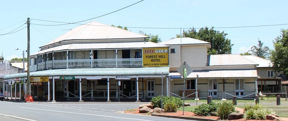
William Street in Forest Hill
William Street in Lockyer Valley Regional is an asphalted tertiary road. It runs in a southeast-northwest direction starting from Dodt Road and crosses Gill Street, Kent Street and Walkers Lane and ends at Victoria Street. William Street also exists in Laidley, Gatton and Helidon.
- Road Type
- tertiary road
- Route
- southeast-northwest
Image
Bus stops
Roads nearby
Robert StreetCheeki Coffee
100 m
Gordon Street100 m
Railway Street150 m
Kent Street250 m
Church Street250 m
Victoria StreetVictoria St at Forest Hill, Forest Hill, Cafe 4342, Forest Hill Hotel, The Lockyer Hotel, Caffe Sorella
300 m
Palm Avenue350 m
Doris Court350 m
Hunt Street350 m
Burnham Street350 m
Friedrich Avenue350 m
Jeannine Drive350 m
Glenore Grove Road400 m
Walkers Lane400 m
Gill Street450 m
Dyer Street450 m
Brimblecombe Street500 m
Dodt Road500 m
Hall Road750 m
Gatton Laidley Road East750 m
Harm Road900 m
McAllister Road1,4 km
Old Laidley - Forest Hill Road1,6 km
Gatton-Laidley Road1,8 km
Whiteway Road1,9 km
Riana Court1,9 km
Van De Weyer Road2,0 km
Miles Road2,0 km
Miles Road West2,0 km
Glendene Road2,1 km
Forest Hill - Blenheim Road2,2 km
Forbe Road2,4 km
Auchter Road2,5 km
Forest Hill Fernvale Road2,7 km
Miles Road East2,7 km
Harvey Road2,8 km
Michael Road2,9 km
Harvey Road South3,0 km
Tarantall Road3,0 km
Bradley Close3,1 km
Malabar Drive3,1 km
Amy Drive3,2 km
Honeyeater Court3,3 km
Burgess Road3,3 km
Fiona Court3,4 km
Fire stations nearby
Forest Hill Fire and Rescue Station100 m
Parks nearby
Forest Hill Place50 m
Streams nearby
Sandy Creek1,3 km
Laidley Creek1,4 km
 Public transport map Forest Hill Legend
| Railway | |
| Bus | |
| Tram |
 Cycling map Forest Hill Legend
| Cycle path | |
| Cycle lane on road | |
| Cycling on bus lane | |
| Bicycle street | |
| Cyclists allowed | |
| Cyclists allowed, good surface | |
| No cycling | |
| Cobblestones |
| Long-distance cycle route | (depending on scale) | |
| Long-distance cycle route |
 Walking map Forest Hill Legend
| Path |
| Long-distance hiking trail | (depending on scale) | |
| Long-distance hiking trail | ||
| No pedestrians |