
Cleveland
Cleveland is located in Redland City. Around 15,850 people live here. Cleveland has around 683 streets. Cleveland is local government area of Queensland, Australia. Among other things, Cleveland has public transport, restaurants, cafés, supermarkets, attractions, schools, banks, dentists and pharmacies.
Cleveland – Facts
| Inhabitants | 15.850 |
|---|---|
| Located in | Queensland |
| Country | Australia |
Data source: Wikidata (CC0)
Photos from Cleveland
Roads in Cleveland
Roads
Shore Street
Cleveland, Cleveland station, platform 2, Cleveland station, platform 1, Samson Seafood Cafe, Hog's Breath Cafe, Cold Rock Ice Creamery, Body Design House, Dental Studio, J&M Tobacco & Gift Shop, Shore St at Passage Street, Shore St at Fitzroy Street, Coles, Pivotal Health, Cleveland station
Middle StreetMiddle St at Redlands RSL Services, Middle Street at Shore Street, Millers Garage, Emjay Spa & Beauty, Café Arabica, Subway, Redland Art Gallery, Middle Street, stop A, Middle St at Island Street, Smoked & Loaded, SanFangJi, NAB, Middle Street, stop B, Banjo's Bakery Cafe, Cleveland Post Shop, Kaisercraft
Bloomfield StreetBloomfield St near Long St, Bloomfield St near Bay St, Bloomfield St at Donald Simpson Park, Bloomfield St at Princess Street, Bloomfield St at Long Street, Physio Dynamics Physiotheropists, Red Cross Shop, Barratt's Bakery, Redland City Medical Centre, Bloomfield St near Russell St, Donald Simpson Community Centre, Cleveland
Weippin StreetChemist Warehouse, Neurosensory, Queensland X-Ray, The Indillie Clinic, Redlands Eye Specialists, Bayside Urology, Bayside Orthopaedic Centre, Gavan & Tracey's Food, Weippin St at Redland Private Hospital, Weippin St at Redland Hospital
Smith StreetSmith St at Cleveland District High School, Smith St at Cleveland Showground, Smith St near Long St, Smith St near Bay St
Fitzroy StreetFitzroy St near Princess St, Fitzroy St near Baypark Ct, Fitzroy St near Sturt St, Fitzroy St near Tarcutta St
Cleveland Redland Bay RoadBloomfield St at South Street, Bloomfield St near Beach St, Swagmans Snack Bar, Bloomfield St near South St, Bloomfield St near Bay St
Passage StreetPassage St near Jacaranda Ct, Passage St near Queen St, Passage St near Russell St
Sunshine DriveSunshine Dr near Admiralty Ct, Sunshine Dr near Coburg Cl, Sunshine Dr near Gretel Pl
Ross CourtIt's Cafe, Carroll's Picture Framing, BWS, IGA on Bloomfield
Shore Street WestShore St at Black Swamp Wetlands, Shore St at RACQ, Zarraffa's Coffee, Shore St at Grant Street
Queen StreetQueen St near Wellington St, Queen St near Haggup St
Beach StreetBeach St near Cleary St, Beach St at Goleby Esp
Wellington StreetWellington St near South St, Wellington St near Enterprise St, Wellington St near Queen St, Wellington Street near Queen Street
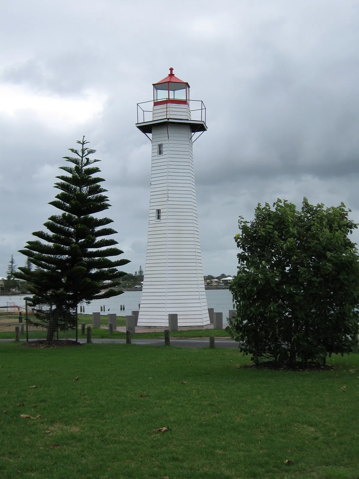
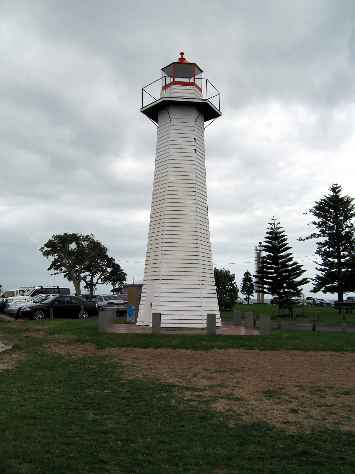
Shore Street NorthCleveland Point Lighthouse, The Lighthouse, Lighthouse Restaurant, The Lighthouse Restaurant, Bar and Cafe.
Emmett DriveSealink, Emmett Drive near Middle St, Stradbroke Flyer
South StreetSouth St near Clifford Perske Dr, South St near Fitzroy St
Princess StreetPrincess St near Blake St
Long StreetLong St at Topatig Street
McLeod StreetMcLeod St near Beach St, McLeod St near Goleby Esp
Shore Street EastSails on Shore, Cove Cafe
Bay StreetBay St near Olympus Dr, Bay St near Wellington St, Moreton Bay
Finucane RoadFinucane Rd at Redland Research Station
Waterloo StreetGeorge Hartnett Funerals
Waters StreetWoolworths
Wynyard StreetThe Reject Shop
Enterprise StreetThe BUSY School Cleveland Campus
Eddie Santagiuliana WayShore St West at Fitzroy Street
Rifle Pit TrackCleveland Rifle Range
Russell StreetRussell Street at Cleveland District High School
Enterprise Street Track
Flinders Street Link
Duchess Place
Aphrodite Court
Ray Street
Little Shore Street
Pandora Court
Lowrie Court
William Street
Carling Court
Langdon Street
Gretel Place
Ocean Street
Bonaventure Court
Carinya Street
Viking Court
Bass Place
Colburn Street
Beaufort Court
Sturt Street
Adam Street
Mainroyal Court
Stephen Court
Paranka Drive South
Captains Court
McCullagh Street
Margarets View
Michelle Court
Billabong Close
Laura Street
Peel CourtBoatyards
Buildings
Canals
Commercial areas
Commercial buildings
Community centres
Convenience stores
Hospitals
Hotels
Platforms
Residential areas
Streams
Public transport map Cleveland Legend
| Railway | |
| Bus | |
| Tram |
Cycling map Cleveland Legend
| Cycle path | |
| Cycle lane on road | |
| Cycling on bus lane | |
| Bicycle street | |
| Cyclists allowed | |
| Cyclists allowed, good surface | |
| No cycling | |
| Cobblestones |
| Long-distance cycle route | (depending on scale) | |
| Long-distance cycle route |
Walking map Cleveland Legend
| Path |
| Long-distance hiking trail | (depending on scale) | |
| Long-distance hiking trail | ||
| No pedestrians |