
Bairnsdale Street East in Buderim
Bairnsdale Street East in Sunshine Coast Regional is a residential street and runs in a north-south direction starting from King Street and ends at Coachwood Street.
- Road Type
- residential street
- Route
- north-south
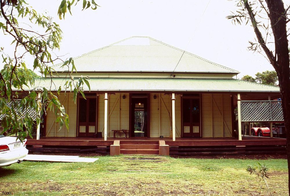
Image
Places of worship
Restaurants
Bus stops
Roads nearby
Bairnsdale Street West150 m
Hamilton Street150 m
Seaview Terrace150 m
Jakeman Drive200 m
Lavarack Crescent200 m
Melanie Court200 m
Coachwood Street250 m
Laverack Lane250 m
Short Street250 m
Scanlan Court300 m
Barralong Court300 m
Carol Court300 m
Riverview Avenue300 m
Gilbert Street300 m
Glasshouse View Court350 m
Paralla Street350 m
Monomeeth Street400 m
Illawong Street400 m
King StreetKing Street at Hamilton Street, King Street at Water Street, King Street at Wirreanda Park, The Unusual Pet Vets, Beefy's Pies, Liquorland
400 m
Moorabinda Street450 m
Coolum View Terrace450 m
Tandara Street500 m
Monks Crescent500 m
Hovea Close500 m
Faron Lane550 m
York Road550 m
Dawson Parade550 m
Yindi Street550 m
Tulong Court550 m
Schwartz Street550 m
Grevillea Close650 m
Millgrove Place650 m
Shops nearby
all smiles denture clinic350 m
Apartment buildings nearby
Jorja Jane150 m
Glimpses On King150 m
Clinics nearby
Eckersley Medical Centre300 m
Commercial areas nearby
Wirreanda200 m
Buderim Park350 m
Commercial buildings nearby
Master Builders Queensland350 m
Houses nearby
Alston350 m
Parks nearby
Wirreanda Park250 m
Illawong Street Park400 m
Residential areas nearby
Royal Poinciana100 m
Buderim Close200 m
Manor Lane On Buderim300 m
Residential buildings nearby
Hamilton Bungalows150 m
Kings250 m
Retail areas nearby
King Street Centre250 m
Retail buildings nearby
Buderim Park Shopping Centre400 m
Public transport map Buderim Legend
| Railway | |
| Bus | |
| Tram |
Cycling map Buderim Legend
| Cycle path | |
| Cycle lane on road | |
| Cycling on bus lane | |
| Bicycle street | |
| Cyclists allowed | |
| Cyclists allowed, good surface | |
| No cycling | |
| Cobblestones |
| Long-distance cycle route | (depending on scale) | |
| Long-distance cycle route |
Walking map Buderim Legend
| Path |
| Long-distance hiking trail | (depending on scale) | |
| Long-distance hiking trail | ||
| No pedestrians |