
Panac Street in Conara
Panac Street in Northern Midlands is an asphalted, lit residential street. The road has no sidewalks. It runs in a northeast-southwest direction starting from Midland Highway and ends at Conara Road.
- Road Type
- residential street
- Route
- northeast-southwest
Image
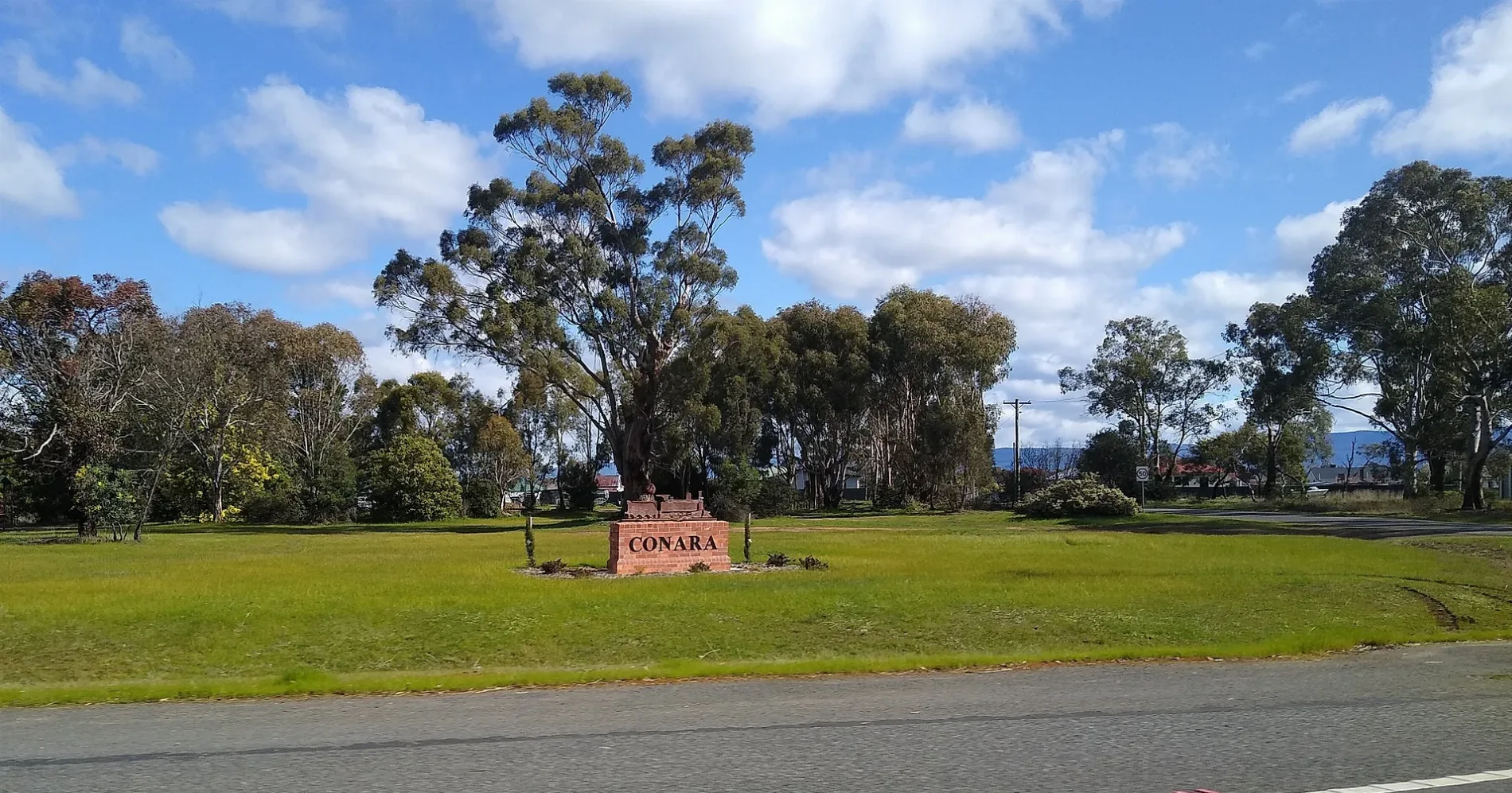
Roads nearby
Conara Roadside ParkConara Roadside Park
100 m
Conara RoadConara
1,0 km
Esk Main Road1,0 km
Old Midland Highway1,5 km
Leake Street4,1 km
Forest Hall Road5,1 km
Glen Esk RoadVaucluse Estate
5,1 km
Woorak Road7,8 km
Macquarie RoadIsis
8,3 km
Brambletye Road8,4 km
Midland HighwayEpping Forest
8,4 km
Valleyfield Road8,6 km
Milford Road8,9 km
Railways nearby
Conara Rail Junction350 m
Body of waters nearby
Valcluse Reservoir4,2 km
Milford Lake7,1 km
Houses nearby
Disappearing House900 m
Nature reserves nearby
Conara Junction (Gazettal in Progress)250 m
Meadowbank Conara Conservation Covenant4,6 km
Railway lines nearby
Fingal Line250 m
South Line8,1 km
Stations nearby
Conara300 m
Streams nearby
Blanchards Creek3,3 km
Wetlands nearby
Smiths Lagoon2,9 km
Other nearby
North Campbell Town Airfield7,5 km
North Campbell Town Runway8,5 km
 Public transport map Conara Legend
| Railway | |
| Bus | |
| Tram |
 Cycling map Conara Legend
| Cycle path | |
| Cycle lane on road | |
| Cycling on bus lane | |
| Bicycle street | |
| Cyclists allowed | |
| Cyclists allowed, good surface | |
| No cycling | |
| Cobblestones |
| Long-distance cycle route | (depending on scale) | |
| Long-distance cycle route |
 Walking map Conara Legend
| Path |
| Long-distance hiking trail | (depending on scale) | |
| Long-distance hiking trail | ||
| No pedestrians |