
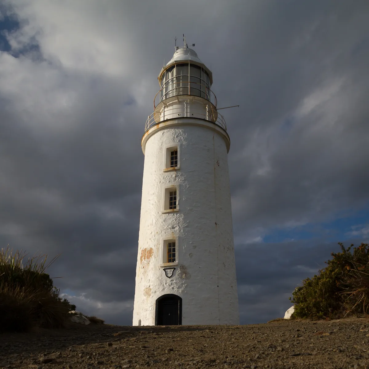
Cape Bruny Lighthouse in South Bruny
Cape Bruny Lighthouse in Tasmania is a lighthouse (built in 1836). Cape Bruny Lighthouse is also known as Cape Bruny Light Station and Jetty. Cape Bruny Lighthouse is near Cape Bruny Light Station Way. Ⓦ.
- Building Type
- building
Tourist information offices
Picnic site
Campsite
Viewpoint
Attraction
Parking
Roads nearby
Cape Bruny Light Station Way350 m
Old Jetty Road3,2 km
Luggaboine Circuit3,5 km
Jetty Beach AccessJetty Beach Camp Area
3,7 km
Lighthouse RoadMabel Bay Lookout
7,0 km
Labillardiere Peninsula Circuit7,1 km
East Cloudy Head Track9,1 km
Nature nearby
Courts Island1,0 km
Courts Rock1,4 km
Curlew Island7,5 km
Seagull Rock7,6 km
Beaches nearby
Lightouse Jetty Beach3,8 km
Hopwood Beach9,1 km
Buildings nearby
House 2300 m
House 1350 m
Cemeteries nearby
Convicts garden550 m
Museum nearby
Cape Bruny Light Station300 m
Other nearby
Elephant Rock1,4 km
| Heritage designation | listed on the Tasmanian Heritage Register |
|---|---|
| Located in | Kingborough Council |
| Street address | 1750 Lighthouse Road, South Bruny TAS 7150 |
| Country | Australia |
| Location | South Bruny |
Public transport map South Bruny Legend
| Railway | |
| Bus | |
| Tram |
Cycling map South Bruny Legend
| Cycle path | |
| Cycle lane on road | |
| Cycling on bus lane | |
| Bicycle street | |
| Cyclists allowed | |
| Cyclists allowed, good surface | |
| No cycling | |
| Cobblestones |
| Long-distance cycle route | (depending on scale) | |
| Long-distance cycle route |
Walking map South Bruny Legend
| Path |
| Long-distance hiking trail | (depending on scale) | |
| Long-distance hiking trail | ||
| No pedestrians |